Download
1 / 12
120 likes | 213 Views
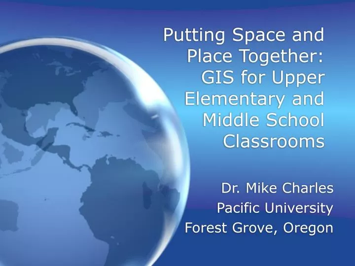
Putting Space and Place Together: GIS for Upper Elementary and Middle School Classrooms. Dr. Mike Charles Pacific University Forest Grove, Oregon. GIS-Geographic Information System. Digital maps with multiple layers A map built from a database Wikipedia’s definition.

E N D
Putting Space and Place Together: GIS for Upper Elementary and Middle School Classrooms Dr. Mike Charles Pacific University Forest Grove, Oregon
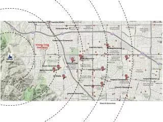
GIS-Geographic Information System • Digital maps with multiple layers • A map built from a database • Wikipedia’s definition
GIS in classrooms • GIS/GPS use is growing in K-12 classrooms (and in the rest of the world) • Problem: Use is idiosyncratic and often not coordinated across grade level • typical of emerging technology use • Curriculum development is difficult - bu worthwhile because… • Well suited to inquiry approaches • Aligns well with national standards
GIS tools Google Earth ArcExplorer-Java Edition for Educators (AEJEE) My World - developed at Northwestern and distributed by PASCO We’ll focus on the first two today
Google Earth • Open Google Earth • Fly to “Portland, Oregon” • Find and label the Oregon Convention Center • What else can you find? • Where you are staying • Your own home • Your own school
Google Earthquakes • Turn on the earthquake “layer” • Find the location of the earthquake closest to the convention center • Is this actually the closest earthquake? • Visit http://earthquake.usgs.gov/ to find recent earthquake information • Use Google’s “Add a placemark” tool to locate the earthquake • Don’t miss the “Tilt up” and “Tilt down” tool
Discussion • What might you do with your students with a tool that allows you to view both rich geospatial information and add placemarks of your own?
Google Earth-potential problems • A commercial tool migrating to education • The invasion of “sponsored speech” • The “bars/clubs” layer • May use more bandwidth than your school is able to provide
Invitation for collaboration Curriculum connections for the Google Earth tool Mike Charles College of Education Pacific University Forest Grove, Oregon charlesm@pacificu.edu
Potential GIS benefits • Attracts visual learners to studying science, social studies, mathematics and technology • Can promote higher-order thinking skills • Facilitates the use of real data • Lets students connect with local spaces and places (local data is available)