Download
1 / 26
260 likes | 457 Views
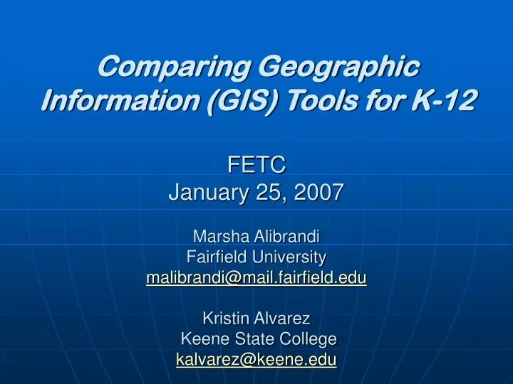
Comparing Geographic Information (GIS) Tools for K-12 FETC January 25, 2007 Marsha Alibrandi Fairfield University malibrandi@mail.fairfield.edu Kristin Alvarez Keene State College kalvarez@keene.edu. Why, When, Where & How to integrate GIS. The ‘Whys’ of Where (Kerski, 2002)

E N D
Comparing Geographic Information (GIS) Tools for K-12FETC January 25, 2007Marsha Alibrandi Fairfield Universitymalibrandi@mail.fairfield.eduKristin Alvarez Keene State Collegekalvarez@keene.edu
Why, When, Where & How to integrate GIS • The ‘Whys’ of Where (Kerski, 2002) • Then ‘whys of where are everywhere! • Or: Geography is everywhere! • What is GIS? • What are some of the new and evolving spatial tools? • How, where and why incorporate them into classrooms?
Who we are, where we’ve been • 1985: The GENIPThe Geographic Education National Implementation Project (GENIP), a consortium of geographic associations committed to improving the status and quality of geography education in the United States launched (now at • http://genip.tamu.edu/ ) • 1986-1991 (http://www.nsdc.org/library/publications/jsd/jsd11-97binko.cfm ) • National Geographic Society’s(NGS) Summer Institutes • and State Geographic Alliances • Geographic Awareness Weekis launched • Many of those same faces are now integrating new tools that weren’t around back then • The tools have and are proliferating
1990-95 • 1992: Charlie Fitzpatrick, formerly of the NGS Summer Institutes is hired by ESRI (Environmental Systems Research Institute), GIS software industry leader. • 2/5/95 Mapquest launches its www.mapquest.com website • 8/9/95Netscape goes public See Friedman’s The World is Flat, pp56-70 and • For an historic document, see: www.nsf.gov/od/lpa/news/03/pr0343.htm
1999: First GIS Day, national initiative by ESRI, NGS and Association of American Geographers (AAG) surpassed its goal of reaching 1 million as more than two million participated in events worldwide. • Celebrate GIS DAY!http://gisday.com
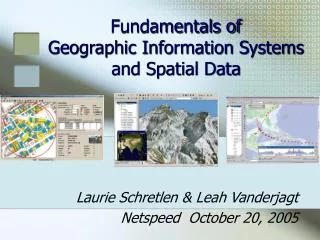
What is the status of GIS in education? • What is GIS? Geographic Information Systems Spatial layouts + Database + Analysis • Why incorporate GIS in schools? • To enhance curriculum with the spatial dimension & activities • To expand landscapes of learning between curriculum and community • Actual • Virtual • Critical • Ethical http://www.heinemann.com/shared/products/E00479.asp
Geography is Everywhere and so is GIS Where is GIS? • Satellite Technologies and Global Positioning Systems (GPS) • USGS Topographic and Resource Mapping • NASA/NOAA and DOD • Census Data • Local and Regional Planning • Transportation & Distribution Networks • Utilities, Emergency planning, 911 • Market information (Zipcoding, Real Estate)
The map in your GPS is a GIS • GIS allows you to ask and answer the ‘Whys’ • GPS is just the where Global Positioning System= 24 Geostationary Satellites owned by the US, free to the world for use in navigational aids 3 elements (4)Satellites, GPS Receiver + Base Stations
1 Computer +Internet Connection: • Mapquest—Local area maps & satellite images • Google Maps-’Pinpoint’ students by address onto A Google Map • Compare a current Google Map with an historic map of your cit from the LOC’ Panoramic Maps Collection • State and Local GIS resources: Examples: GRANITWeb: http://mapper.granit.unh.edu/viewer.jsp • National Atlas.gov http://www.nationalatlas.gov/ • ‘pangea animated gif’: http://www2.nature.nps.gov/geology/usgsnps/animate/pltecan.html
Map B: 1870 Philadelphia map http://hdl.loc.gov/loc.gmd/g3824p.pm008272 Map C: 1887 Philadelphia map http://hdl.loc.gov/loc.gmd/g3824p.pm008300 Alibrandi, 10-06
Map A: Satellite image Now, try to pinpoint the location of the Philadelphia Art Museum from these “Bird’s Eye View” or ‘Panoramic maps’ from 1870 and 1887, before the Museum was built! 1. Jump to: http://memory.loc.gov/ammem/pmhtml/panhome.html 2. Click on Geographic Location 3. Click on the sate of Pennsylvania (PA) 4. Scroll through the list to Map 137: (Map B) Philadelphia and vicinity showing location of the Philadelphia & Reading Railroad (c1870?) http://hdl.loc.gov/loc.gmd/g3824p.pm008272 On this map, notice the single Rail Line, complete with detail of smoking engine! The Railroad was brand new at this point, so it’s featured prominently on the map. Notice, too, that this map’s orientation is North-South unlike the map below. 5. Then find Map C: # 143 (Map C) Philadelphia of to-day. (c 1887) http://hdl.loc.gov/loc.gmd/g3824p.pm008300 Notice how fast the Rail lines grew in just 17 years! What’s the missing structure? Cross-Time Map Comparison Look at the pattern of city blocks on the map below and the orientation of the River Compare the two maps—the Historic map (A) and the Satellite image (B) Which way is North in the Satellite image? Which way is North n the Panoramic map? Now—can you see the location of the Museum in the historic Panorama? What is on the site? How did the site change between 1870 & 1887? Go to the box below… Alibrandi, 10-06
In the previous slides, we have discussed and demonstrated some of the online mapping tools that can be used in a one-computer classroom. • Following are a couple of examples of school projects that incorporated GIS as applied by many students at each school, requiring a lab outfitted with a GIS software application. • Ligon History Project, Raleigh, North Carolina • Ligon Magnet Middle School • http://www2.ncsu.edu/ncsu/cep/ligon/about/history/intro.htm • Jordan High School, Los Angeles • Teaching to Change LA • http://www.tcla.gseis.ucla.edu/divide/teachers/lausd_jordan.html
Multiple computer stations • All of the above PLUS • MyWorld Demonstration http://www.pasco.com • AEJEE: Arc Explorer: Java Edition for Education http://www.esri.com • ArcView or ArcGIS: Award-winning Classroom Resource: Mapping Our World: GIS Lessons for Educators Malone, Palmer & Voigt. ESRI Press, 2002; 2005.
Longing to forever remember… …Living & Learning at Ligon High School Echo 1959 Capturing the Past to Guide the Future
Ligon Middle School Teachers Students Alumni A Collaboration Ligon High History NC State University Professors Graduate Students Preservice Teachers Community Partners
Middle School Interdisciplinary Team GIS Web Archive Social Studies Oral History Documentation Language Arts Science Technology Architectural History Dendrochronolgy
Community Connecting with the School Dr. Wilson & the alumni demonstrate oral history interviews
Other Resources: FREE Download! ArcExplorerJava Edition for Educators: http://www.esri.com/software Historic Maps at FCIT: http://fcit.usf.edu/FLORIDA/maps/maps.htm MyWorld GIS for Classrooms: http://www.pasco.com Also mentioned: The Degree Confluence Project: http://www.confluence.org/
“I am not a teacher, only a fellow traveler of whom you asked the way. I pointed ahead—ahead of myself as well as of you.”George Bernard Shaw