Download
1 / 15
150 likes | 282 Views
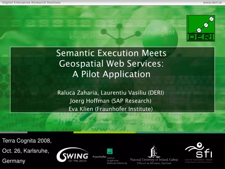
Semantic Execution Meets Geospatial Web Services: A Pilot Application. Raluca Zaharia, Laurentiu Vasiliu (DERI) Joerg Hoffman (SAP Research) Eva Klien (Fraunhofer Institute). Terra Cognita 2008, Oct. 26, Karlsruhe, Germany. Overview. Motivation Scenario Semantic model Execution

E N D
Semantic Execution Meets Geospatial Web Services:A Pilot Application Raluca Zaharia, Laurentiu Vasiliu (DERI) Joerg Hoffman (SAP Research) Eva Klien (Fraunhofer Institute) Terra Cognita 2008, Oct. 26, Karlsruhe, Germany
Overview • Motivation • Scenario • Semantic model • Execution • Results • Conclusions
Motivation Why semantics and geospatial web services: • data sharing and processing functionalities for geospatial entities • not just one service • metadata standards and catalogue services for description and search of geospatial services • no specifications to formally and explicitly define semantics of the data and functionality
Motivation We want automation • Discovery • Interoperability • Integration A semantic framework (WSMO/L/X) • semantic descriptions modelled • unsatisfactory execution performance • complex scenario • large amount of data of geospatial services
Scenario Average consumption Population Consumption (lat, long) Quarries Production (lat, long) Production- Consumption Map data Departments Population Consumption Quarries Production
Semantic Model Mediators Ontologies Goals Web services
Modeling tools WSMT v1.4.1 CompositionStudio
Execution Core AdminWFS QuarriesWFS Communication Manager Parser Discovery Data Mediation Choreography Engine Invoker Passthrough Resource Manager WSMO2Reasoner Framework Geospatial Web Services WSMX
Execution WSMX Choreography Engine WSMX Execution Semantics Requester Choreography Provider Choreography WSMX Invoker component registerChoreography (goal) initialize (state signature, choreography rules) initialize (state signature, choreography rules) registerChoreography (WS) in Choreography Execution updateState (R-to-P, instances) update(instances) step instances to send instances to send > 0 invokeWS (instance to send) service response ontology updateState (P-to-R, instances) update(instances) step isProviderChorInEndState() create response ontology
Improving the performance • Generality vs. performance • Minimum number of steps • Minimum number of instances in the state ontology • -> call services early • -> eliminate redundant calls • -> cache reasoning results
Conclusions • Real-life scenario of semantic execution in the geospatial domain Why use semantics (the framework supports): • Semantically described elements are a lot easier to (re)use • Reduced implementation time • Increased agility N:M integration
Conclusions Degree of automation • Services ranked and selected accurately • Compositions more adaptable to changes User input/approval still required. Automatic composition not available (lack of semantic descriptions, tools for users etc.)
Conclusions • Support for creation and execution of complex and flexible compositions • Service requester and service provider completely decoupled • An approach for generating the composition rules can used on top of the existing framework ASM: simple and intuitive way of defining service compositions “describe the requirements rather than telling the system step by step what to do”
Conclusions Each domain has particular requirements => discovery, mediation, execution etc. stressed in a different way SWS techniques over real services from the geospatial domain => huge execution overhead introduced Significant advantages of the approach => mandatory to improve the framework performance.