Download
1 / 14
140 likes | 379 Views
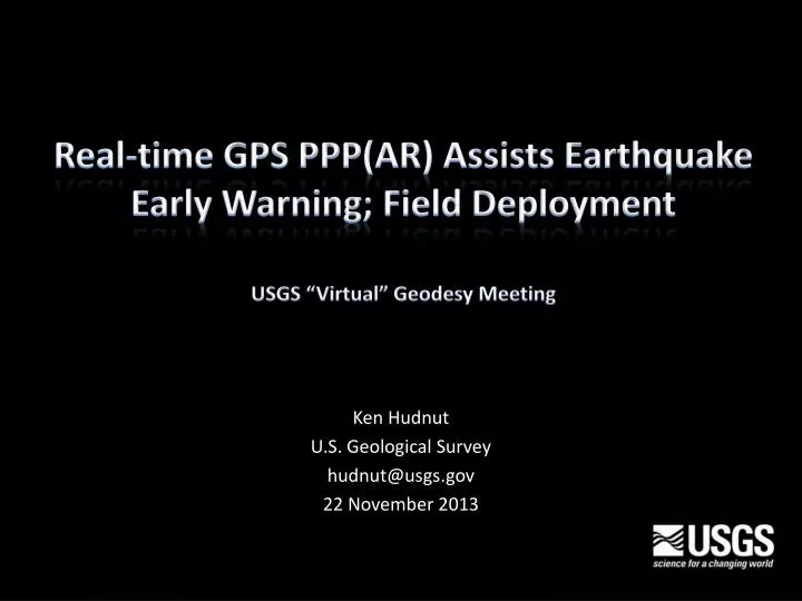
Real -time GPS PPP(AR) Assists Earthquake Early Warning; Field Deployment USGS “Virtual” Geodesy Meeting. Ken Hudnut U.S. Geological Survey hudnut@usgs.gov 2 2 November 2013. Long Term Vision.

E N D
Real-time GPS PPP(AR) Assists Earthquake Early Warning; Field DeploymentUSGS “Virtual” Geodesy Meeting Ken Hudnut U.S. Geological Survey hudnut@usgs.gov 22 November 2013
Long Term Vision • Install near-field instrumentation to rapidly detect displacements along major faults like the San Andreas – implement the “Zipper Array” concept • Improve GPS real-time technology; accuracy, precision, timeliness, robustness, reliability • Test, procure, and deploy gear on an ongoing basis • Develop new ways to use low-latency displacement data in EEW algorithms; Slip Sensor & Regional • As a byproduct, obtain data in a future great earthquake that could potentially revolutionize our understanding of earthquake source physics
Lone Juniper Ranch and Frazier Park High School Prototype GPS fault slip sensor Spans the San Andreas fault near Gorman, California Need robust GPS at all key lifeline crossings Desirable to include seismic with GPS Hudnut et al., 2002
Proposed a zipper arrayfor early warning and immediate finite-fault source for San Andreas and San Jacinto fault ‘Big Ones’ Los Angeles 2007 IOC - 36 quadrilaterals shown @ 30 km spacing (shown) FOC - 100 quads @ 10 km spacing ($5 M init. + $1 M/yr)
San Andreas fault 2013
Observing Static & Dynamic Displacements In near-field region, Ddynamic > Dstatic - very useful for EEW algorithms - e.g., Yamada, Heaton, Aagaard - FinDer (Böse, Heaton & Hauksson, 2012) Fault slip means displacements are instantaneous right at the fault, move with rupture front Direct observation of displacement is fastest Displacements decrease with 1/r2 At distances > 50 km, surface wave amplit.’s will exceed displacements and static will travel out at approx. S-wave velocity Examine rapid post-seismic behavior (friction law?) Dstatic Ddynamic
CISN ShakeAlert Courtesy of M. Böse (Böse, Heaton, Hudnut, Felizardo et al.) Idea: Back-projection of dynamic displacement (at GPS sensor) onto fault to estimate slip Fault Slip Detector (‘GPSlip’) Yamada, Heaton, Aagaard Example: Application to waveform simulations of M7.8 ShakeOut Scenario by Graves et al., 2008 observed surface slip estimated slip along San Andreas Fault
CISN ShakeAlert Courtesy of M. Böse (Böse, Heaton, Hudnut, Felizardo et al.) Fault Slip Detector (‘GPSlip’) slip legend GPS sensors and estimated slip Slip estimated from back-projection using ShakeOut waveform simulations by Graves et al., 2008
CISN ShakeAlert Courtesy of M. Böse (Böse, Heaton, Hudnut, Felizardo et al.) Caltech USGS Pasadena Fault Slip Detector (‘GPSlip’) Current Processing: GPS sensor Real-time estimation of fault slip (using back-projection) RTK/PPP(AR) using RTNet software raw data position time series for each sensor location (JSON format) UserDisplay GPS sensor internal testing GPS sensor . . . • Status: • no 24/7 operation • need to create associator, hardening software • need to connect to other ShakeAlertalgs, in particular FinDer
CISN ShakeAlert Courtesy of M. Böse (Böse, Heaton, Hudnut, Felizardo et al.) Caltech USGS Pasadena Fault Slip Detector (‘GPSlip’) Future Processing: GPS sensor Real-time estimation of fault slip (using back-projection) RTK/PPP(AR) using RTNet software raw data position time series for each sensor location (JSON format) UserDisplay GPS sensor internal testing TOPCON and other receivers GPS sensor ... Real-time conversion to EW tracebuf2 GPS sensor GSOF ~40 sites NetR9 with RTX ...
Displacement test results simulating 150 cm dynamic and 75 cm static earthquake repeated offsets … special purchase by Caltech with new UASI funds for EEW from City of LA 10 Hz output to EEW - position - velocity Deploy to ‘zipper’ array as upgrades under way Real-time output from GPS receiver… “paradigm shift” “revolutionary”
Field deployment half-way completed: NetR9 RTX field performance at ~10 mm RMS horiz. ~20 mm RMS vert. is even better than expected (due to GLONASS & revised receiver configuration settings)
Senator Padilla and Doug Given, USGS Governor Signs California Earthquake Early Warning Bill Governor Jerry Brown signed the California earthquake early warning bill, SB 135, on September 24, 2013. The bill calls for Cal OES in collaboration with USGS, CISN, State agencies and private partners to “develop a comprehensive statewide earthquake early warning system in California.” Cal OES has until January of 2016 to identify funding for the system “through single or multiple sources of revenue that shall be limited to federal funds, funds from revenue bonds, local funds, and private grants.” State General Funds are specifically excluded as a source.
USGS “zipper array” along San Andreas for early warning Ken Hudnut hudnut@usgs.gov (626)583-7232