Download
1 / 20
200 likes | 344 Views
10.1 Physical Geography. Central Asia. Physical Features. All of the countries in this region are landlocked , or completely surrounded by land with no direct access to the ocean. Mountains. Many high mountain ranges run through Afghanistan, Tajikistan, and Kyrgyzstan.

E N D
10.1 Physical Geography Central Asia
Physical Features • All of the countries in this region are landlocked, or completely surrounded by land with no direct access to the ocean.
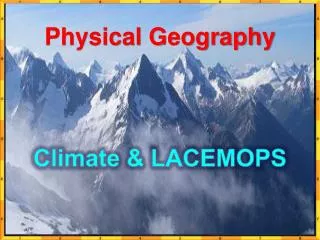
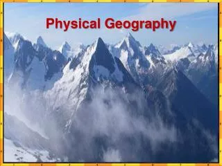
Mountains • Many high mountain ranges run through Afghanistan, Tajikistan, and Kyrgyzstan. • The Hindu Kush runs through Afghanistan • Large glaciers are common in high mountains such as the Pamirs.
Mountains • The mountains have contributed to the region’s isolation. • Mountains make it hard to travel and communicate. • Tectonic activity also causes frequent earthquakes in the region.
Plains and Plateaus • From mountains in east, the land gradually slopes westward. • The central part of the region is covered with plains and low plateaus. • The plains region is the site of the fertile Fergana Valley, a major center of farming in the region for thousands of years.
Rivers & Lakes • Two rivers, the Syr Darya and the Amu Darya, flow through the Fergana Valley from eastern mountains into the Aral Sea, which is really a large lake. • Another important lake, Lake Balkhash, has freshwater at one end and salty water at the other end.
Climate & Vegetation • High peaks in the eastern mountain area are too cold, dry, and windy for vegetation. • Two deserts—the Kara-Kum in Turkmenistan and the Kyzyl Kumin Uzbekistan and Kazakstan—have extremely high temperatures.
Climate & Vegetation • The only place in Central Asia with a milder climate is the far north. • Temperature ranges are not so extreme and rainfall is heavy enough for plants to grow.
Natural Resources: Water • Main water sources are the Syr Darya and Amu Darya rivers. • Since water is so scarce, conflict between Uzbekistan and Turkmenistan have arisen over how to use the water from the rivers
Natural Resources: Water • River water used mostly to irrigate cotton fields • So much water from the rivers is used for irrigation that almost no water reaches the Aral Sea today. • Because of this, the Aral Sea has lost more than 75% of its water since 1960.
Natural Resources: Water • Central Asia’s rivers also supply power. • Countries have built large dams on the rivers generate hydroelectricity.
Oil & Other Resources • Uzbekistan, Kazakhstan, and Turkmenistan have huge reserves of oil and natural gas. • Reserves must be exported to benefit the countries.
Oil & Other Resources • With no ocean port, oil and gas must be transported through pipelines. • Building and maintaining pipelines is difficult through the rugged terrain.
Oil & Other Resources • Kazakhstan has many mineral mines. • Gold, silver, copper, zinc, uranium, and lead • Also large amounts of coal