Download
1 / 12
120 likes | 225 Views
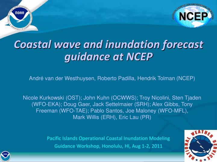
Coastal wave and inundation forecast guidance at NCEP. Pacific Islands Operational Coastal Inundation Modeling Guidance Workshop, Honolulu, HI, Aug 1-2, 2011. Andr é van der Westhuysen, Roberto Padilla, Hendrik Tolman (NCEP)

E N D
Coastal wave and inundation forecast guidance at NCEP • Pacific Islands Operational Coastal Inundation Modeling • Guidance Workshop, Honolulu, HI, Aug 1-2, 2011 André van der Westhuysen, Roberto Padilla, Hendrik Tolman (NCEP) Nicole Kurkowski (OST); John Kuhn (OCWWS); Troy Nicolini, Sten Tjaden (WFO-EKA); Doug Gaer, Jack Settelmaier (SRH); Alex Gibbs, Tony Freeman (WFO-TAE); Pablo Santos, Joe Maloney (WFO-MFL), Mark Willis (ERH), Eric Lau (PR)
Outline Present NCEP WWIII wave products Local high-resolution wave modeling system (NWPS) Future: ESTOFS implementation Future: Local circulation and inundation modeling Future: Accounting for wave runup Conclusions
Present NCEP WWIII wave products Current WWIII global grid mosaic Desired nearshore application Max. coastal resolution = 4 arc min (7.5 km) Required nearshore resolution < 500 m
The Nearshore Wave Prediction System (NWPS) • Run locally, on-demand, using SWAN or nearshore WWIII • Based on IPF-SWAN and SR-SWAN. • Be included in the AWIPS II baseline for sustainability • Address regionally-specific high impact issues in the nearshore (surf breaking, wave-current interaction, etc.) • Driven by forecaster-developed winds from GFE (AWIPS II), and external sources (e.g. WWIII, RTOFS/ESTOFS) • Include wave partitioning to enable using output directly in the development of gridded wave forecasts • Future inclusion of a coastal circulation model (ADCIRC)
NWPS system architecture WWIII Boundary Conditions RTOFS Water levels/ Currents GFS Winds Other Input FTP/LDM AWIPS II Environment NWPS ADCIRC WWIII SWAN CAVE (D2D, GFE) FC Guidance Products FC Winds GRIB2 EDEX (Data Server) Additional wave output (NetCDF, HDF5, GRIB1) NDFD (total field; partitions) CAVE: Common AWIPS Visualization Environment EDEX: Environmental Data Exchange LDM: Local Data Manager
IFP-SWAN implementation WFO Honolulu Coarse run: 12 km resolution Fine run: 4 km resolution Run 2x a day for 00Z and 12Z cycles of WWIII, with NAM243 winds
RTOFS water level and current ingest Sign. wave height without Gulf Stream data Sign. wave height with Gulf Stream data
East Coast 2001 tidal database grid (EC2001) 254,565 nodes Coastal resolution ≈ 3 km Specified the tidal boundary forcing at 60o W Previously adapted to produce EC2001_NOS tidal database Update of EC2001 tidal database Barotropic ADCIRC model Tidal forcing from TPXO 6.2 global tide model 365 day run analyzed for NOS’ primary suite of 37 constituents Added: Meteorological forcing from GFS (wind shear, inverse barometric effect) Possibility to extend to Pacific Region Future: Operational BCs from ESTOFS (Funakoshi et al.)
Future: Local circulation modeling WWIII-ADCIRC tight coupling, e.g. Dietrich et al. (2010) Eureka, CA Saucedo (2005)
Future: Accounting for wave runup • 2% exceedence value for wave runup:(Stockdon et al. 2006, 2007) • Erosion (collision) • Overwash • Inundation Stockdon (2011, ER Marine Focal Point meeting)
Conclusions • NWPS: Local high-resolution wave modeling, standardized on the AWIPS II baseline (deterministic). • RTOFS current and water level ingest • Future: ESTOFS implementation and BC ingest • Future: Local circulation and inundation modeling (WWIII-ADCIRC coupling) • Future: Accounting for wave runup using empirical relations.