Download
1 / 23
230 likes | 332 Views
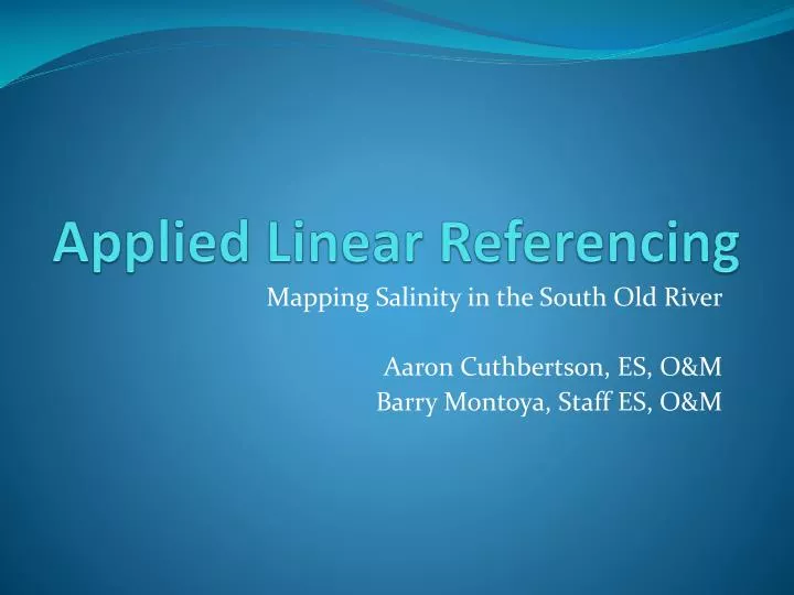
Applied Linear Referencing . Mapping Salinity in the South Old River Aaron Cuthbertson, ES, O&M Barry Montoya, Staff ES, O&M. Background – Salinity in SOR. SWRCB has set salinity objectives for the South Delta South Old River at times exceeds salinity objectives set by SWRCB

E N D
Applied Linear Referencing Mapping Salinity in the South Old River Aaron Cuthbertson, ES, O&M Barry Montoya, Staff ES, O&M
Background – Salinity in SOR • SWRCB has set salinity objectives for the South Delta • South Old River at times exceeds salinity objectives set by SWRCB • The objective of the study is to gain a better understanding of the sources of salinity in the South Old River
Background – Salinity in SOR • Lead Scientist – Barry Montoya • Began doing transects of SOR in 2009 • Salinity is typically measured by Electrical Conductivity (EC) – the more conductive a solution is, the saltier. Seawater conducts electricity very well; distilled water conducts very poorly.
Background – Sampling Equip Datalogger GPS 6 MPH EC Sensor
Background – Lots of Data • Many transects recorded • Under different tidal conditions • During different times of the year
Problem – GPS (XY) Coordinates • How do we compare one transect with another based on GPS coordinates? • How do we compare transect data to fixed features along the river?
What do we want? • Ability to easily compare different transects based on location of data points • Ability to compare transects to important features on river, such as discharge pipes
Route feature class • route = polyline feature class with an embedded measurement system • In ArcGIS, the term route refers to any linear feature, such as a city street, highway, river, or pipe, that has a unique identifier and a common measurement system along each linear feature.
Linear Referencing - process Point Feature class Event Table Locate features along routes tool Route Feature Class