Download
1 / 11
130 likes | 288 Views
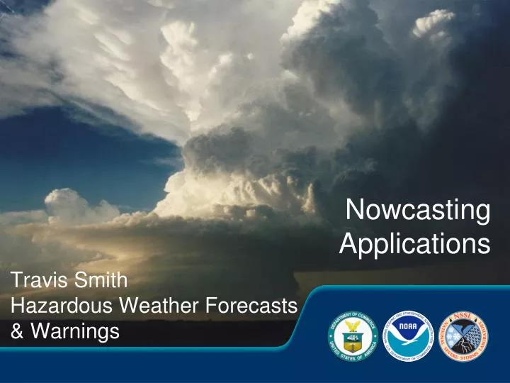
Nowcasting Applications. Travis Smith Hazardous Weather Forecasts & Warnings. “Nowcasting” Applications. Remotely sensed detection 0-2 hour warning / forecast High temporal and spatial resolution. Assistance for warning decision-making. NSSL Laboratory Review February 17-19, 2009.

E N D
Nowcasting Applications Travis Smith Hazardous Weather Forecasts & Warnings
“Nowcasting” Applications Remotely sensed detection 0-2 hour warning / forecast High temporal and spatial resolution Assistance for warning decision-making. NSSL Laboratory Review February 17-19, 2009 2
Need to quantify uncertainty, rather than a deterministic answer Entire feature reduced to a point Limitations of early algorithms • Need better quality control and higher resolution data • Need all meteorological information that went into algorithm decision • Not easy to integrate data from multiple sensors 3
Blended 3D multi-radar data • Radars in network supplement each other: • Overlapping coverage • Fills in gaps from terrain blockage • Increased sampling frequency 5
Height of -20C Isotherm Example: Blending data from multiple sources • SatelliteRadarLightning 6
Near-surface reflectivity Reflectivity @ -20 C Total Lightning Density Max Expected Size of Hail (~6.5 km AGL) Examples: Multi-sensor data fields • Show physical relationships between data fields from multiple sensors • Storm tracks and trends can be generated at any spatial scale, for any data fields 7
Users • We produce about 100 different data fields in real-time • Storm Prediction Center operations (& other NCEP) • 5 NWS Forecast Offices – direct feeds • Google Earth layer: 12,000 unique users, 3.5M to 12M hits per month (including additional NWS users) • Licensed to private industry: 46% of US TV stations • Transition to NWS operations once AWIPS2 deployed 8
Hazardous Weather Testbed / Experimental Warning Program • Continued collaboration with forecasters is vital! 9
Ongoing / Future research • Integrating new data sources • Polarimetric radar data • Phased Array Radar • Total Lightning (GOES-R & ground-based sensors) CONUS-scale 3D radar re-analysis at 1km / 5 min – • data mining • 1995 – present Zdr“column” 0° C Reflectivity 0° C Cross-section NSSL Laboratory Review February 17-19, 2009 10
Summary • Science and applications to support nowcasting: • Multi-sensor applications • Forecaster-driven • Products show physical process relationships • Moving towards probabilistic hazard information • Wide use across NWS and private sector 11