Download
1 / 30
300 likes | 492 Views
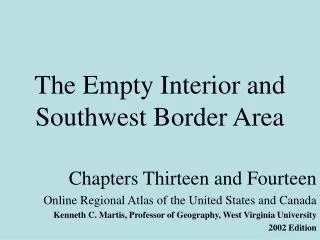
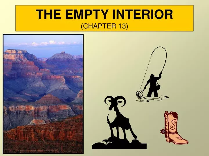
THE EMPTY INTERIOR (CHAPTER 13 ). INTRODUCTION. The largest area of sparse population in sub arctic North America Sparse population is the key identifiable feature of the region.

E N D
INTRODUCTION • The largest area of sparse population in sub arctic North America • Sparse population is the key identifiable feature of the region. • Population is mostly of Northern European stock, with Hispanic Americans and American Indians being dominant in some areas. • Economic activities are not evenly distributed. • Key activities include irrigated agriculture, ranching, lumbering, mining, and tourism. • The region is outlined on the map on page 291.
EMPTY INTERIOR
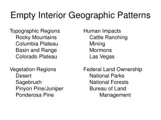
PHYSICAL GEOGRAPHY • Mountains • Have much greater variation in local relief compared to eastern mountains • Much higher and more rugged. • Dominate the physical landscape, • Impact greatly on regional climate • Impede transportation.
PHYSICAL GEOGRAPHY • Plateau Country • Occupies most of the region • Varies in relief, but most of the area is underlain by gently dipping sedimentary rocks • Major landscape features within are created by “exotic streams.” • Colorado and Snake Rivers
NORTH AMERICA PHYSIOGRAPHY
PHYSICAL GEOGRAPHY • Lake Bonneville • Previously the largest of lakes in the plateau area • Resulted from the melting of alpine glaciers during the latter part of the Ice Age • Originally covered more than 9,500 mi2, mainly in northern Utah • Diminished in size because stream flow depends on annual precipitation • Remnant is Great Salt Lake, which is about 1,900 mi2 and has a salt content much higher than the oceans
PHYSICAL GEOGRAPHY • Climate • The region includes much of the area within North America that is classified as desert. • Precipitation generally relates to topography, with the greatest amounts occurring at higher elevations. • The region is strongly dependent upon surface water that flows down and outward from the mountains.
HUMAN IMPRINT • Public Land Ownership • Map on pg 296 reveals that much of the land in the region still remains under government control • 90% of Nevada remains in government hands. Why? • (1) The lands were the last to be settled. • (2) The area is largely unsuitable for agriculture. • (3) An effective conservation program was initiated by President Roosevelt in the early 1900s which encompassed much of the region.
HUMAN IMPRINT • Public Land Ownership • National Parks • A substantial number of National Parks are found in the Empty Interior. • They include vast acreage of unique landscapes. • Forest Lands • Not known for their productivity, but serve as areas where the multiple-use concept is applied • Host activities include grazing and recreation as well as forestry.
HUMAN IMPRINT • Public Land Ownership • Indian Lands • Reservations are generally the poorest quality lands • Changing due to the presence of minerals (coal and uranium) • Sizable acreage is situated in Arizona and New Mexico. • Public Concerns • Historically - no property tax on government lands. • Undeveloped areas are widespread. • Grasslands have suffered misuse - overgrazing. • Widespread belief that the region is unable to plan and control its own destiny.
HUMAN IMPRINT • Mormon Influence • After moving from New York, church founder Joseph Smith was killed in Illinois in 1844, prompting a continuation of westward migration. • Initial settlement was in the Wasatch Valley of Northern Utah • The population has increased dramatically through natural processes. • The Mormons were innovative agriculturalists who adapted well to the environment and were pioneers with irrigation and dry farming.
HUMAN IMPRINT • Agriculture • Much of the southern half of the region must rely on the Colorado, Gila, and Salt Rivers for irrigation. • In the north, the Snake and Columbia Rivers drain major agricultural areas. • Producing regions and products • Columbia River Valley • alfalfa, sugar beets, and potatoes • apples are key in Washington
HUMAN IMPRINT • Producing regions and products (cont) • Snake River Valley • potatoes and sugar beets, especially in the Plains region of Idaho • Colorado River Valley • alfalfa, sugar beets, and potatoes • peaches important in Colorado • Imperial Valley • boasts 300 frost-free days • vegetables, lettuce, grapes, cotton, and alfalfa • Double cropping is possible with some crops.
HUMAN IMPRINT • Producing regions and products (cont) • Coachella Valley (north of the Salton Sea) • a major producer of grapes, grapefruits, and dates • Yuma Valley (along the lower Colorado) • a major producer of cotton, sugar beets, and oranges • Salt River Valley • lettuce (winter type), with oranges and cotton also being significant
HUMAN IMPRINT • Transportation Routes • Take on an East-West orientation • Appear to pass through rather than serve the region • Larger towns developed from early rail service centers. • Tourism • Appears to be a mixed blessing • Generates income but also has an impact on the quality of the natural environment • Somewhat seasonal (except for Las Vegas) and is focused on the National Parks and ski resorts
HUMAN IMPRINT • Mining • Gold was initially important. • Copper is found in Arizona, Utah, and Montana. • It provides significant employment since it is low grade and requires smelting. • Lead and zinc are second and third in order of importance and are concentrated in British Columbia. • The distribution of oil shale is shown on page 309.
KEY TERMS • Wilderness Act of 1964 • Initially designed to secure lands for protection and preservation and to administer these lands for use and enjoyment as wilderness • Implies that humans must honor a "hands-off" approach to managing such areas • A significant amount of acreage within the Empty Interior falls into this category.
KEY TERMS • Transhumance • Refers to the seasonal movement of people and their livestock, in search of pastures • Winters are spent in snow-free lowlands. • Summers are spent in the cooler uplands. • Within North America, the practice is found only in the Empty Interior. • Movement may be either vertical between lower and higher elevations, or horizontal, where precipitation patterns determine the availability and quality of pasture.
KEY TERMS • Oil Shale • A potential resource existing in vast deposits in the Green River Formation of Utah, Wyoming, and Colorado • A fine textured sedimentary rock from which kerogen (a waxy hydrocarbon) or shale oil can be extracted • When crushed and heated, kerogen can be liquefied and refined.
NORTH AMERICA FOSSIL FUELS
NORTH AMERICA FOSSIL FUELS