Download
1 / 22
220 likes | 444 Views
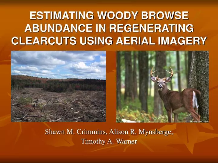
ESTIMATING WOODY BROWSE ABUNDANCE IN REGENERATING CLEARCUTS USING AERIAL IMAGERY. Shawn M. Crimmins, Alison R. Mynsberge, Timothy A. Warner. INTRODUCTION. Timber harvest Common in eastern hardwood forests Can create wildlife habitat Abundance of available forage

E N D
ESTIMATING WOODY BROWSE ABUNDANCE IN REGENERATING CLEARCUTS USING AERIAL IMAGERY Shawn M. Crimmins, Alison R. Mynsberge, Timothy A. Warner
INTRODUCTION Timber harvest Common in eastern hardwood forests Can create wildlife habitat Abundance of available forage Assessment of forage abundance Time consuming, labor intensive field work Method to quantify browse remotely?
INTRODUCTION Remote sensing in forestry Forest species classification Forest health Forest regeneration Remote sensing in wildlife Habitat classification Habitat quality?
OBJECTIVE Use readily available aerial imagery to estimate the abundance of woody browse in regenerating clearcuts
STUDY AREA Penn-Virginia (formerly MeadWestvaco) Wildlife and Ecosystem Research Forest 3413 hectares Randolph County, WV Northern hardwood forest community Actively harvested Dominated by clearcutting
METHODS 12 regenerating clearcuts Surveyed as part of large-scale deer research 6 age classes (0 – 5 years post harvest) 2 cuts in each class 30 plots in each cut (15 edge, 15 interior), 0.5m2 Identified and counted all woody stems < 1.5 m Maximum browse height of deer Variable of interest
METHODS Aerial imagery National Agriculture Imagery Program (USDA) 2 meter resolution Visible spectrum only Taken on September 24 (37 days after last field survey) Chosen due to availability Publicly available Representative of data available to forest/wildlife managers
METHODS Generated 12 image metrics Mean and variance Red, Green, Blue Ratios calculated, but abandoned later Hand digitized clearcuts in ArcGIS 9.1 Multiple Linear Regression (PROC REG) Forward variable selection α = 0.10 for entry into model
RESULTS Censored one cut from analysis due to excessive shadows covering edge plots Ratio terms removed Insufficient degrees of freedom 12 predictor variables 11 observations
RESULTS • Forward selection-second step (r2 = 0.7684) Forward selection-first step (r2 = 0.5109)
RESULTS Forward selection-third step (r2 = 0.8953)
RESULTS Forward selection-final step (r2 = 0.9375) • Variable selection summary
RESULTS Final model (p = 0.0009) • Global model (p = 0.0062, r2 = 0.9671)
RESULTS Accurate across abundances
DISCUSSION High (r2 > 0.9) predictive accuracy Minimal complexity 4 predictor variables Visible spectrum Normally distributed error term Slight deviance in tails Low abundance sites (logging slash) High abundance sites (canopy growth)
DISCUSSION Visible spectrum only Available in almost all imagery Still allowed high predictive accuracy Lack of IR bands (required for NDVI) Growth > 1.5 meters Technique available to most managers No knowledge of remote sensing/GIS required
FUTURE DIRECTIONS Temporal replication Only 1 year Track individual cuts across growing seasons Spatial replication Local weather/climate affecting growth? Different forest types?
ACKNOWLEDGMENTS Matt Shumar, Chris Runner MeadWestvaco Corporation West Virginia Division of Natural Resources WVU Division of Forestry and Natural Resources Cooperative Fisheries & Wildlife Research Unit Department of Geology and Geography WV View