Download
1 / 34
350 likes | 449 Views
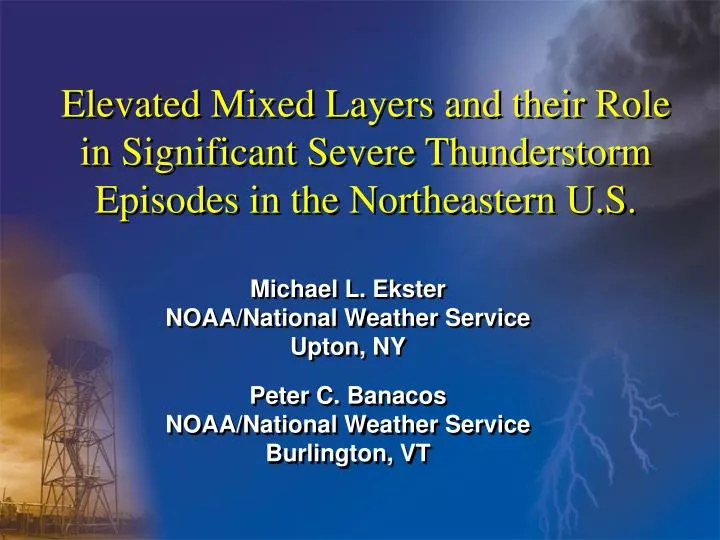
Elevated Mixed Layers and their Role in Significant Severe Thunderstorm Episodes in the Northeastern U.S. Michael L. Ekster NOAA/National Weather Service Upton, NY

E N D
Elevated Mixed Layers and their Role in Significant Severe Thunderstorm Episodes in the Northeastern U.S. Michael L. EksterNOAA/National Weather Service Upton, NY Peter C. Banacos NOAA/National Weather Service Burlington, VT
Outline of Presentation • Study purpose and objectives • EML fundamentals • structure • formation • movement • Data and Methodology • Study Results • Case Studies • Conclusions • Future Work
Study Objectives • We know that EMLs play a large role in severe weather episodes in the Great Plains • Find out if EMLs play a part in high-end severe weather episodes in the Northeast U.S. • How do they play a part? • Examine synoptic scale patterns conducive to EML advection into the Northeast • Increase forecaster awareness in the Northeast
A severe weather environment that includes an EML usually results in high-end convection. Why? • The EML prevents deep, moist convection until high potential instability is achieved(bottom of EML acts as a lid or cap). • In the absence of deep, moist convection, warm, moist low level air can flow poleward in an unimpeded manner (underrunning). • Tendency to keep storms from becoming overly widespread (the exception is for severe MCSs). • Prevention of deep vertical mixing. Generally does not allow SFC dewpoints to mix out. • Very steep lapse rates in mid levels enhances CAPE, NCAPE = fast updraft accelerations. • DCAPE enhancement
Elevated Heating = Steeper Lapse Rates Cold Cold Warm Cool
In the absence of widespread diabatic processes, EMLs are advected downstream without changing much character at all: The largest contribution to time local rate of change of lapse rate is horizontal advection. This is a big key! From Jon Finch, NWS DDC
Elevated Mixed Layers in the Northeast U.S. ? • Much research has been done on the Great Plains EML. Occurrence there is quite frequent – much closer to the source region. • Very limited research has been conducted on the occurrence of EMLs in the Northeast. Common in the plains, but quite rare here! - Farrell and Carlson, 1989 (5/31/85 PA outbreak) - Lanicci and Warner, 1991 - Bentley, 1995 (7/15/95 Derecho) - Johns and Dorr, 1996 - LaPenta et al., 2002 (5/29/95 Great Barrington, MA)
Data and Methodology • Used John Hart’s (SPC) SVRPLOT program to search for “higher-end” severe weather reports in the Northeast over the last 40 years or so. • The term “high-end” is subjective. • SPC considers individual events significant when the following criteria are met: -Hail size > or = 2” in diameter -Convective wind gust >64 kt (hurricane force) -F2 or greater tornado
Data and MethodologyBreaking down the numbers for the Northeast… • Of all severe weather reports since 1960… - Less than 10% were high-end - Approx. 15-20 reports per year - Most were contained in only 1-2 episodes (or “severe weather days”) - The high end cases accounted for approximately ¾ of all fatalities • Must be careful – spotter reports are sometimes unreliable!
Data and Methodology • After determining what days to use in the study, sounding analyses were conducted for Northeast upper air locations in an attempt to find EMLs • Plymouth State, UWY, NCDC • Sounding analysis program (RAOB)
Data and Methodology • If a suspected EML was found in any of the soundings, the following criteria had to be met: -No upper low directly over region -Lapse rates >=8.0 C/km over a depth >=200 mb -RH values in the layer must INCREASE with height -EML must be traceable back to the American/Canadian Rockies or the Mexican Plateau (trace back EML manually then confirm with trajectories - ARL) • Careful about sounding errors!
Confirming the sounding does contain an EML – trace back to source region Killer tornado day Mass Pike
NOAA ARL trajectory website Hysplit Model run using NCEP/NCAR reanalysis dataset (1940s – Present) Run a backward trajectory analysis http://www.arl.noaa.gov/ready/open/traj.html
ELP 12z 25Aug73 LBF 12z 26Aug73 SSM 12z 27Aug73 ALB 12z 28Aug73 Soundings courtesy of Plymouth State
Northeast U.S. EML Source Regions – same source region as Great Plains EML Mid-Late Season (July-Sept) Early Season (April-June)
EML advection into the Northeast • It’s quite amazing to know that EMLs can travel 2000-3000 km from their source region without changing much in character! • Most were advected in on WNW or NW flow in the mid levels • Majority of severe weather outbreaks in the Northeast are associated with NW flow
Mid level pattern conducive to EML advection into the Northeast U.S.
Composite 700 hpa anomalies for 6 randomly chosen Northeast EML cases D-3
Composite 700 hpa anomalies for 6 randomly chosen Northeast EML cases D-2
Composite 700 hpa anomalies for 6 randomly chosen Northeast EML cases D-1
Composite 700 hpa anomalies for 6 randomly chosen Northeast EML cases D0
Results • Severe weather days associated with EML occurrences varied from year to year • On severe weather days where EMLs were present, over 85% of those days contained numerous high-end severe weather reports • Most EMLs advected in on WNW or NW flow aloft • Recent EML severe weather events (88D era) were shown to contain numerous supercells • 6 of the last 9 derechos that affected the Northeast were accompanied by EMLs
A few cases From Johns et al., “About Derechos”
PIT 00z 7/15/95 OKX 12z 7/15/95
8-9 June 1953 RME, 15z JFK, 15z
How do I look for an EML on shift? • Use Volume Browser to load model 700-500 mb lapse rates. Look for anomalously high values upstream that seem to eject out of the Rockies • Very high 700 mb temperatures – during the warm season, EMLs are most commonly associated with values greater than +12C which acts as the “lid” or “cap” • Confirm using forecast soundings • Upstream RAOBs • SPC mesoanalysis graphics – mid level lapse rates • ACARS • EMLs almost always advect to the East Coast on mid level flow that is from the west or northwest – rarely from the southwest and never from the south
Conclusions • EMLs are rare in the Northeast • Given the right synoptic conditions, they do make it here • If a forecaster is expecting a severe weather episode on a given day, and an EML is overhead or directly upstream, a high-end severe weather event should be expected! • More confidence in using enhanced wording in the HWO, ZFP, SPS to highlight potential impact
Future Work • Null Cases • Closer look at possible EML augmentation during advection • Relationship to severe weather mode • In-depth climatological study – need some code • Real-time case studies