Download
1 / 12
120 likes | 219 Views
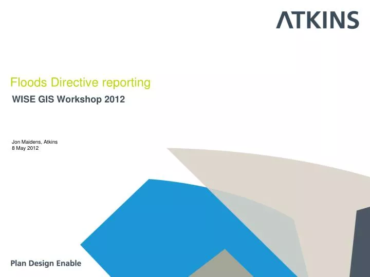
WISE GIS Workshop 2012. Floods Directive reporting. Jon Maidens, Atkins 8 May 2012. Overview. Reporting of Flood Risk and Hazard maps in 2014 and 2019 under Floods Directive Commission and Member States working to develop the guidance on reporting of Flood Risk and Hazard Maps

E N D
WISE GIS Workshop 2012 Floods Directive reporting Jon Maidens, Atkins 8 May 2012
Overview • Reporting of Flood Risk and Hazard maps in 2014 and 2019 under Floods Directive • Commission and Member States working to develop the guidance on reporting of Flood Risk and Hazard Maps • Draft GIS Guidance in circulation • Finalisation of INSPIRE Annex II and II themes • Now making a proposal to discuss how a proof of concept project in 2012 can support delivery
Short term goal • Reporting of geographical information, with • Web-links to detailed maps held in the Member States. • Visualised in a way which allows the user to select an area from the EU-wide WISE background map, and then via hyperlink established in WISE, to switch and to zoom into the correct area at MS level.
Overview map on flood hazard maps availability (Floods directive) ICPR Rhine Atlas 2013/2014 National, regional and local maps (ex.: Rhineland-Palatinate) ICPR Rhine Floods Risk Atlas Courtesy of Adrian Schmid-Breton, Secretariat of the ICPR
Long term • INSPIRE is being implemented, notably to be in place for the second cycle of flood maps (deadline for establishing maps: 22.12.2019) • Format for reporting/data and information exchange and visualisation/displayed of flood maps • Decentralised mode foreseen by that Directive, and • In line with a Shared Environmental Information System (SEIS) initiative and made available via WISE
Example of integration of national services http://www.floodrisk.eu/
Long term - Integration with INSPIRE • Metadata • Content • Delivery mechanism • Maps as View Services • Primarily Natural Risk Zones • Other relevant Annex II and III themes • Data services • INSPIRE provides framework • Work and negotiation to define the details within Floods context • Management
Goals of pilot project • Address short term and consider long term • Develop a commonly agreed and understood approach • Transition of the developed approach into an operational mode • Directly address concerns and issues • Drawn on MS work as much as possible • Provide series of progressional milestones towards INSPIRE integration in reporting
Pilot project activities • Volunteer Member States • Different threads: • Use of already reported information (APSFR) • Definition of data to be reported • Integration of existing FRHM maps and services to European portal • Symbology standardisation • European datasets in european aggregated maps • Reporting to INSPIRE specifications
Pilot project timeline • Currently in planning phase • Consultation between Commission and Floods drafting group
Thank you Jon Maidens (jon.maidens@atkinsglobal.com) GIS & ITATKINSArne Jacobsens Allé 17, 2300 Copenhagen S, Denmark | Tel: +45 5251 9000 | Fax: +45 5251 9001 | Direct line: +45 5251 9110 | Mobile: +45 2711 1295Email: Henrik.Kaltoft@atkinsglobal.com | Web: www.atkins.dk