Download
1 / 14
150 likes | 277 Views
2004 Tsunami Coastal Change Detection Analysis. Created by Ben Sciance GGY 522 Dr. Ghoneim. http://maps.ngdc.noaa.gov/viewers/hazards/#. http://maps.ngdc.noaa.gov/viewers/hazards/#.

E N D
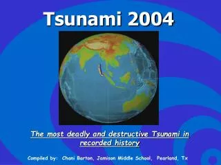
2004 Tsunami Coastal Change Detection Analysis Created by Ben Sciance GGY 522 Dr. Ghoneim
Sumatra-Andaman Earthquake: December 24, 20047:58AM9.3 magnitude1400km rupture along plates3rd strongest earthquake since 1900
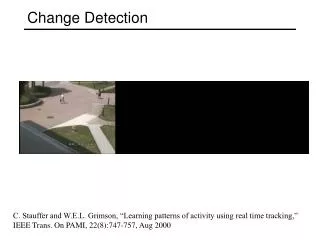
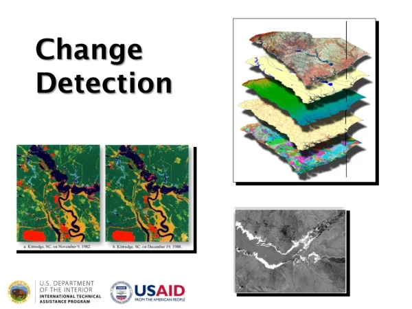
Run a change detection analysis in areas severely affected by tsunami. • Which landuse class is most greatly affected? • Is the area recovering? Objective
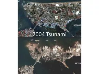
Southeast coast of Sri Lanka - 100,000 + families affected • Banda Aceh, Indonesia - 1 million people affected throughout Indonesia Study Area http://www.navy.mil/view_single.asp?id=21839
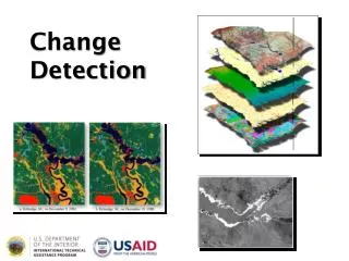
2001 2005
Table A: Sri Lanka Change Detection Matrix of Pre-Post Tsunami (km²) Table B. Sri Lanka Change Detection Matrix of Post tsunami and recent landsat image (km²)
Table C. Banda Aceh Change Detection Analysis of the 2004 Tsunami.
Sri Lanka: - 160km² of vegetation lost - 16km² of coastal villages were affected - Local water bodies increased in area by almost 8km² Recovery: -Vegetation gain of 99km² -Villages grow almost 6km² Summary
Banda Aceh: - Lost 8km² of vegetation - Urban areas lost about 5km² Further Analysis: - ArcMap DSAS tool- quantify shoreline loss in Banda Aceh
Msnbc.msn.com http://geosun.sjsu.edu/~sedlock/112/Dec04IndOcean.tsunami/Dec04IndOcntsunami.htm References Borrero, J.C. 2005. Field Data and Satellite Imagery of Tsunami Effects in Banda Aceh. Science 308 (5728): 1596. Dimri, A.V., Srivastava, K., and Rani, V.W. 2011. Tsunami propagation and inundation due to tsunamigenic earthquakes in the Sumatra-Andaman subducation zone: Impact at Visakhapatnam. Marine Geodesy 34: 48-58 Stein, S. and E. Okal. 2005. Speed and size of the Sumatra earthquake. Nature 434:581–582. Questions?