1 / 8

What can GIS/RS do for climate change?

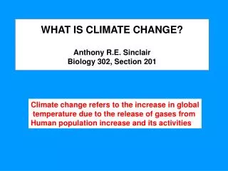
What can GIS/RS do for climate change?. Results of climate modelling. Higher intensity Rainfall Higher temperature Higher intensity cyclones Higher intensity wind gusts Sea level rise. Cyclone Map. Sea Level Rise. Results of climate change. Drought – Drought impact maps?

sabin
Download Presentation

What can GIS/RS do for climate change?

An Image/Link below is provided (as is) to download presentation Download Policy: Content on the Website is provided to you AS IS for your information and personal use and may not be sold / licensed / shared on other websites without getting consent from its author. Content is provided to you AS IS for your information and personal use only. Download presentation by click this link. While downloading, if for some reason you are not able to download a presentation, the publisher may have deleted the file from their server. During download, if you can't get a presentation, the file might be deleted by the publisher.

E N D

Presentation Transcript


  1. What can GIS/RS do for climate change?

  2. Results of climate modelling • Higher intensity Rainfall • Higher temperature • Higher intensity cyclones • Higher intensity wind gusts • Sea level rise

  3. Cyclone Map

  4. Sea Level Rise

  5. Results of climate change • Drought – Drought impact maps? • Extreme flooding – Results of modelling? • Sea encroaching to land…..etc • And many more…

  6. Drought impact Map

  7. Extreme flooding – Results of modelling?

More Related