Download
1 / 3
0 likes | 4 Views
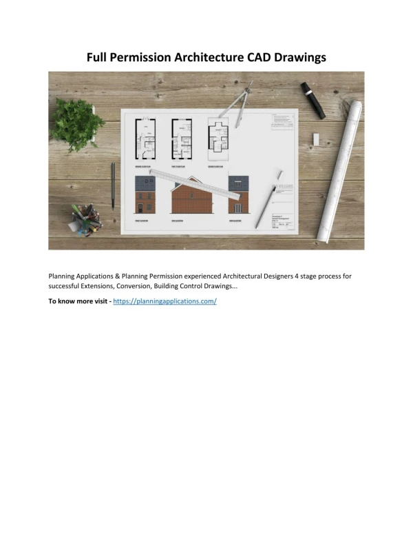
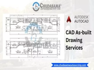
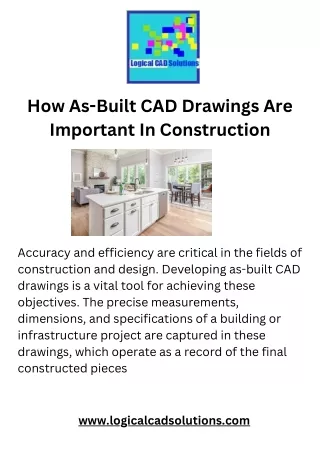
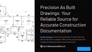
In the domain of architectural, engineering, and construction (AEC) industries, accurate documentation of as-built conditions is crucial for project success. Traditionally, creating as-built drawings involved time-consuming manual measurements and interpretation of existing structures. However, with advancements in technology, the integration of point cloud data into computer-aided design (CAD) platforms has revolutionized the process, offering unprecedented precision and efficiency.

E N D
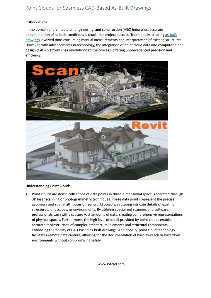
Point Clouds for Seamless CAD-Based As-Built Drawings Introduction: In the domain of architectural, engineering, and construction (AEC) industries, accurate documentation of as-built conditions is crucial for project success. Traditionally, creating as-built drawings involved time-consuming manual measurements and interpretation of existing structures. However, with advancements in technology, the integration of point cloud data into computer-aided design (CAD) platforms has revolutionized the process, offering unprecedented precision and efficiency. Understanding Point Clouds: •Point clouds are dense collections of data points in three-dimensional space, generated through 3D laser scanning or photogrammetry techniques. These data points represent the precise geometry and spatial attributes of real-world objects, capturing intricate details of existing structures, landscapes, or environments. By utilizing specialized scanners and software, professionals can swiftly capture vast amounts of data, creating comprehensive representations of physical spaces. Furthermore, the high level of detail provided by point clouds enables accurate reconstruction of complex architectural elements and structural components, enhancing the fidelity of CAD-based as-built drawings. Additionally, point cloud technology facilitates remote data capture, allowing for the documentation of hard-to-reach or hazardous environments without compromising safety. www.rvtcad.com
Seamless Integration with CAD: •The smooth incorporation of point cloud data into CAD environments has greatly enhanced the efficiency of producing as-built drawings. CAD software allows users to import point cloud datasets directly, providing a foundation for accurate modeling and documentation. This integration facilitates precise visualization and manipulation of as-built conditions within a familiar CAD interface, empowering designers, engineers, and architects to work efficiently and collaboratively. Moreover, it reduces the need for manual measurements, saving time and minimizing errors in the drafting process. Additionally, the ability to overlay point cloud data onto existing CAD models enables thorough analysis and comparison, ensuring comprehensive understanding and documentation of real-world structures. Enhanced Accuracy and Visualization: •One of the primary advantages of utilizing point clouds for as-built drawings is the unparalleled level of accuracy they offer. Unlike traditional measurement methods, which may be prone to human error or limitations in precision, point clouds provide a comprehensive and highly detailed representation of existing structures. This accuracy ensures that CAD-based as-built drawings reflect the true dimensions and spatial relationships of physical elements, minimizing discrepancies and potential rework during the design and construction phases. •Furthermore, point cloud data enables immersive visualization of as-built conditions, allowing stakeholders to explore virtual representations of real-world environments with unparalleled fidelity. By overlaying point clouds onto CAD models, professionals can gain insights into spatial relationships, identify potential clashes or conflicts, and make informed decisions regarding design modifications or renovations. This enhanced visualization capability enhances communication and coordination among project teams, fostering collaboration and minimizing costly errors. Efficiency in Documentation and Analysis: •In addition to enhancing accuracy and visualization, the integration of point clouds with CAD expedites the documentation process for as-built drawings. Traditional methods of manual measurement and drafting are time-consuming and labor-intensive, requiring extensive fieldwork and subsequent interpretation of collected data. In contrast, point cloud technology enables rapid data acquisition, capturing detailed information about existing conditions in a fraction of the time. •Once integrated into CAD software, point cloud data acts as a guide for generating meticulous as-built drawings. Designers can leverage specialized tools to extract key geometric features, generate accurate floor plans, elevations, and sections, and annotate details directly within the CAD environment. This streamlined workflow accelerates the production of as-built documentation while maintaining high levels of accuracy and consistency across drawings. www.rvtcad.com
•Moreover, point cloud data facilitates advanced analysis and simulation capabilities within CAD environments. By leveraging the rich spatial information contained within point clouds, designers can perform clash detection, structural analysis, and environmental simulations to evaluate design feasibility and optimize performance. These analytical tools empower decision-making throughout the project lifecycle, from initial design concepts to facility management and maintenance. Conclusion: In conclusion, Rvtcad the integration of point clouds into CAD environments has transformed the process of creating as-built drawings, offering unparalleled precision, efficiency, and visualization capabilities. By leveraging advanced scanning technology and CAD software, professionals can capture, model, and document existing conditions with unprecedented accuracy and detail. This seamless integration enhances collaboration, accelerates project timelines, and facilitates informed decision-making, ultimately driving greater efficiency and success in AEC projects. As the adoption of point cloud technology continues to expand, its role in shaping the future of as-built documentation is poised to become even more pronounced. www.rvtcad.com