Download
1 / 40
400 likes | 604 Views
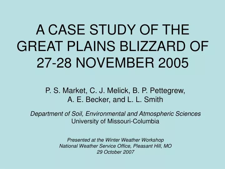
A CASE STUDY OF THE GREAT PLAINS BLIZZARD OF 27-28 NOVEMBER 2005. P. S. Market, C. J. Melick, B. P. Pettegrew, A. E. Becker, and L. L. Smith Department of Soil, Environmental and Atmospheric Sciences University of Missouri-Columbia Presented at the Winter Weather Workshop

E N D
A CASE STUDY OF THE GREAT PLAINS BLIZZARD OF 27-28 NOVEMBER 2005 P. S. Market, C. J. Melick, B. P. Pettegrew, A. E. Becker, and L. L. Smith Department of Soil, Environmental and Atmospheric Sciences University of Missouri-Columbia Presented at the Winter Weather Workshop National Weather Service Office, Pleasant Hill, MO 29 October 2007
With the aid of… • John Stoppkotte, SOO North Platte, Nebraska, NWS • UMC students enrolled in ATMS-4720, Synoptic Meteorology II • The National Science Foundation
Introduction • Analysis of occluded cyclone • Well-developed trowal structure • Multiple bands of precipitation • Blizzard conditions for an extended period in LBF CWA • Lightning activity present but limited snow(in.) gusts(mph) Courtesy, NOAA/NWS LBF
Purpose • Assess the nature of the unique trowal structure • Influence on banded precip? • Assess lightning observations • Are they valid? • Assess the production of extreme winds snow(in.) gusts(mph) Courtesy, NOAA/NWS LBF
2005 Nov 28 – Surface Obs • KAUH 1310Z +SN LTG DSNT SW • With NLDN flash near this time • KVTN 1622Z, 1652Z, 2008Z, 2032Z, 2052Z, 2109Z TSSN • KAUH – Aurora, NE • KVTN – Valentine, NE
2005 Nov 28 – 1300Z • Initial development of lightning and thunder • Reported in Aurora, NE, METAR • Corroborated by NLDN
2005 Nov 28 – 2100Z • Redevelopment of lightning and thunder • Emergence of trowal feature • And a unique double trowal signature • Evolution of meso- circulations • Significant banded precipitation underway
Various Model Solutions for trowal 21Z Nov 28 2005 – 308 K e
Cross Section through Double trowal 2100V009 Nov 28 2005 – NAM 212 Trowal Surface
Cross Section through Double trowal 21Z Nov 28 2005 – NAM 212 Grid Cross Section
WRF 12-km Solutions Valid 21Z Nov 28 2005 – 21 hr Solutions Reflectivity (Shaded & contoured)
WRF 12-km Solutions Valid 21Z Nov 28 2005 – 21 hr Solutions Reflectivity (shaded) with θe
WRF 12-km Solutions Valid 21Z Nov 28 2005 – 21 hr Solutions θe - Full Physics (green) / No microphysics (brown)
WRF 12-km Solutions Valid 21Z Nov 28 2005 – 21 hr Solutions θe (white contours)
WRF 12-km Solutions Valid 21Z Nov 28 2005 – 21 hr Solutions Reflectivity with ω
Conclusions • AUH - 13Z - One NLDN CG flash establishes a history of electrical activity • VTN - 16Z, 20Z, 21Z – METARS report TSSN based upon surface sensor • Valid, to the best of our knowledge • Also, soundings support existence of lightning
Conclusions • Existence of double trowal appears valid • Reason(s) for creation of the structure are unclear • Structure seems to have some bearing on banded precipitation development and/or evolution • The trowal aspect of this cyclone warrants further study
Thank you!Questions?Comments? marketp@missouri.edu ROCS Homepage : http://weather.missouri.edu/ROCS/