Download
1 / 10
100 likes | 229 Views
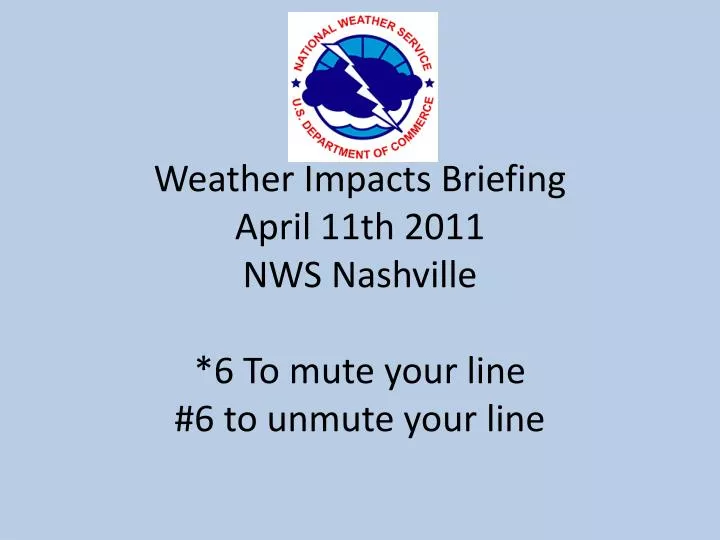
Weather Impacts Briefing April 11th 2011 NWS Nashville *6 To mute your line #6 to unmute your line. Today. More severe weather likely Beginning west late morning Main threat this afternoon Storm clusters with damaging winds expected Isolated Supercells/tornadoes possible

E N D
Weather Impacts BriefingApril 11th 2011NWS Nashville*6 To mute your line#6 to unmute your line
Today • More severe weather likely • Beginning west late morning • Main threat this afternoon • Storm clusters with damaging winds expected • Isolated Supercells/tornadoes possible • Around an inch of rain expected today • Locally higher amounts north/northwest
The Week Ahead • Main severe weather threat is today • Another cold front Thursday Night/Friday will bring threat for more storms • Much cooler weather expected next weekend • Briefing next Monday at 10 am • Will continue through May 23