Download
1 / 16
160 likes | 302 Views
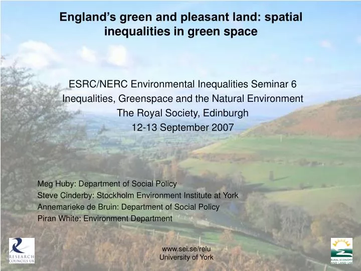
England’s green and pleasant land: spatial inequalities in green space. ESRC/NERC Environmental Inequalities Seminar 6 Inequalities, Greenspace and the Natural Environment The Royal Society, Edinburgh 12-13 September 2007 Meg Huby: Department of Social Policy

E N D
England’s green and pleasant land: spatial inequalities in green space ESRC/NERC Environmental Inequalities Seminar 6 Inequalities, Greenspace and the Natural Environment The Royal Society, Edinburgh 12-13 September 2007 Meg Huby: Department of Social Policy Steve Cinderby: Stockholm Environment Institute at York Annemarieke de Bruin: Department of Social Policy Piran White: Environment Department www.sei.se/relu University of York
England’s green and pleasant land: spatial inequalities in green space Brief outline of the RELU project Defining ‘green space’ across LSOAs in England Measuring inequality in rural and urban areas Differences between English regions Effect of changing the base spatial unit Relating inequality to inequity www.sei.se/relu University of York
England’s green and pleasant land: spatial inequalities in green space • Work based on a project in the Rural Economy & Land Use Programme (RELU) • RELU aims to advance understanding of the social, economic, environmental and technical challenges faced by rural areas • Aim of the earlier scoping study: • To integrate natural and social science data into a spatial dataset that can be used for analysis to inform rural policy-making and provide a knowledge base for furthering policy integration www.sei.se/relu University of York
www.sei.se/relu University of York
www.sei.se/relu University of York
www.sei.se/relu University of York
www.sei.se/relu University of York
www.sei.se/relu University of York
www.sei.se/relu University of York
www.sei.se/relu University of York
Comparing Gini coefficients calculated for different BSUs www.sei.se/relu University of York
www.sei.se/relu University of York
www.sei.se/relu University of York
www.sei.se/relu University of York
Lower-level Super Output Areas (SOAs) • specifically designed for collection & publication of small area statistics • consistent in terms of population size (average 400 households) • allow release of data unavailable at lower Output Area level • linked to postcodes • can be aggregated to other administrative units • no physical reality on the ground • variable in area (0.16 to 16.5km2) • polygon boundaries not linked to grid squares used for collection of much environmental data University of York
2004 Rural - Urban Definition • settlements with population > 10,000 defined as urban • others rural • Rural classification based on morphology and sparsity measured for 1ha grid squares. • SOA Morphology • small towns • villages and dispersed dwellings • SOA Sparsity • drop-off in population density away from centre University of York