Download
1 / 20
210 likes | 336 Views
GPS Based Radionavigation Infrastructure. James Arnold Federal Highway Administration. GPS Based Radionavigation Infrastructure. GPS Policy Principles GPS Modernization GPS and its Augmentations GPS and the Automobile Conclusions/Recommendations. AGENDA. US Policy Principles.

E N D
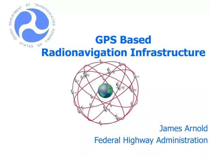
GPS Based Radionavigation Infrastructure James Arnold Federal Highway Administration
GPS Based Radionavigation Infrastructure • GPS Policy Principles • GPS Modernization • GPS and its Augmentations • GPS and the Automobile • Conclusions/Recommendations AGENDA
US Policy Principles No direct user fees Open market competition for user equipment Equal access for applications development and value added services Common use of GPS time, geodesy, and signal structure standards Recognition of security issues and protecting against misuse Protect radionavigation spectrum from disruption and interference
GPS Based Radionavigation Infrastructure GPS Background • Active program for over 25+ years • Created from separate DoD programs in 1973 • Developmental satellites began launch in 1978 • Operational satellites began launch in 1989 • Initial Operational Capability - 1993 • Full Operational Capability –1995 • Open civil navigation service • Signal specification available to industry and all users, both US and International • GPS service is free of direct user fees
GPS Based Radionavigation Infrastructure GPS Space Vehicles • Block II/IIA • All have been launched • Rockwell (now Boeing) • First launch Feb 1989 • 21 operational • Mean Mission Duration • (MMD) 9.6/10.23 yrs • Block IIR/IIR-M • In production • Lockheed/Martin • 21 procured • 7 operational • 1 destroyed on launch • MMD 10.62/8.57 yrs • Block IIF • In development • Boeing • 6 already procured • Options for 6 more • MMD 11.35 yrs
GPS Based Radionavigation Infrastructure Communication Latency and Automotive Applications Location Accuracy
GPS Based Radionavigation Infrastructure The Four Steps to Civil GPS Modernization 1. Selective Availability (SA) was set to zero 2. Addition of new L2 Civil (L2C) signal on the current GPS L2 frequency (1227.60 MHz) 3. Addition of the new GPS L5 civil signal on the new L5 GPS frequency (1176.45 MHz) 4. GPS III
GPS Based Radionavigation Infrastructure Selective Availability (SA) Set to Zero* *Figures represent signal in space only. Atmospheric and other errors are not included in this figure.
GPS Based Radionavigation Infrastructure The New L2 Civil (L2C) Signal • More robust civil signal service • Increased accuracy • Advanced signal structure • Working Group defined signal characteristics • Better cross-correlation properties than C/A • Data-free component for robust tracking • Designated as primary L2 civil code versus C/A • Scheduled for first launch in 2004
GPS Based Radionavigation Infrastructure The New L5 Civil Signal • Improved signal structure for enhanced performance • ~ 6 dB higher power relative to L1 • Broadcast over the full registered 24 MHz band • Spectrum allocated for Aeronautical Radionavigation Services (ARNS) (960 – 1215 MHz) • Co-primary allocation received at the last World Radio Conference (1164 – 1215 MHz) • L5 signal definition developed by civil government and industry representatives • First launch planned for 2006
GPS Based Radionavigation Infrastructure Civil Benefits of GPS Modernization • More robust GPS service • Reduces vulnerability to unintentional interference • Unlikely to simultaneously affect L1, L2 and L5 • Worldwide dual frequency operations for greater precision • Multiple frequency (L1, L2, and L5) allows real time ionospheric corrections
GPS Based Radionavigation Infrastructure GPS Pseudo Range Error Projections* *Figures represent signal in space only. Atmospheric and other errors are not included in this figure.
GPS Based Radionavigation Infrastructure Terrestrial Augmentation • Maritime Differential GPS (MDGPS) System • Accuracy 1-3 meters • Currently 40 nations implementing Maritime DGPS • Nationwide Differential GPS (NDGPS) System • Expanding MDGPS to cover entire U.S. • Positive Train Control for railroads • Network of 80+ stations currently operating • Research • Carrier phase corrections supporting 10cm real time dynamic navigation solution. • More robust atmospheric models MDGPS and NDGPS are one operating system covering the US coast to coast
GPS Based Radionavigation Infrastructure HA-NDGPS Long Range Single Baseline
GPS Based Radionavigation Infrastructure Estimated HA-NDGPS Coverage Today
GPS Based Radionavigation Infrastructure GPS III is being defined today • Opportunity to define what the radionavigation system of the future will be capable of • Current estimates are best guess Application Description • Environment • Function Will be used to define: • Accuracy • Availability • Integrity
Modernized Global Positioning System (GPS) • For civil GPS acquisition matters: Mr. Thomas Nagle, Civil Applications Program Manager at the GPS Joint Program Office. • Program Manager, Civil Applications, GPS Joint Program Office, SMC/CZC, 2420 Vela Way, Suite 1467, El Segundo, CA 90245. • Email: thomas.nagle@losangeles.af.mil • Voice: (310) 363-2974. • For the industry civil GPS requirements: Mr. James A. Arnold • Office of Operations R&D/Enabling Technologies Team (HRDO-4), U.S. Federal Highway Administration, 6300 Georgetown Pike, McLean, VA 22101-2296. • Email: james.a.arnold@fhwa.dot.gov • Voice: (202) 493-3265 Who To Contact
Modernized Global Positioning System (GPS) Summary • Stable, consistent US GPS policy and service • Expanding use in transportation safety • GPS Modernization is a multiple step process • Selective Availability set to zero • Second civil signal (L2C) beginning in 2004 • Third civil signal (L5) beginning in 2006 • GPS III addressing future dual-use requirements • Continuing international outreach to respond to global user needs • Compatibility/interoperability with future systems is critical • Future GPS performance will dramatically improve as a result of modernization • Your assistance in defining the future of GPS is welcomed
Lawrenceburg, TN, cornfield The owner drew the picture on his computer, downloaded it into his NDGPS Beacon receiver, and then followed the path with his bush hog. Photo courtesy of Franck Boynton, Navtech SeminarsGPS Supply