Download
1 / 21
230 likes | 348 Views
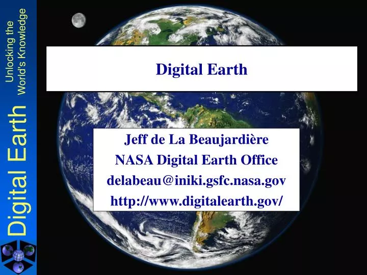
Digital Earth. Jeff de La Beaujardière NASA Digital Earth Office delabeau@iniki.gsfc.nasa.gov http://www.digitalearth.gov/. The Flood of Geospatial Information. NASA has huge volumes of geospatial data 25 years of Landsat 1 TB/day expected from EOS satellites

E N D
Digital Earth Jeff de La Beaujardière NASA Digital Earth Office delabeau@iniki.gsfc.nasa.gov http://www.digitalearth.gov/
The Flood of Geospatial Information • NASA has huge volumes of geospatial data • 25 years of Landsat • 1 TB/day expected from EOS satellites • Other entities also create and use geodata • National/state/local govt, business, academia • Global to local scales, historic to forecast times • Data collected for specific purpose is not easily shared outside information community • Internet age has raised expectations regarding data access How to make georeferenced information more easily available and broadly used?
Illustrative Example List of US Arctic Data Centers: 2 telnet access points 3 mail/phone contacts 6 custom websites to access and/or order 1 custom software installation --- 12 incompatible processes (from Arctic Data Guide, sec. 3.1,http://www.arcus.org/Arctic_Data_Guide/) Jeff de La Beaujardière/NASAArctic GIS Workshop
Digital Earth Goals • Make geospatial information easy to find, navigate and combine • By standardizing some basic operations • Make it easier for content providers to publish geodata & services • By defining a standard framework • Enable user communities to share information • And allow domain-specific "intranets" • Provide both web and high-performance access • And allow access by specialized applications Jeff de La Beaujardière/NASAArctic GIS Workshop
A Possible Solution... Custom Viewer • Complete control • Centralized operational responsibility • Homogeneous collection • Consistent user interface Huge Database Jeff de La Beaujardière/NASAArctic GIS Workshop
A Possible Solution...with Limitations Custom Viewer • Data owners lose control • Maintenance is difficult • Does not scale well • Real collections are heterogeneous • No single interface is good enough Huge Database Jeff de La Beaujardière/NASAArctic GIS Workshop
Catalog Services Open Standards The Digital Earth Solution Web Viewer DesktopGIS Immersive VRHardware CustomAnalysis Software Internet Map Server Gazetteer Processing Service Data Server Conceptual Digital Earth Architecture Jeff de La Beaujardiere NASA
Digital Earth Benefits • Scalable distributed computing platform • Data providers retain ownership and stewardship • Multiple specialized interfaces can be built on shared infrastructure • 3rd-Party Services for conversion or processing can be provided Jeff de La Beaujardière/NASAArctic GIS Workshop
Analogy with the WWW • The World Wide Web comprises • Diverse media: text, graphics, audio, 3D • Independent information providers • Users with general-purpose browsers • or specialized software with web capability • The Web works because of common standards • HTML, HTTP, TCP/IP, MIME • Ease-of-use is enhanced by intermediary services • Search engines, portals, shop-bots Digital Earth will do for georeferenced information what the World Wide Web did for text and multimedia
NSF USGS FGDC FEMA NIMA Army Corps EPA USDA NOAA Library of Congress DARPA Commerce Defense Energy HHS Federal DE Participants • State Dept • DOT • Archives • TVA • Interior • OMB • Justice
DE Partners/Interested Parties • OpenGIS Consortium • ESRI, Oracle, Microsoft TerraServer, Ionic Software, Compusult, Cubewerx, Skyline Software • United Nations Environment Programme (UNEP) • Global Spatial Data Infrastructure (GSDI) • NASDA (Japan space agency) • The GLOBE Program • Digital Library for Earth Science Education (DLESE) • .geo Forum/SRI International • UC Santa Barbara, U Arizona, UN Omaha • American Museum of Natural History, National Air & Space Museum, Science Museum of Minnesota • CBS News, NBC4 TV (DC) • National States Geographic Info. Council, Lancaster Cty PA Jeff de La Beaujardière/NASAArctic GIS Workshop
Digital Earth Standards • Focus on interoperability among clients & servers • Basic philosophy: • Adopt existing Open Standards of relevance • OGC, FGDC, ISO, W3C, IETF, etc. • Do not require Providers to convert their data • offer what you have and let the Client choose • Standards chosen will be listed inDigital Earth Reference Model (DERM) • Starting point: OpenGIS Web Map Server Interface Specification v1.0 Jeff de La Beaujardière/NASAArctic GIS Workshop
Web Map Server Specification • OpenGIS Consortium implementation spec • under consideration as ISO 19128 in TC211 • Two requirements: • Describe your server ("GetCapabilities") • Respond to requests for a map ("GetMap") • Optional: • Provide info about a feature on a map (GetFeatureInfo) WMS 1.0 is a core specification adopted by Digital Earthhttp://www.digitalearth.gov/wmt/ Jeff de La Beaujardière/NASAArctic GIS Workshop
"GetCapabilities" Operation • Allows Web Map Server to describe itself • list of map layers offered • spatial reference system(s) • geographic area(s) covered • output format(s) • Server says what it has;Client can accept or reject • Response: XML document • http://www.digitalearth.gov/wmt/xml/ Jeff de La Beaujardière/NASAArctic GIS Workshop
"GetMap" Operation • A "map" is a picture (PNG, GIF, JPEG, etc.) of a data layer • Specified Width, Height, Bounding Box and Spatial Reference System (SRS) • Not actual data values • Web Mapping Testbed 2 addresses that • Two or more GetMap requests using identical spatial parameters from one or more Map Servers can be directly overlaid Jeff de La Beaujardière/NASAArctic GIS Workshop
Viewer Client: Combined Map Interoperable Web Mapping Server 1: Topography Server 2: Water CatalogService Server 3: Boundaries Jeff de La Beaujardière/NASAArctic GIS Workshop
Web Mapping Testbed phase 2 • Web Map Server enhancements • Time/elevation/other dimensions, legends, ... • Web Coverage Server specification • Gridded fields of georeferenced data • Web Feature Server specification • Vector data (points, lines, polygons) • Geographic Markup Language (XML) • Stateless Catalog services • GeoParsing & GeoCoding/Gazetteer services Jeff de La Beaujardière/NASAArctic GIS Workshop
Video: Digital Earth Workbench Jeff de La Beaujardière/NASAArctic GIS Workshop
Digital Earth Status • Growing collection of Web Map Servers • Active work on next-generation standards • Numerous partnerships initiated • Ongoing series of Community Meetings and Interagency Meetings • Public DE Alpha Version in progress • Opening demo at DE2001 (June 25) Jeff de La Beaujardière/NASAArctic GIS Workshop
Summary • DE defines a framework for distributed storage and standardized access to geodata • DE adopts Open Standards from IT community • Participation and interest are broad-based Jeff de La Beaujardiere delabeau@iniki.gsfc.nasa.gov 301-286-1569 www.digitalearth.gov