Download
1 / 32
320 likes | 325 Views
Stakeholder Meeting April 9, 2019. Manasota Key 10-Yr Beach Management Plan. Outline. Manasota Key Beach Project Update Permit Status & Design Details State Cost-Sharing Status Opinion of Probable Project Cost Schedule Project Implementation Construction Easements Erosion Control Line

E N D
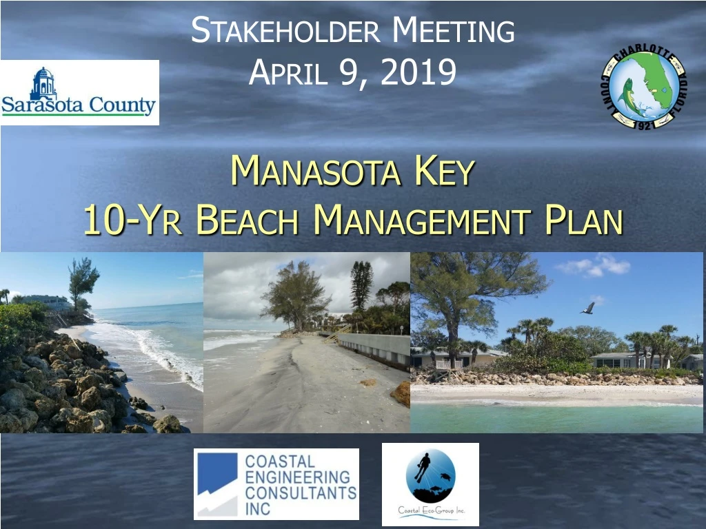
Stakeholder Meeting April 9, 2019 Manasota Key 10-Yr Beach Management Plan
Outline • Manasota Key Beach Project Update • Permit Status & Design Details • State Cost-Sharing Status • Opinion of Probable Project Cost • Schedule • Project Implementation • Construction Easements • Erosion Control Line • Construction Details
Project Area • Sarasota-Charlotte Joint Project (R-175 to R-15.4) • Overlaps With Charlotte’s Existing Erosion Control Project (ECP) from Englewood Beach Park to State Park (R-9 to R-15.4) • Planning Concurrent Construction with South Beach Fill Renourishment on Knight-Don Pedro Island
Permit Status • STATE • Joint Coastal Permit Application Submitted Dec-11 2017 • FDEP Received and Issued First Request for Additional Information (RAI) Jan-24 2018 • RAI # Response Submitted Aug-13 2018 • FDEP Deemed Application Complete Sep 2018 • Status: Negotiating Artificial Reef Acreages (UMAM) & Biological Monitoring Plan • FEDS • USACE Public Notice Issued Aug 2018 • USFWS Biological Opinion Issued Sep 2018 • NMFS Approved UMAM & Bio Mon Plan
Design Details • Beach Fill Template • ~ 4 Miles to be Restored • Design Storm ~ 25-Year Return Interval • 50 ft Wide Design Template • Beach Width Varies (Armoring, Existing Conditions) • Design Volume ~ 879,000 CY • Nearshore Hardbottom Impacts • Over 4 AC will be covered requiring mitigation (Charlotte) • Construct artificial reef using native limestone • Borrow Areas • Identified 3 New Offshore Sand Sources > 2 MCY • Existing Project has 5 Permitted Borrow Areas > 1 MCY
2019 Combined Project Schedule& Path Forward • Present – Spring 2019: Permit Processing • Present – Fall 2019: Coordinate Interlocal Agreement, DEP Contracting • Present – Fall 2019: Seek FEMA Post-Storm Recovery Assistance for Hurricane Irma Impacts ~ 53,000 CY for KI/DPI • Present – Fall 2019: Establish Erosion Control Line, Obtain Construction Easements • April - Nov 2019: Bid & Construct Artificial Reef • June 2019 – May 2020: Bid & Construct Beach Fill
Project ImplementationConstruction Easements • Do I need to sign my Construction Easement? • Only if you want sand • What is the Purpose of the CE? • To allow for the County, Contractor, Engineer, and Monitors to conduct work on private property • What “area” does the CE cover? • Definition Sketch
Project ImplementationErosion Control Line • Must we establish an Erosion Control Line (ECL)? • Yes. Prior to beach erosion control projects in the State of Florida, an ECL must be established along the shoreline to define the property boundary between sovereign submerged land and upland ownership. • What is the ECL? • Record of the Mean High Water Line (MHW) at the time established to legally document and fix the boundary between upland riparian property ownership and submerged lands of the State. MHW survey to be performed within 6 months of construction.
Project ImplementationErosion Control Line • ECL State Policy (FS 161.141) • The Legislature declares that it is the public policy of the state to cause to be fixed and determined, pursuant to beach restoration, beach nourishment, and erosion control projects, the boundary line between sovereignty lands of the state bordering on the Atlantic Ocean, the Gulf of Mexico, or the Straits of Florida, and the bays, lagoons, and other tidal reaches thereof, and the upland properties adjacent thereto…
Erosion Control LineApproval Process • FDEP Bureau of Surveying and Mapping (BSM) approves elevation of MHW (April) • CEC conducts MHW Survey, Create Survey Plats presenting MHW overlain on aerial photos (May-June) • BSM reviews and approves Survey Plats (July-August) • FDEP conducts Public Workshop and Hearing locally (August-September) • Upon ECL approval, FDEP issues County a Resolution formally establishing ECL (September) • County records ECL in County records (October) • Timeline ~ 6 – 7 months
Project ImplementationConstruction Details • Schedule • No Work is allowed on Manasota Key during Sea Turtle Nesting Season. Goal is to start pumping sand after November 1st 2019 and be completed by April 30th 2020. • Construction Sequence • Contractor will be allowed to sequence their construction. County will not dictate start north and proceed south or start in middle and go north then south. • Construction Access & Staging • Contractor will be allowed to utilize a portion of County Beach Park. Pipe and equipment will be brought to beach through existing access on north end of County property.
Construction DetailsPipeline Corridor & Landing • Due presence of hardbottom, only one corridor has been identified. Not To Scale
Construction DetailsWhat to Expect • When the pipeline first makes landing at the beach, the Contractor will pump sand to build a pad of sand. Once the pad is created the contractor will add pipe sections and progress along the beach using the grading equipment to shape the beach. The bulldozers, grading equipment and movable office will move with the beach fill advance. The active construction typically takes a few days to complete sand placement for 200 feet of beach. However the pipeline remains in place through the end of pumping. Then the contractor has to final grade and till the beach.
Sarasota County North SegmentPrior Work • Field Work and Coastal Processes Assessment • Beach Profiles & Nearshore Hardbottom (HB) Mapping • Shoreline and Volume Change Analyses • -1.8 Ft/Yr (Avg) / -8.1 Ft/Yr (Max) • -18,520 CY/Yr Erosion Rate for Dry Beach & Nearshore • Beach Fill Design Alternatives • Apply Beach Fill Design Template from Charlotte • Opt 1: R-170 South, 660K CY, >12 AC HB Impact • Opt 2: R-175 South, 309K CY, No HB Impact • Proceed with Option 2 with Combined Project
Existing Conditions Plan 7250 Manasota Key Road
Sarasota County North SegmentCurrent Scope of Work • North Segment Beach Fill Design • R-170 to R-175 (1.1 Miles) [Taper to ~ R169] • Detailed Cross-Shore Model Study & Equilibrium Profile Analysis • Examined Multiple Templates to Avoid / Minimize Impacts to HB & Provide Some Level of Storm Damage Reduction Benefits • Upland Sand Source Approach • Import Coarse Grain Sand • Construct Independently of South Segment
50-ft Beach Fill Design Option • Design Features • 50-ft Wide Berm • 114,150 CY • Grain Size=0.50 mm • HB Impacts = 3.7 AC
30-ft Beach Fill Design Option: • Design Features • 30-ft Wide Berm • 68,020 CY • Grain Size=0.50 mm • HB Impact = 3.3 AC
20-ft Beach Fill Design Option: • Design Features • 20-ft Wide Berm • 47,450 CY • Grain Size=0.50 mm • HB Impact = 1.5 AC
Preliminary Opinion of Probable Construction Cost (2019 $$) 50-ft Wide Berm 30-ft Wide Berm
Preliminary Opinion of Probable Construction Cost (2019 $$) 20-ft Wide Berm North Segment Fill Design Summary Summary
Truck Haul Project Path Forward • Pre-Application Meetings with Agencies • Preliminary Design • JCP Permit Application • Process Regulatory Permits / Modifications • Apply for State Funding / Cost Sharing • Final Design and Bid Process • Construction