Download
1 / 17
170 likes | 271 Views
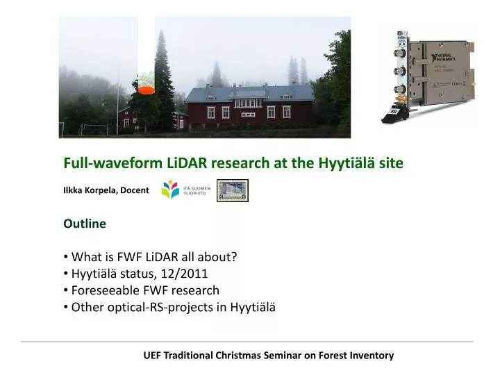
Full-waveform LiDAR research at the Hyytiälä site Ilkka Korpela, Docent. Outline What is FWF LiDAR all about? Hyytiälä status, 12/2011 Foreseeable FWF research Other optical-RS-projects in Hyytiälä. UEF Traditional Christmas Seminar on Forest Inventory .

E N D
Full-waveform LiDAR research at the Hyytiälä site Ilkka Korpela, Docent • Outline • What is FWF LiDAR all about? • Hyytiälä status, 12/2011 • Foreseeable FWF research • Other optical-RS-projects in Hyytiälä UEF Traditional Christmas Seminar on Forest Inventory
What is FWF LiDAR all about? Camera 2 Free photons LiDARTime-stamped photons Camera 1 Camera 3 Target
What is FWF LiDAR all about? PTX Divergence, e.g. 1/e2 Illuminated area Time t0 TX: Pulse, 4 10 ns (1.2 3 m), e.g. 1064 nm (NIR), 0.15 1 mrad (15 100 cm/km) RX: Optics & Photondetector & Amplifier & ”Fast correlator” System: Time, Position, Attitude of equipment & mirror [X, Y, Z](t) + etL× R(rX, rY, rZ)(t) × [sin(L)cos(L), sin(L)sin(L),cos(L)] Ilkka Korpela
What is FWF LiDAR all about? Transmitted pulse (t) Sum wave thru the receiver optics (t) Sum-wave: front, maxima, back edge. Unambiguous distance? Inherent noise ”smuggles” Ilkka Korpela
What is FWF LiDAR all about? Volumetric backscatter Ptarget [W/m2] Ptransmitted illumination LossesAtmosphere, canopy Preceived f (Ptarget, Silhouette area, Reflectance, LossesAtmosphere, Optics) Ilkka Korpela
”Illumination” Maximum amplitude Distance perpendicular to power line, m
H < 1 m ”Reflectance”
”Structure” Ilkka Korpela
Reflectance ~ PBackscatter/Pillumination 1. EchoPerforated Lambertia surface, LOSSES 2. Echo Ilkka Korpela
First interaction (echo) has most information (intensity/amplitude),the subsequent data is inherently contaminated by losses. What can we do with the rest of the waveform?
Hyytiälä Status 12/2011 • Hyytiälä experimenthttp://www.helsinki.fi/~korpela/HYDE_REF/ • Pseudosystematic field plot measurements since 1996, last 2011 (student work in future?). • ’Optimized’ for tree-level analyses • 25000+ trees & 125+ plots to be ’LiDAR-updated’ 2/11-1/12 • LiDAR data sets • 2004, 1 km, 1-3 p/m2 (DR) Optech • 2006, 1 km, 6-8 p/m2 (DR) Optech • 2007, 1 km, 6-9 p/m2 (DR) Leica • 2008, 1,2,3,4 km 0.2-1.5 p/m2 (DR) Leica • 2010, 1,2,3 km, 1-8 p/m2 (DR + FWF) Leica • 2011a, 1, 1.5, 2 km, 1-8 p/m2 (DR + FWF) Leica • 2011b, 750 m, 8 p/m2, (DR+FWF), leaf-off, Riegl 2011 density map 10 x 15 km
Foreseeable FWF research (Hyytiälä) • Seedling stand vegetation & DEM –analyses • Tree species classification using FWF features (radiometric & new geometric) • Descriptive study on pulse-target interactions (interpretation of field photos) • LAI & stuff (Lauri) What else could be studied with the experiment? • Change detection (2004-2011) • Peatlands (Lakkasuo 2006 + 2011 LiDAR) • Old forests (Susimäki 2011, Kuivajärvi old growth) • Leaf-off vs. Leaf-on (+ sensor effects) • Gain of FWF in area-based inventory? (1-3 km LiDAR)
Other (optical) RS projects in Hyytiälä • VHR satellite imagery exists (check with Miina Rautiainen et al. (UH), Tuomas Häme VTT) • Airborne Hyperspectral was acquired 2011 (Paras Pant -presentation) • Radar?
Future of Hyytiälä experiment • 2012: airborne imaging campaigns for BRDF research (Can BRDF of the atmosphere be eliminated using normalization of at-sensor radiance images, in one image block?) Links to presentation by Anne Seppänen. • Multidivergent LiDAR acquisitions: what can be gained thru 20, 60 and 120 cm footprint data (structure & species) • Collaboration/teamwork is always welcome (share the workload in forest, invoices of RS campaigns, data analyses and writing).
Airborne imaging campaigns for BRDF research Refl. KRÅNGLIGT ”BRDF” or reflectance anisotropy varies between pine, spruce and birch (λ) No studies exist that utilize this, Seppänen et al. (UEF + UH), tries it! Reflectance calibration seems to be the bottleneck, and within sp- variation.
Thanks! Ilkka Korpela