Download
1 / 11
110 likes | 214 Views
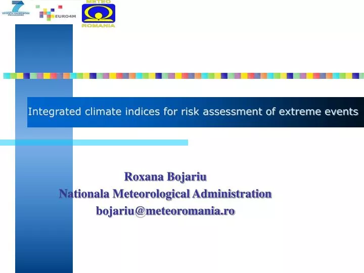
Integrated climate indices for risk assessment of extreme events. Roxana Bojariu Nationala Meteorological Administration bojariu@meteoromania.ro. Outline. Risk assessment Heat waves in urban area Hail risk case Follow up. Risk assessment. Natural hazard assessment and mapping

E N D
Integrated climate indices for risk assessment of extreme events Roxana Bojariu Nationala Meteorological Administration bojariu@meteoromania.ro
Outline • Risk assessment • Heat waves in urban area • Hail risk case • Follow up
Risk assessment • Natural hazard assessment and mapping • Impact assesment and mapping • Combining (1) and (2) to get the risk assessment and mapping
Meteo Location of Arad and its districts
Observed heat waves at Arad meteorological station station Number of consecutive days with Tmax >=35 C and Tmax >= 37 C
Urban heat island case –natural hazard mapping • Urban heat island intensity in summer derived using daytime and nighttime LST averaged over summers of 2002-2010 from Aqua MODIS product with 1km resolution.
Urban heat island case – impact mapping • Daytime abd nighttime impact maps derived using the number of paramedic interventions per districts in the summers 2009-2012. (Data from Inspectorate for Emergency Situations Vasile Goldis, Arad, Romania.
Urban heat island case – an example of risk mapping • SEERISK project risk mapping for disaster management community – no new science development but the framework to transfer of science to disaster management community. A risk map is now developed on qualitative base; our scientific aim is to develop a quantitative base for risk assessment of heat waves in urban areas.
Further steps for a quantitative assessment of heat wave risks in urban areas Daytime LST and Tair for location of meteorological station in Arad
The use of climate information in hail related risks Hail related requests for insurance Frequencies of episodes with radar reflectivity greater than a threshold at Titu location.
Follow up • quantitative assessments of natural hazards related to climate variability and change; • best quantitative coupling with impact data to quantitatively assess the risks.