Download
1 / 27
270 likes | 279 Views
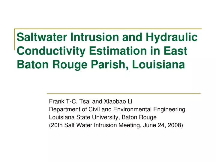
Saltwater Intrusion and Hydraulic Conductivity Estimation in East Baton Rouge Parish, Louisiana. Frank T-C. Tsai and Xiaobao Li Department of Civil and Environmental Engineering Louisiana State University, Baton Rouge (20th Salt Water Intrusion Meeting, June 24, 2008). Outline.

E N D
Saltwater Intrusion and Hydraulic Conductivity Estimation in East Baton Rouge Parish, Louisiana Frank T-C. Tsai and Xiaobao Li Department of Civil and Environmental Engineering Louisiana State University, Baton Rouge (20th Salt Water Intrusion Meeting, June 24, 2008)
Outline • Background and motivation • Groundwater model development • Hydraulic conductivity estimation • Generalized parameterization (GP) • Bayesian model averaging (BMA) • Groundwater model calibration and prediction results • Intrusion simulation/prediction for 90 years. • Closing remarks
Project benefits from… • USGS Louisiana Water Science Center at Baton Rouge • Louisiana Capital Area Ground Water Conservation Commission (CAGWCC) • Louisiana Department of Transportation and Development (DOTD), Water Resources Programs • Louisiana Geological Survey
B A T O N R O U G E F A U L T ( A p p Z r o x O i N E m a t e s o u t h e r n l i m i t o f a q u i f e r s y s t e m ) 0 50 MILES 0 50 KILOMETERS Southern Hills aquifer system
Source of saltwater: salt domes Salt dome R. Brent Bray and Jeffrey S. Hanor(1990)
Saltwater intrusion in ‘1500-foot’ sand in Baton Rouge Freshwater Saltwater water.usgs.gov/wid/html/la.html
Groundwater model development • Data • Groundwater production rates (CAGWCC, DOTD) • Groundwater head data (USGS) • Electrical resistivity log data (USGS, LGS) • USGS/DOTD reports and CAGWCC Newsletters • Model components • Modeling area and grid size (200 m by 200 m) • Boundary conditions • Initial condition (01/1990) • Aquifer parameters (aquifer thickness, specific storage, hydraulic conductivity, and BR fault permeability) • Sinks and sources (pumping wells and connector well) • Solver (MODFLOW-2000, Harbaugh et al., 2000)
Box (1976) “All models are wrong, some are useful. “All models are wrong, some are useful with careful calibration.”
Challenges in traditional hydraulic conductivity estimation (inverse problem) • Traditional parameterization methods are not flexible. • Non-kriging interpolation methods are not applicable to spatially correlated K fields • Non-uniqueness of parameterization is not considered in the inverse problem. • Model structure uncertainty.
Bayesian model averaging (BMA) with generalized parameterization (GP) • GP integrates zonation and interpolation methods under a geostatistical framework (Tsai 2006 WRR). • BMA takes into account multiple GP methods (Tsai and Li, 2008 WRR; Tsai and Li 2008 GW). • BMA integrates multiple GP methods and multiple simulation models.
Data weighting coefficient GP Conditional estimator: (p=lnK) Conditional covariance: BMA Law of total probability: Law of total expectation: Model weight Law of total variance: Within-model variance Between-model variance
K estimation and head predictions through GP and BMA Maximum likelihood estimation to estimate b values in GP: Predictions: MODFLOW (2D) MT3D (2D) K estimation in MODFLOW (2D) Trans. parameters estimation in MT3D (2D) SEAWAT (3D)
Identification Results BMA GP Interpolation
E-log data Archie’s law porosity 7 Grain size-based methods 7 K values 7 GP methods (OK+Voronoi) Seven (7) parameterization methods
Three (3) model structures: (2) Impermeable-fault model (HC=0/day) • Low-permeable-fault • model (HC=0.000155/day) (3) No-fault model (no HC) Model output observation Groundwater head at 1/1/2005
Results – model weights and method weights Low-permeable-fault model Impermeable-fault model No-fault model
Results – model outputs vs. observations There are significant differences between these methods Time step (day) Head(m) Seven methods under low-permeable-fault model head output at observation well EB-168
Hydraulic conductivity distributions using Multi-GP and BMA BMA NN-VT Within-GP Between-GP BMA OK-VT ID-VT
-15m -30m Ground Water Heads Prediction -15m Spring2001 -30m Jan. 01, 2020
Within-method head variance Between-method head variance Between-model head variance Total head variance
Saltwater intrusion simulation (1990-2080) MT3D (Zheng and Wang, 1999)
Closing remarks • Parameter estimation and model predictions need to consider non-uniqueness of parameterization and model structure uncertainty • Generalized parameterization (GP) provides a flexible way for parameterizing spatially correlated parameters. • Bayesian model averaging (BMA) provides a statistically rigorous approach to integrate multiple models. It can be used for parameter estimation, model prediction, and model application. • Using GP and BMA obtains better hydraulic conductivity estimation and avoids over-confidence in the results using one method and one model.
Acknowledgements • This research was supported in part by • Department of the Interior, USGS&NIWR (05HQGR0142) • Louisiana Water Resources Research Institute (06HQGR0088) • Louisiana Board of Regents (LEQSF(2005-08)-RD-A-12)