Download
1 / 20
200 likes | 391 Views
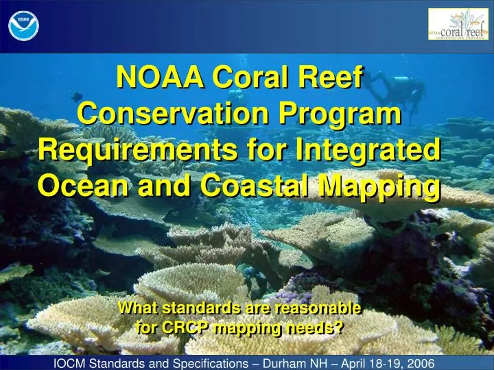
NOAA Coral Reef Conservation Program Requirements for Integrated Ocean and Coastal Mapping. What standards are reasonable for CRCP mapping needs?. IOCM Standards and Specifications – Durham NH – April 18-19, 2006.

E N D
NOAA Coral Reef Conservation Program Requirements for Integrated Ocean and Coastal Mapping What standards are reasonable for CRCP mapping needs? IOCM Standards and Specifications – Durham NH – April 18-19, 2006
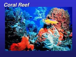
Produce comprehensive digital maps of all shallow (<30m) coral reef ecosystems in the United States and characterize priority moderate-depth reef systems by 2009. U.S. Coral Reef Task Force Goal
Shallow Water Mapping Aerial and satellite data being used for mapping in shallow areas. In most areas NOAA uses IKONOS imagery to produce shallow-water (< 30m) benthic habitat maps. IKONOS Image of Midway Island Habitat Classification Manual Interpretation Estimated Depths (Stumpf & Holderied) Data available on web at: http://ccma.nos.noaa.gov/rsd/reefs.html
U.S. Pacific Islands: Vast and Remote * Tide Gauges * (18) * * * * * * Wake Island * (24) (6) * Monitoring & Mapping ~55 Island/Atoll Ecosystems
Pacific Moderate Depth Mapping NWHI (2002/KM) 38,367 km2 NWHI (2003-2005) 1,997 km2 MHI (2005) 1,126 km2 CNMI/Guam (2003) 244 km2 Am. Samoa (2004-2006) 1,385 km2 PRIAs(2006)3,793 km2 Total 46,912 km2 (13,677 nm2) N. Shore Molokai R/V AHI NOAA Ship Hi’ialakai 300 kHz EM3002D 150 m range 300-500 beams 30 kHz EM300 5000 m range 135 beams 240 kHz Reson 8101ER 250 m range 101 beams
Charting Needs in Pacific Islands All other areas in NWHI, American Samoa, CNMI, Guam and the Pacific Remote Island Areas (PRIAs) are Priority 2 or lower. There are only a few critical areas for charting in the main Hawaiian Islands. HOWEVER, there are No Soundings on Some Charts Significant Chart Offsets – 2 km
Johnston 992 km2 HI0601 Tutuila 588 km2 HI0602 Kingman 926 km2 HI0604 Rose 269 km2 HI0602 Jarvis 316 km2 HI0604 Swain’s 256 km2 HI0602 Howland 221 km2 HI0601 Baker 256 km2 HI0601 Palmyra 1082 km2 HI0604
US Caribbean Mapping St. John and St. Thomas, USVI La Parguera, Puerto Rico St. Croix, USVI NOAA Chart 25640, scale 1:326,856.
Caribbean Multibeam Mapping Activities • 2005 and 2006 IHO Order values are estimations, as final processing and QA/QC are in progress. • Final results may vary from these goals.
Issues: ‘Strumming’/vibration in temporary pole-mount (2004) Error measurements • initial offset (in)accuracy • Importance of a good patch test Line spacing/Use of outer beam data Coordination with Partners -i.e. advance notice to COOPS for tide request How to share responsibility and expertise for project planning, data acquisition and processing, product generation, documentation • Funding, personnel, time Balancing different operational needs (i.e. ROV versus multibeam) at sea and prioritization of divergent project areas
French Frigate Shoals, NWHI, Bank top bathymetry 2 m grid cell size Fledermaus Image (next slide)
What are we looking for? Fledermaus Image 10 m coral pinnacles 0.5 m sand waves 0.1-0.2 m roughness Complex morphology at edge of bank 2-m grid of coral-rich bank top in 20-45 m water depths – French Frigate Shoals, NWHI
Kongsberg EM3002d 300 kHz backscatter
R/V AHI Reson 8101 240-kHz backscatter
complexity multibeam bathymetry 5x slope multibeam backscatter
Benthic Habitat Mapping IKONOS Imagery Multibeam Surveys Optical Groundtruthing – ROV, TOAD, LLS Optical Groundtruthing Towed Diver Surveys
Products for Management Needs Saipan Anchorage Video Tracklines Predicted Sand/Coral Cover Scientists, managers, and stakeholders work together to prioritize production of seafloor characterization and benthic habitat maps. It is not realistic or necessary to create these labor intensive products over 1000’s of km2 of area.
Impacts of Standards on Mapping Costs and Efficiency
OCS participated in 2002 Kilo Moana survey in NWHI OCS and NMAO did installation and original certification of Hi’ialakai and Nancy Foster mapping systems. CRCP and OCS collaboration on re-calibration and re-certification of Hi’ialakai and AHI mapping systems now underway – collaborative yearly updates? Portions of USVI survey in 2005 & 2006 were conducted to IHO standards with documentation. Joint CRCP/OCS charting surveys for harbors in Saipan, Tinian, & Rota, CNMI, are planned for early 2007 using AHI. Harbor Survey Commercial & Navy Anchorage Map to IHO Standards in Priority Areas USVI Saipan, CNMI
NOAA Coral Reef Conservation Program David.Kennedy@noaa.govKara.Meckley@noaa.govhttp://www.coralreef.noaa.gov Center for Coastal Monitoring & Assessment Mark.Monaco@noaa.govTim.Battista@noaa.govhttp://ccma.nos.noaa.gov/ecosystems/coralreef/ Pacific Islands Fisheries Science Ctr. CRED Rusty.Brainard@noaa.govJoyce.Miller@noaa.govhttp://pifsc.noaa.gov/credhttp://soest.hawaii.edu/pibhmc For Information