Download
1 / 10
100 likes | 188 Views
Critical Environmental Areas Under SEQR. What Do They Mean? How Are They Created?. What’s the Point of a CEA?. Impacts must be assessed by lead agency in reaching determination of significance 6 NYCRR 617.7(c)(1)

E N D
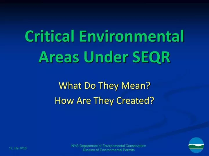
Critical Environmental Areas Under SEQR What Do They Mean? How Are They Created? NYS Department of Environmental Conservation Division of Environmental Permits
What’s the Point of a CEA? • Impacts must be assessed by lead agency in reaching determination of significance • 6 NYCRR 617.7(c)(1) • “(iii) the impairment of the environmental characteristics of a Critical Environmental Area as designated pursuant to subdivision 617.14(g) of this Part;” • Does not automatically result in classification as Type 1 • Change as of 1996 revisions to SEQR regulations
Criteria for a CEA • Explicit in regulations, 6 NYCRR 617.14(g)(1): • … an area must have an exceptional or unique character covering one or more of the following: • (i) a benefit or threat to human health; • (ii) a natural setting (e.g., fish and wildlife habitat, forest and vegetation, open space and areas of important aesthetic or scenic quality); • (iii) agricultural, social, cultural, historic, archaeological, recreational, or educational values; or • (iv) an inherent ecological, geological or hydrological sensitivity to change that may be adversely affected by any change.
Examples of Existing CEAs • All listed on DEC’s SEQR Web pages • http://www.dec.ny.gov/permits/6184.html • Catalogued by county • Benefit or threat to human health • Hazardous waste sites • Dutchess County • Watersheds, aquifer recharge, or wellfields • Most common basis for existing designations • Broome & Cortland Co. / multiple towns
More Examples of CEAs • A natural setting • Wetlands • Also a frequent basis for designation • Dutchess and Putnam Counties / Great Swamp • Agricultural, social, cultural, historic, archaeological, recreational, or educational values • Large blocks of mature forest • St. Lawrence Co. / Colton • Agricultural districts • Washington Co. / Easton
(Still) More Examples of CEAs • An inherent ecological, geological or hydrological sensitivity to change that may be adversely affected by any change • Karst areas • Schoharie Co. / Wright • Steep slope, exposed ridge and wetlands complex • Dutchess Co. / Pine Plains • Highly diverse biological community • Tompkins Co. / Ithaca
Mechanics of Creating a CEA • Regulations also explicit on how to designate • Must be designated by a local or state agency • Local agency must have authority over the land area • Typically the legislative body • E.g., town board, board of supervisors or legislators • State agency must be responsible for specific area • E.g., Lake George Park Commission • Notice and filing requirements in 617.14(g) • Must articulate reasons for designating • Must include a map clearly designating boundaries
Some Practical Notes • Clearly explain resources and values to be protected, or hazards to be avoided: • Water quality or quantity? • Habitat? • Historic or cultural resources? • Offsite migration of known pollutants? • Mapping should then include those resources within a readily-communicated, replicable unit
More on the Maps • Clear map enables project sponsors and reviewing agencies to clearly identify the entire CEA • Essential to know IF a project area is in, or includes, a CEA to then be able to analyze potential impacts • Ideal is now a GIS file • Also good are conventional bases like USGS topographic maps • Less desirable are metes-and-bounds • Worst is whole municipality plus narrative
For More Information: • SEQR Regulations • http://www.dec.ny.gov/regs/4490.html • General SEQR information • http://www.dec.ny.gov/permits/357.html • SEQR Handbook • http://www.dec.ny.gov/permits/6188.html • (Chapter 2C = CEAs) • NYS DEC Division of Environmental Permits • 518-402-9167 in Albany • Regional listings through http://www.dec.ny.gov/about/50230.html