Download
1 / 6
60 likes | 62 Views
Experience with mapping of MRC-Slovakia. Juraj Kuruc. Overview . Originally intended as a tool for government bodies in evaluating and understanding the extent and depth of issues not to count shacks or gain census data about roma population Set of statistical data not a visual map.

E N D
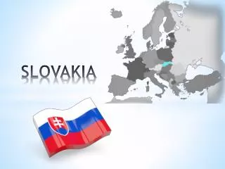
Experience with mapping of MRC-Slovakia Juraj Kuruc
Overview • Originally intended as a tool for government bodies in evaluating and understanding the extent and depth of issues not to count shacks or gain census data about roma population • Set of statistical data not a visual map
Methodolgy Before 2003: absence of systematically collected and analysed data 2004: First complex survey. • Phone and personal on-site visits • over 170 indicators in the original questionnaire! • Consisted of 2 sets of questions, one evaluating the municipality as a whole, separate sections for roma community or communities • publicised 2009: • Streamlined data collecting process • Set of indicators narrowed • Not public
Results I. • Not aimed to be a census of individuals, rather communities as a whole, to show how they live and localities • Encountered issues with definitions of basic terms /hovel, segregated vs. separated settlements, who is or is not a Roma • General rule the further away from the urban centre the greater the marginalisation • Arose the need to distinguish spatial and social segregation, NOT always overlapping • The need for regular updates
Results II. • Data on legal vs illegal settlements • Ability to gauge the extent of problem in real numbers • Better understanding of the issues involved e.g. illegal because a) the land titles under the building are missing b) no planning permission sought or granted c) nationalised land to be given back to original owners d) inheritance proceedings
Conclusion • Constant work in progress • Intention to standardize and keep a regular data collecting system • Valuable tool in assessing the change of situation, e.g. Sveržov