Download
1 / 1
10 likes | 130 Views
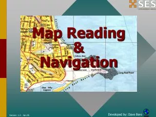
Vocabulary Slope, gradient, and direction of stream flow. A topographic map shows surface and human features. Features in a topographic map include depression, hill/mountain, steep slope, gradual slope valley, stream, building, etc.

E N D
Vocabulary Slope, gradient, and direction of stream flow. A topographic map shows surface and human features. Features in a topographic map include depression, hill/mountain, steep slope, gradual slope valley, stream, building, etc. Topographic maps represent landforms through the use of contour lines that are isolines connecting points of equal elevation. Gradients and profiles can be determined from changes in elevation over a given distance. Essential Question: How do topographic maps use contour lines to show features of an area?