Download
1 / 16
160 likes | 298 Views
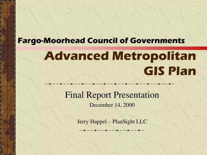
Advanced Metropolitan GIS Plan. Fargo-Moorhead Council of Governments. Final Report Presentation December 14, 2000 Jerry Happel – PlanSight LLC. What is a Regional GIS. Each jurisdiction is creating and maintaining similar types of GIS Data and uses GIS for many of the same purposes.

E N D
Advanced Metropolitan GIS Plan Fargo-Moorhead Council of Governments Final Report Presentation December 14, 2000 Jerry Happel – PlanSight LLC
What is a Regional GIS • Each jurisdiction is creating and maintaining similar types of GIS Data and uses GIS for many of the same purposes. • Regional GIS would combine this data into a seamless region-wide database. • Include simple software tools to access, view, and analyze regional data. • Regional data and tools shared among all participating jurisdictions. F-M COG - Advanced Metropolitan GIS Plan - PlanSight LLC - 12/14/2000
Why Regional GIS? • Public wants and needs information. • GIS can provide seamless public access to critical regional information. • Staff need better access to local and regional data. • Cooperation among jurisdictions reduces redundancy and costs. • Critical data to meet the needs of F-M COG • Provides framework for cooperative GIS data and application development. F-M COG - Advanced Metropolitan GIS Plan - PlanSight LLC - 12/14/2000
Advanced GIS Plan • Plan for the Coordinated Development of a Regional GIS • Based on Shared Goals & Common Needs • The Next Step in the Region’s Ongoing Collaborative GIS Efforts • Key Participants: Cass County Clay County City of Fargo City of Moorhead City of West Fargo City of Dilworth F-M COG And More… F-M COG - Advanced Metropolitan GIS Plan - PlanSight LLC - 12/14/2000
Advanced GIS Plan Focus • Reviews the state of GIS within each jurisdiction. • Identifies goals within each jurisdiction and determines where there are common, shared goals. • Overviews the costs and tasks associated with the development of a regional GIS. • Reviews similar regional GIS programs already underway in other areas of the country. • Provides several options for the development of a regional GIS in the F-M COG area. • Provides an overview of several major GIS issues related to the development of a regional GIS. F-M COG - Advanced Metropolitan GIS Plan - PlanSight LLC - 12/14/2000
Jurisdictional Overviews • Review the current level of GIS use within each jurisdiction • Discuss the various uses of GIS for each jurisdiction • Outline potential goals for GIS usage in each jurisdiction • Gather information on departmental and jurisdictional data F-M COG - Advanced Metropolitan GIS Plan - PlanSight LLC - 12/14/2000
Common Issues • GIS Data Format & Consistency • Lack of GIS Data • Qualified Staff • GIS is Difficult to Use • Funding • Need for a Coordinated Approach F-M COG - Advanced Metropolitan GIS Plan - PlanSight LLC - 12/14/2000
Shared Regional GIS Goals • Create and Format Critical Data • Parcel • Land Use • Flood Plain • Routing • Staff/Public access to GIS data via the internet/intranet • Access to User Friendly GIS Applications • Implementation of GIS in a timely fashion • Access to other jurisdictional data F-M COG - Advanced Metropolitan GIS Plan - PlanSight LLC - 12/14/2000
Regional GIS Management • Hardware • Software • Data Conversion • Data Creation & Maintenance (automation) • Metadata/Data Dictionary • GIS Coordinators & Users Handbooks • GIS Awareness Program • Training • GIS Vendor Evaluation Procedures F-M COG - Advanced Metropolitan GIS Plan - PlanSight LLC - 12/14/2000
Regional GIS Structure Options • Identified five viable options for the development of a regional GIS: • Status Quo • County Centric -Regional GIS Coordination • F-M COG Centric -Regional GIS Coordination • F-M COG-County Partnership • Consultant-oriented Regional GIS Coordination F-M COG - Advanced Metropolitan GIS Plan - PlanSight LLC - 12/14/2000
F-M COG/County Partnership • The GIS Steering Committee approved option 4) F-M COG/County Regional GIS Partnership • F-M COG and Counties share the regional database and application development load. • No group dominates regional GIS activities. • Participants have higher level of control of datasets that are most critical for internal business needs • High level of cooperation and coordination required between all participants • Phase II – Implementation Plan to use this model. • Future studies to determine best long-term approach for maintaining a Regional GIS. F-M COG - Advanced Metropolitan GIS Plan - PlanSight LLC - 12/14/2000
Outcomes of Regional GIS • Integrated GIS Databases • Improved data sharing and data standards • Metropolitan wide internet access to GIS data • Joint development of user friendly GIS data access and analysis tools • Plan with cost estimates to implement public access program F-M COG - Advanced Metropolitan GIS Plan - PlanSight LLC - 12/14/2000
Costs F-M COG - Advanced Metropolitan GIS Plan - PlanSight LLC - 12/14/2000
Costs(continued) • F-M COG/County Partnership Estimated Costs F-M COG - Advanced Metropolitan GIS Plan - PlanSight LLC - 12/14/2000
Next Steps • Approval of the Advanced Metropolitan GIS Plan (conclusion of Phase I) • Phase II • Implementation Plan • Data Translation Tables • Phase III • Regional GIS Implementation F-M COG - Advanced Metropolitan GIS Plan - PlanSight LLC - 12/14/2000
Conclusion • The Advanced Metropolitan GIS Plan builds on the success of previous GIS efforts in the region. • Focuses on collaborative efforts to meet common, regional needs. • Enables jurisdictions to jointly do more for less. • Addresses the GIS needs of F-M COG. • Outlines the logical next steps in the progression of GIS in the region. F-M COG - Advanced Metropolitan GIS Plan - PlanSight LLC - 12/14/2000