Download
1 / 18
180 likes | 182 Views
Learn about the different GPS receivers available for mapping and navigation purposes. Understand the required accuracy and processes involved in mapping and navigating. Get examples of recommended receivers.

E N D
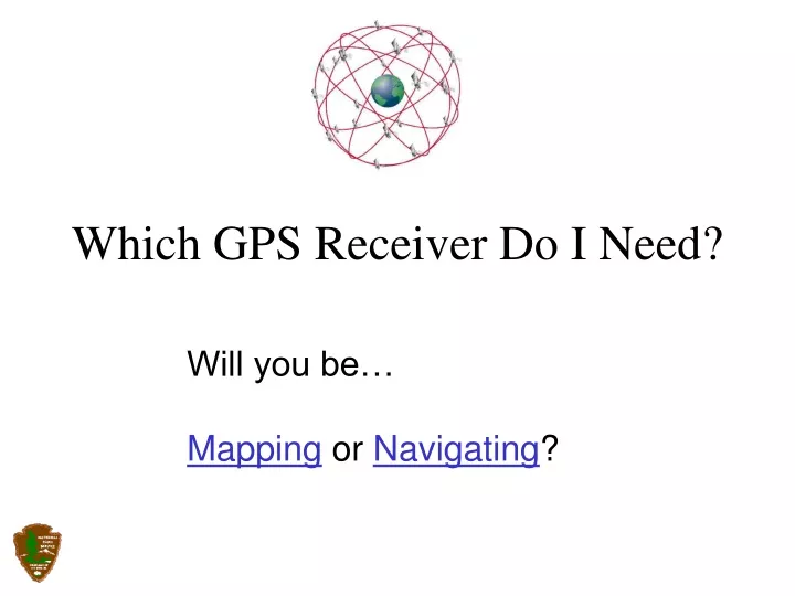
Which GPS Receiver Do I Need? Will you be… Mapping or Navigating?
“Mapping” is any activity or process thatproduces a graphical representation of a ground feature by means of a point, line or polygon. While mapping you may need to produce attributedata concerning the features that you are mapping. One resulting product from a mapping project is a GIS data layer or theme. If you would like to learn more about attribute featuredata collection choose the “Mapping Features” buttonbelow, otherwise pick the “Continue” button. Continue MappingFeatures
Mapping RequiredAccuracy: Sub-meter 1 – 5 m. 5 – 25 m. Post-Processed Differential Post-Processed Differential Real-Time Differential Autonomous Process: NDGPS WAAS Home
Navigation RequiredAccuracy: 1 – 5 m. 5 – 25 m. Real-Time Differential Autonomous Process: NDGPS WAAS Home
Post-Processed Differential Corrections Download and Post-Process the GPS Data Collect GPS Data • 1 – 5 meter accuracy • Sub-meter if you collect and process carrier-phase data Back Back toMapping More Information
Autonomous Receiver Operations 5 – 25 meters Back Back toMapping Back toNavigating MoreInformation
Real-time Differential Corrections 1 – 5 meters 1 – 5 meters NDGPS WAAS Back Back toMapping Back toNavigating MoreInformation
Post-Processed Differential Corrections Examples of Receivers: • Trimble XR and XRS Series (~ $10,000) • Trimble GeoExplorer CE XT (~ $6,000) • Garmin Receiver with Rhino™ Data Collection andPost-processing Software (~$1500) Back Back toMapping Back toNavigating
Autonomous Receiver Operations Examples of Receivers: • Trimble XR and XRS Series (~ $10,000) • Trimble GeoExplorer CE XT (~ $6,000) • CSI MiniMax (~ $2500) • Garmins (~ $100 - $1000) • Magellans (~ $100 - $3000) Back Back toMapping Back toNavigating
Real-time Differential Corrections Examples of Receivers: • Trimble XR and XRS Series (~ $10,000) • Trimble GeoExplorer CE XT (~ $6,000) • CSI MiniMax (~ $2500) • Garmins (~ $200 - $1500) • Magellans (~ $200 - $3000) Back Back toMapping Back toNavigating
Sub-meter Considerations: • Expensive • 10 minute (or more) approximate occupation time • Used primarily for point positioning Back
1 –5 Meter Accuracy Considerations: • Post-processed option is more expensive than real-time • Real-time may not be available or practical for operations Back
Autonomous ( 6 –25 m.) Considerations: • Can be very inexpensive • Will not meet most requirements for mapping Back
Nationwide Differential GPS ServiceConsiderations: • More expensive than WAAS since an additional receiver is required • Is usually (but not always) slightly more accurate than WAAS • Is not line-of-sight. It can be used in the trees andin terrain that WAAS cannot Coast Guard NDGPS Website: http://www.navcen.uscg.gov/dgps/Default.htm Back MoreInformation
Wide Area Augmentation SystemConsiderations: • Less expensive than NDGPS because no additionalreceiver is needed. GPS receiver must be WAAS enabled • No wires • Limited to line of sight operations to geo-stationarysatellite parked over equator • Unreliable in many field operating environments • Usually less accurate than NDGPS Department of Transportation WAAS Website:http://gps.faa.gov/programs/waas/howitworks.htm Back MoreInformation
Mapping Features: There are basically two options for collecting attributesin the field: • Trimble equipment with TerraSync or ArcPAD • Data collection software such as ESRI’s ArcPAD on a PDA plugged into any GPS receiver. Each has advantages and disadvantages. Pick the “More Information” button for additional info. Back Back toMapping MoreInformation
GeoExplorer XT Trimble XR More Information at Trimble’s website: http://www.trimble.com • Trimble Equipment: • GeoExplorer XT is relatively small and self-contained • Trimble XR and XRS are highly accurate and reliable • Pathfinder Office Software is powerful and feature packed • Expensive ($6000 - $10,000) • Note: If you use ArcPAD and want to do post-processed differentialcorrections then you must buy “GPS Correct” software (~$500) from Trimble. Back Back toMapping MoreInformation
PDA with Data Collection Software: • Flexible solution • Wide range of related costs ($250 - $6000) depends onselected hardware and software • Can be very powerful and feature packed ERSI’s ArcPAD Back Back toMapping