Download
1 / 19
190 likes | 297 Views
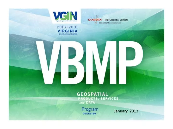
January, 2013. Seminar Agenda. Welcome & Introductions Program history 2013 VBMP details Base offerings / Pricing How to order from VGIN & Sanborn Contact information Questions?. VBMP Program History – 2002 - Present.

E N D
Seminar Agenda • Welcome & Introductions • Program history • 2013 VBMP details • Base offerings / Pricing • How to order from VGIN & Sanborn • Contact information • Questions?
VBMP Program History – 2002 - Present • January 29, 2002 - Commonwealth contracted with VARGIS LLC. of Herndon, Virginia to produce full color, leaf-off, digital orthophotography for the entire land base of Virginia. • Flights were contracted with Sanborn Mapping Company in 2006/2007, 2009 and 2011. • Currently VGIN has a contract with Sanborn Mapping Company for 2013-2016.
VBMP Program 2013-2016 • December 2013 - Commonwealth contracted with the Sanborn Map Company to provide full color, leaf-off, digital orthophotography for the entire land base of Virginia! • Eastern portion of the State was acquired in Spring 2013. • Western portion of the State will again be acquired in Spring 2016.
Code of Virginia Pursuant to Section 54.1-402, paragraph C of the Code of Virginia, which is quoted below, this data may not be used for purposes listed in said paragraph C, since the data was not created, nor is it maintained under the supervision of a licensed land surveyor. C. Persons utilizing photogrammetric methods or similar remote sensing technology shall not be required to be licensed as a land surveyor pursuant to subsection B of § 54.1-404 or 54.1-406 to: (i) determine topography or contours, or to depict physical improvements, provided such maps or other documents shall not be used for the design, modification, or construction of improvements to real property or for flood plain determination, or (ii) graphically show existing property lines and boundaries on maps or other documents provided such depicted property lines and boundaries shall only be used for general information.
Code of Virginia (continued) Any determination of topography or contours, or depiction of physical improvements, utilizing photogrammetric methods or similar remote sensing technology by persons not licensed as a land surveyor pursuant to § 54.1-406 shall not show any property monumentation or property metes and bounds, nor provide any measurement showing the relationship of any physical improvements to any property line or boundary. Any person not licensed pursuant to subsection B of § 54.1-404 or 54.1-406 preparing documentation pursuant to subsection C of § 54.1-402 shall note the following on such documentation: "Any determination of topography or contours, or any depiction of physical improvements, property lines or boundaries is for general information only and shall not be used for the design, modification, or construction of improvements to real property or for flood plain determination.”
Base Ortho Product • State-wide Base product • 1 foot GSD • 4 band (R,G,B,NIR) • 200 scale • 5,000’ by 5,000’ tiles • GeoTIFFand MrSID tiles • Mosaics from VGIN upon request • No cost to State Partners/Jurisdictions
Base Ortho Digital Terrain Model (DTM) DTM for orthoimagery: • Masspoint and breaklines • .dgnMicroStation format • Suitable for ortho production at a given scale • Densification/update needed for contour products • Delivered with ortho for all areas – no additional cost.
Optional Ortho Upgrades – 6” or 3” GSD • Additional cost for upgrade • 6 inch or 3 inch resolution available • 4 band (R,G,B,NIR) • 100 scale • 6” - 4 tiles to each 1’ tile grid. • 3” - 16 tiles to each 1’ tile
Orthoimagery Pricing • Base Product (1’ resolution) • 100% funded by VGIN Program – free to juristictions/partners • 6” GSD upgrade resolution • VGIN contributions are as follows:
Orthoimagery Pricing • 3” GSD upgrade resolution • No VGIN contributions included
“Off-Year” Flights • Orthoimagery/upgrades outside of the base program years (2013 for eastern half, 2015 for western half) can be acquired • No VGIN contribution will be applied to off-year flights • Minimum area/order size must be greater than $25K in value • 1ft ortho price = $20.59 per 1’ tile in off-year. • No VGIN contribution will be applied to 6” tile cost
Upgrade Payments • VGIN will be asking for locality upgrade payments at two milestones: • 50% after acquisition and • 50% after acceptance. • VGIN is no longer able to carry the cost burden until final acceptance. We will of course, try to work with any localities that may have difficulty with this pricing structure.
Optional Products - Contours • Additional cost for upgrade • 4’ contour interval available from 200-scale imagery • 2’ contour interval only available from 100-scale imagery • RMSEz<= 1.33’ ft for well-defined points for 4’ contours • RMSEz <= 0.67’ for well-defined points for 2’ contours • Geodatabase format deliverable
Optional Products - Planimetrics • Vector mapping of visible features • 2’ contour interval only available from 100-scale imagery • 4’ contour interval available from 200-scale imagery • RMSEz <= 1.33’ ft for well-defined points for 4’ contours • RMSEz <= 0.67’ for well-defined points for 2’ contours • Geodatabase format deliverable
LiDAR • USGS NGP Base LiDAR Specification Version 13, ILMF 2010 compliant • QL3 (1-2m NPS 18.5 cm RMSEz) or QL2 (0.7 NPS 9.5 cm RMSE) products available • Deliverables include Metadata, raw point cloud, classified point cloud, bare earth DEM, and breaklines • With the exception of hydro flattening, the items identified as Common Data Upgrades in Appendix 1 to the V.13 specification are not included as deliverables, unless separately negotiated
How to Order 1 - Contact Wendy Stout (VGIN) Email: wendy.stout@vita.virginia.gov or vgin_seminar@sanborn.com Office: 804.416.6029 Cell: 804.481-5036 2 - Define extent of areas for upgrade • Shapefile/Tile grids are preferred • Imagery dependent upgrades must be confirmed no later than 01/XX/13 3 – Provide commitment letter to VGIN
Contact Information Wendy R. Stout (VITA) Geospatial Program Manager, Virginia Geographic Information Network Office: 804.416.6029 Cell: 804.481-5036 Email: wendy.stout@vita.virginia.gov or vgin_seminar@sanborn.com