Download

1 / 13
130 likes | 263 Views
Devon Floodplain Woodland Project. Nick Whatley & Richard Knott Fisheries, Recreation and Biodiversity Team (Devon) March 2009. Project aims. An EA led partnership project to conserve wet woodland and riparian woodland in areas which will: improve water quality

E N D
DevonFloodplain Woodland Project Nick Whatley & Richard Knott Fisheries, Recreation and Biodiversity Team (Devon) March 2009
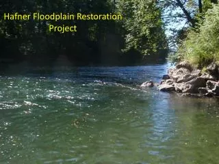
Project aims An EA led partnership project to conserve wet woodland and riparian woodland in areas which will: • improve water quality • reduce flood risk • enhance BAP priority habitat. Selected areas will be targeted for habitat restoration and creation works. Partner involvement: Natural England, Forestry Commission, Woodland Trust, Devon Wildlife Trust, National Park Authorities, South West Water, Southwest Forest.
Project targets • Inventory of sites within 9 target areas by March 2010 • Management advice given to at least 15 land managers by March 2011 • Restoration of 25 ha of degraded woodland within target areas by March 2012 • Creation of 15 ha of woodland within target areas by March 2012
Project plan Phase I Scoping study (Dec 2008 – Mar 2009) • Identification of target areas. Phase II Targeting & partner involvement (Apr – Oct ‘09) • Opportunity / constraint mapping. Phase III Delivery (Nov 2009 – Mar 2012) • Advice and practical work. Phase IV Monitoring (Nov 2009 on) • Results summarised in final report.
Target area selection (Phase I) The target areas have been chosen because they are: • waterbodies which are ‘at risk due to nutrients from diffuse pollution’ • within the CFMP policy units that increase flooding The highest priority areas meet both criteria.
Opportunities vs Constraints • Landowner objectives • Soil type • Topography and aspect • Other priority habitats or species • Designated sites • Existing agri-env agreement • Current land use • Historic features • Woodland habitat networks • …