Download
1 / 1
10 likes | 134 Views
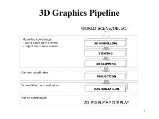
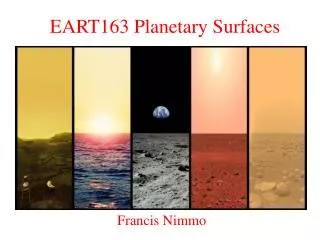
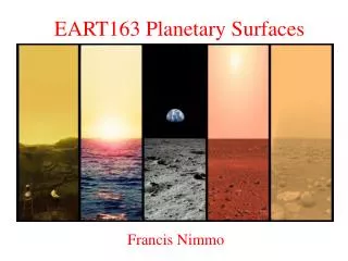
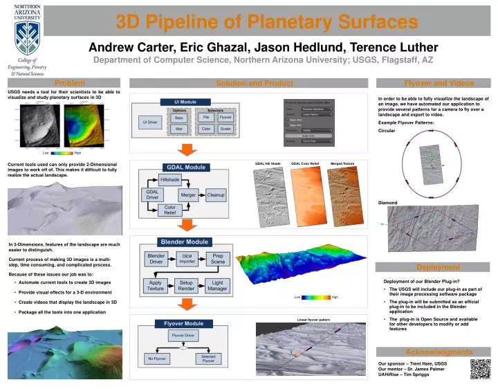
3D Pipeline of Planetary Surfaces. Andrew Carter, Eric Ghazal, Jason Hedlund, Terence Luther. Department of Computer Science, Northern Arizona University; USGS, Flagstaff, AZ . Problem. Solution and Product. Flyover and Videos.

E N D
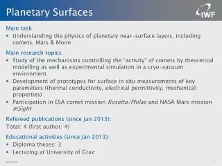
3D Pipeline of Planetary Surfaces Andrew Carter, Eric Ghazal, Jason Hedlund, Terence Luther Department of Computer Science, Northern Arizona University; USGS, Flagstaff, AZ • Problem Solution and Product • Flyover and Videos USGS needs a tool for their scientists to be able to visualize and study planetary surfaces in 3D In order to be able to fully visualize the landscape of an image, we have automated our application to provide several patterns for a camera to fly over a landscape and export to video. Example Flyover Patterns: Circular Diamond • Deployment of our Blender Plug-in? • The USGS will include our plug-in as part of their image processing software package • The plug-in will be submitted as an official plug-in to be included in the Blender application • The plug-in is Open Source and available for other developers to modify or add features Low High Current tools used can only provide 2-Dimensional images to work off of. This makes it difficult to fully realize the actual landscape. GDAL Hill Shade GDAL Color Relief Merged Texture • In 3-Dimensions, features of the landscape are much easier to distinguish. • Current process of making 3D images is a multi-step, time consuming, and complicated process. • Because of these issues our job was to: • Automate current tools to create 3D images • Provide visual effects for a 3-D environment • Create videos that display the landscape in 3D • Package all the tools into one application • Deployment Low High Linear flyover pattern • Acknowledgments Our sponsor – Trent Hare, USGS Our mentor – Dr. James Palmer UAHiRise – Tim Spriggs