Download
1 / 34
340 likes | 615 Views
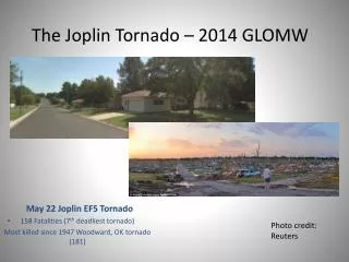
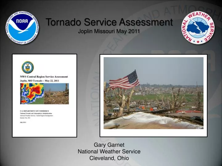
Tornado Service Assessment Joplin Missouri May 2011. Gary Garnet National Weather Service Cleveland, Ohio. Joplin Missouri Tornado. EF5 Tornado (Winds >200 Miles an Hour) Max Width Approximately 1 Mile Fatalities ~ 160 Deadliest Tornado to Hit US since 1950

E N D
Tornado Service Assessment Joplin Missouri May 2011 Gary Garnet National Weather Service Cleveland, Ohio
Joplin Missouri Tornado • EF5 Tornado (Winds >200 Miles an Hour) • Max Width Approximately 1 Mile • Fatalities ~ 160 • Deadliest Tornado to Hit US since 1950 • 7th Deadliest Tornado Since Tornado Records have been kept
Service Assessment: • Event was adequately warned from • NWS perspective. • b) The service assessment focus was on: • 1) Learning what we can about communication, dissemination, community preparedness and warning response leading into and during the event. • 2)Evaluating services provided by the WFO and SPC leading into and during the event. • 3) Evaluating internal WFO operations leading into and during the event. • c) Five days spent on-site, with nearly 100 total interviews spread amongst: • Tornado survivors/general public • NWS Partner Groups – EMs, Media, EOC/Dispatch, Fire Chief • NWS User Groups – Businesses, Schools, City Officials • NWS Staff (WFO SGF and SPC)
509 pm CDT… Initial TOR for Jasper County – for storm A - includes NE Joplin. NWR/EAS activated for all of Joplin. Warning basis indicated the threat was mostly north of Joplin. Sirens activated in Joplin at 511 PM CDT based on funnel reports in SE KS. A Tornado Track
509 pm CDT… For most, this siren activation is the first indication of risk. This also results in some ambiguity concerning the type and degree of the threat. Finding #2a The majority of residents did not immediately seek shelter from the initial siren (or other) alerts – and instead sought to clarify and further assess their risk. Finding #2b Many residents indicated they were desensitized to sirens and warnings, indicating a degree of lost credibility for both. Finding #2c. A
517 pm CDT… Second TOR warning issued for Jasper County – for storm B – and includes Joplin proper. NWR/EAS activation occurs in Joplin for 2nd time in 8 minutes. Sirens not sounded. Some report confusion over the two warnings. Where is the threat ? Is it still to the north of the city ? NWS should collaborate with weather enterprise partners for a better coordinated warning message – including siren strategies that work with NWS warnings rather than independent of them. Recommendation #4 B
534 pm CDT… Initial tornado touchdown occurs several miles west-southwest of Joplin. Small hook evident on Reflectivity Image at this time and tornado intensity is EF0-1. Lead Time of the Warning until initial touchdown is 17 minutes. Initial Touchdown
534 pm CDT… SRV couplet indicates a good circulation at the lowest elevation slice. Likely indicative of potential EF0-1 Tornado. Initial Touchdown
538 PM CDT… EF4 Damage The majority of residents interviewed did not take protective action until receiving and processing credible confirmation of the threat and magnitude from a non-routine trigger. Finding #2d. a) EM takes the unusual step of sounding the sirens in the city again based on spotter reports – 27 minutes after the first sirens. b) Television stations start going live with tower cam video of the tornado and telling people to take cover. c) People go outside to physically see the tornado. Tornado Location
539 PM CDT… Low level intensification occurred very fast, within 1 volume scan. Limited scans at the lowest elevation slices at this time impacted the WFO ability to quickly ascertain tornado magnitude. Finding #10. NWS should develop alternate scan strategies which allow for more continuous sampling near the surface (similar to TDWR scan strategies). Recommendation #10. Tornado Location
543 pm CDT… Tornado is EF5 and strikes High School. WFO SGF SVS at 542 pm still has “boilerplate” wording, despite debris ball and SRV couplet on 539 pm volume scan Warning Forecasters should use enhanced wording that conveys a sense of urgency when extremely dangerous situations are in progress. Recommendation #8. Tornado Location
543 pm CDT… Greater than 100 knots inbound and Greater than 100 knots outbound. Forward movement is around 20 mph. Several people report experiencing an “eye” with the large tornado. Tornado Location
548 pm CDT… Final tornado warning issued covering entire supercell region and replaces previous two tornado warnings. Enhanced wording used in the warning reflective of large debris ball on radar image. Tornado crosses Rangeline Road and impacts several big box stores (Home Depot, Walmart, Academy). Tornado Location
Results: When people received ‘warning’ • Most participants had little idea the possibility of a tornado existed prior to Sunday. • About ½ of the residents interviewed learned of the possibility of severe weather in the hours leading up to the tornado. • The other ½ reported their first indication of tornado was in the moments prior to the tornado. **variation exists in how different groups conceive of lead time
Results: How people received ‘warning’ Sources • Broadcasts on TV/radio - NOAA weather radio • 1st siren - Observations physical environment • 2nd siren - Telephone calls • Text messages - Power outages • Social media sites - Springfield WFO website What constitutes a ‘warning’? Participants conceptualized ‘warning’ most often as tornado sirens, and not the official warning product issued by the National Weather Service’s WFO in Springfield, MO. ‘Warning’ as a risk signal: Kasperson et al. 2003: 15
Triggers prompting belief in threat and protective action Women- Belief in Threat - observation of the environment - activation of the 1st siren Men- Belief in Threat - observation of the environment - information presented on TV - activation of the 2nd siren • Protective Action- non-routine trigger • Observation of tornado approaching • Hearing on-air instructions: “Take Cover Now!” • Hearing a 2nd, non-routine siren alert Credibility is one of the most valued characteristics for effective risk communication- Trumbo and McComas 2003
Factors influencing belief in threat for severe weather, cont’d • Differing Worldviews • previous experiences with tornadoes; • apathy; • familiaritywith seasonal weather patterns in southwest Missouri; “there is rotation all the time, but never in Joplin.” • frequency of siren activation in Joplin; “hear sirens all the time”, sirens “go off for dark clouds”, they are “bombarded with [sirens] so often that we don’t pay attention” Normalization of threat: Bankoff 2007: 26 • avid fear of tornados; and • historic tornadoes of April 2011 in SE
County Base Warnings: County Based Dissemination County Dispatch All County Residents County Warning Polygon Based Warnings: County Based Dissemination Warning S County County Dispatch All County Residents Warning E County Warning NW County Polygon Based Warnings: Community Based Dissemination Warning NW County Citizens NW County Community
Summary • Tornado Warning was issued with a significant lead time • Public reaction to the warnings varied • People do not necessarily react to initial warning • People seek more information • People will personalize the event • Non-Routine trigger that sparked many people to react • Important to convey a consistent warning message at the national and local levels. • As warnings become more specific….efforts to relay the warning information should become more specific. • Warning systems need to be able to alert individual communities. • Should warnings be impacted based rather than phenomena based? (Weather Ready Nation Pilot Project)