Download
1 / 26
260 likes | 267 Views
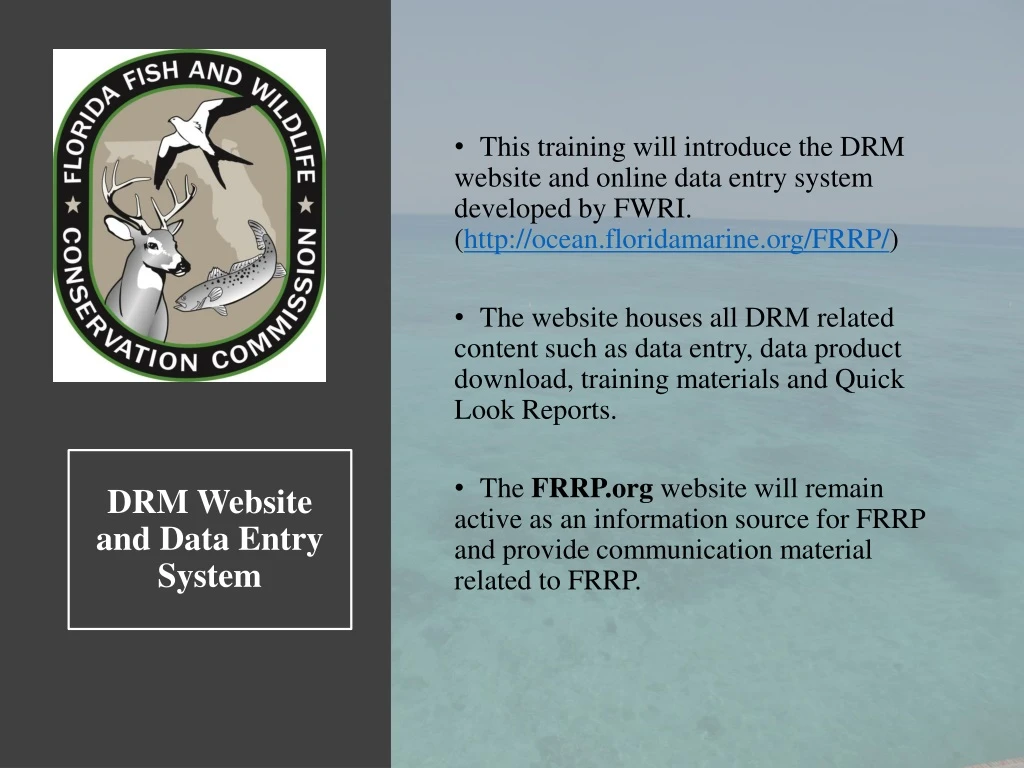
This training will introduce the DRM website and online data entry system developed by FWRI. ( http://ocean.floridamarine.org/FRRP/ ) The website houses all DRM related content such as data entry, data product download, training materials and Quick Look Reports.

E N D
This training will introduce the DRM website and online data entry system developed by FWRI. (http://ocean.floridamarine.org/FRRP/) • The website houses all DRM related content such as data entry, data product download, training materials and Quick Look Reports. • The FRRP.org website will remain active as an information source for FRRP and provide communication material related to FRRP. DRM Website and Data Entry System
‘2019 DRM Survey Sites’ is a link to a zipped folder containing an excel file, shapefile, google earth file, and subregion-maps of the 2019 DRM sites. The DRM SharePoint site can be accessed from this link once you have received an invitation email and created a user account.
From the ‘Report’ page you can filter and download all historic DRM data. First, select what spatial filters you want to apply. If none are selected, all areas will be included in the exported data file (.csv). Second, identify what fields you want in the exported data by clicking the ‘Fields’ button. Last, click the ‘Export’ button to download the .csv of your requested data. You can also click the grey bar to expand a view of your data before you press the ‘Export’ button.
Register and Log-In In order for a surveyor to enter data into the DRM online data portal, they must first register as a new user or log-in with an existing username and password from 2018. By clicking the ‘Log in’ link at the top right of the menu bar, you can ‘Register as a new user’ or log into your account. Click here to register as a new user. Click here if you forgot your password.
To register as a new user for the first time, enter in all the below fields. Next, select your ‘User Role’ (Surveyor or Team Leader) Lastly, select your ‘Team’. You can identify with more than one team if needed. • Teams • Martin County • Palm Beach County • Broward County • NOVA SE Univ. • DEP – Miami • DERM – Miami • RSMAS • Pennekamp • NOAA FKNMS • Upper Keys • Lower Keys • FWRI Rest. Ecol. • FWRI Coral • Keys Marine Lab • MOTE • Dry Tortugas NP
Once you are signed in, you will be directed to the ‘Survey Sites’ page. Assigned sites for your team(s), are displayed in the site list below or can be viewed by zooming into your region on the map. Click on the point icon for your site within the map or in the map legend on the left.
When you click on your site icon on the map, a pop-up box will appear. Here you can access the data entry page for either transect at a site or access the Site Details page. Or, you can simply click on the links provided in the list of sites below the map.
Unsuitable Coral Habitat? If you visited a site and did not find suitable coral habitat, be sure to record it in the online data entry system. First, click the appropriate site in your List of Sites to access the Site Details page. Then, click the ‘Unsuitable coral habitat’ check box under the site details heading on the left side of the screen. Once you have clicked the ‘Unsuitable coral habitat’ button click ‘Save’, and the site will appear as ***DRM_ID*** in your list of sites. Identifying sites that are not coral habitat helps to refine the grid file strata for better accuracy in future surveys. Typically, unsuitable habitat is identified when a site falls on Sand or Seagrass habitats.
Data Entry Page From the ‘Survey Sites’ page, click on either ‘T1’ or ‘T2’, to be directed to the below data entry page. Within the data entry page, there will be five section headings as seen below. Each section can be expanded and collapsed using the [+] or [-] signs. The first two sections are automatically expanded when you access the page to make sure you remember to fill them out first.
Entering Site Data If your original site coordinates for an assigned site did fall on suitable coral habitat, the Latitude and Longitude will remain the same. However, if you moved the location of your transects, you will need to enter in new coordinates. If you have new coordinates for your site, you can enter them by clicking the ‘Overwrite coordinates’ button. In addition, be sure to identify what habitat type you surveyed by choosing from the dropdown menu.
Once you click the ‘Overwrite coordinates’ button a pop-up screen will appear for you to enter your new Lat/Long. After you enter your new coordinates click the ‘Verify’ button. If the coordinates you entered are > 50m from the original site location, the online system will prompt you to enter your data under a ‘New Strategic Site’. To enter a ‘New Strategic Site’ click ‘Survey Sites’ on the menu bar to direct you back to your list of survey sites and then click the ‘Add New Strategic Site’ button at the top left of the screen.
Add New Strategic Site Once you click on the ‘Add New Strategic Site’ button, you will be directed to a new screen. Here you will enter your new site information. Once you click the ‘Save’ button, your new strategic site will appear in your list of surveys sites. Strategic sites will be assigned numbers in the 3000’s as new sites are entered by the teams.
Entering Transect Data Just below the ‘Site Details’ heading in the data entry screen is where you will enter your transect information.
Click on the calendar icon to choose the date of your survey. Enter the depth of the transect and identify the units. Click ‘Yes’ or ‘No’ to identify presence or absence. Record Diadema presence within your transect or within the visible area surrounding your transect. Record Acropora sp. or Dendrogyra presence in the area surrounding your transect that are not captured within your 10m x 1m transect. This data will be subject to underwater visibility and your view of the surrounding substrate. Site notes can be entered in the ‘Comments’ box but be aware that this information will not be used for any data analysis. If another surveyor helped you complete your transect, click the ‘Shared’ button. Then, identify who helped you complete your transect (Buddy).
Rugosity and Roving Diver Data Entry Next you will enter the rugosity measurements collected along your transect and your ‘Roving Diver Survey’ information. Only one roving diver survey is required per site however, two surveys can be entered per site by filling out the roving diver information for each transect.
Rugosity and Roving Diver Data Entry Enter your ten rugosity measurements in each box. Rugosity measurements should be recorded in centimeters. Enter in the total number of minutes you surveyed during your roving diver. For each species enter the total number of tallies recorded under each field. If nothing is entered, the value will default to zero tallies or ‘not observed’.
Coral Data Entry At the bottom of the data entry screen is where you will enter your coral demographic and condition data. In the box provided, enter in the number of corals recorded along your transect so that you have a row for each colony and then press ‘Add’. You can use the small numbers on your datasheet in the ‘Species Code’ column to help count the number of corals you recorded.
Columns will appear once you press the ‘Add’ button. Enter in the total number of corals you recorded OR add rows as you go. Added rows will appear at the bottom of your existing data.
Coral Data Entry Example Use the four-letter Species Codes in the ‘Species’ column. To display the species code drop down list, hit the ‘Space Bar’ on your keyboard. The tab button on your keyboard will move your cursor to the right. More than one code can be entered. Use four-letter sp. codes. Only one code can be entered. Numerical fields default to zero. Only one entry can be entered into the ‘Bleaching’, ‘TL Pattern’ and ‘TL Rate’ fields. More than one entry can be entered into both the ‘Disease Conditions’ and ‘Other Conditions’ columns. Numeric columns will default to zero if no data is entered.
Coral Data Entry Example The ‘Delete’ button at the end of each row will remove the entire row from your screen. Be aware that there is no way to undo your deleted data. Be sure to ‘Save’ your data before you navigate away from the page. You can always come back and edit your data at a later time.
Editing Transect Data Once you have finished your data entry, press the ‘Save’ button either at the top or bottom of the screen. If you cannot finish your data entry and need to return to it at a later time or if you need to edit your existing data, you can access it by clicking the corresponding Site Code from your list of survey sites. This will take you to the Site Details page which is a read-only view of the data as seen below. To access your data, click on the ‘Edit’ button to the right of the transect you wish to edit. This will redirect you back to your data entry page for that transect.
Review Data for Errors After you have entered all of your data and pressed ‘Save’, be sure to thoroughly QAQC your data before marking it as complete. Again, please QAQC your data after you have entered and saved it! (Thank you) Once data entry and QAQC are finished for BOTH transects at a site, please mark it as complete within the data entry system to show that no other further action is needed for that site. This can only be done in the Site Details page. To mark a site as completed: First click on the Site Code from your list of sites. Then, within the Site Details page, check the box next to ‘Complete?’ as seen below. Last, press the ‘Save’ button to the right.
DRM Images - SharePoint An FWC-hosted SharePointsite is available for uploading images collected during DRM surveyors. The SharePoint site will act as the central repository for sharing images among the DRM partners. A link to the ‘Florida Reef Tract Monitoring’ SharePoint site will be emailed all DRM surveyors prior to the start of the season. To open the ‘Florida Reef Tract Monitoring’ SharePoint site, click on the link provided in your email or the link on the DRM website. Prior to uploading images, a photo release form must be signed by a Team Lead and then uploaded to their team’s subregion folder. A blank photo release form is provided for download.
Photo Labeling Instructions: Prior to uploading images to the ‘Disturbance Response Monitoring Images’ SharePoint site, please label photos according to the below instructions. • Label Format: ‘ DRM Site Code_Transect#_Date_Last name of photographer’ o Example: 1002_1_9-12-19_Stein (1) 1002_1_9-12-19_Stein (2) 1002_1_9-12-19_Stein (3) Ect. • It may be helpful to take a photo of your underwater datasheet and then a picture of the colony that you want to capture. This will help with post-dive photo labeling. • If there is a diver(s) captured in your photo that you would like to recognize, please put their last name after the photographer’s last name. o Example: 1002_1_9-12-19_Stein_Ellis • If your photo is not at an assigned DRM site, please provide a coordinate for that photo location in place of the site number. Or, if the photo was taken during a roving diver survey at a site, please provide the site code and ‘roving’ in the file name. Knowing the location of your photo is very important. o Example: 27.17836_-80.15383_9-12-19_Stein Or o Example: 1002_roving_9-12-19_Stein • If there is additional citation, caption or descriptive information that you would like to accompany your photos please include them in a separate word document and uploaded to the ‘Disturbance Response Monitoring Images’ SharePoint folder.
Questions and Feedback Both the DRM Website and DRM Data portal were revised again for this 2019 season in an effort to better validate data fields and provide additional resources for the partners. We understand that there may be some difficulties maneuvering the new system initially and we anticipate that you will have questions. We also encourage you to provide feedback so that we can correct any issues for the future or make the site more user-friendly for data entry purposes. Please direct your questions or data entry issues to Jennifer Stein. Jennifer Stein Biological Scientist II Jennifer.Stein@MyFWC.com 305-676-3252