Download
1 / 24
240 likes | 315 Views
Drizzle comparisons. Ewan O’Connor, Robin Hogan, Anthony Illingworth. Overview. Do operational forecast models simulate drizzle correctly? Models simulate drizzle through precipitation scheme Treat coalescence drizzle as light rain Observed liquid water content/flux Cloud LWC retrieval

E N D
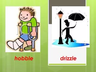
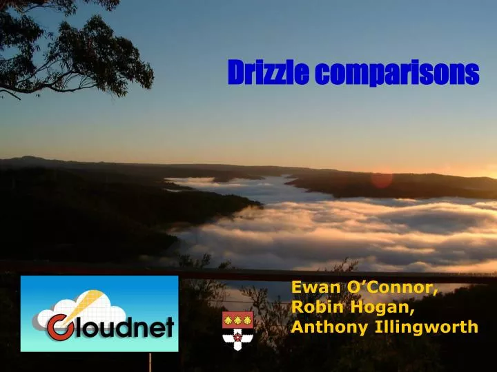
Drizzle comparisons Ewan O’Connor, Robin Hogan, Anthony Illingworth
Overview • Do operational forecast models simulate drizzle correctly? • Models simulate drizzle through precipitation scheme • Treat coalescence drizzle as light rain • Observed liquid water content/flux • Cloud LWC retrieval • Drizzle liquid water flux retrieval • Compare observations and models • Daily basis • Monthly means • Drizzle drop size • Explicit in Met Office model • Effect of changing drizzle number concentration
Liquid water content Model levels Method of Albrecht et al. (1990), Boers et al.(2000) • Use lidar/radar to determine cloud boundaries • Assume linear increase of LWC with height • Scale LWC profile to match LWP from radiometers Cloud top (radar) Height Cloud base (lidar) LWC
Liquid water content • LWC not retrieved in rain
Drizzle below cloud Doppler radar and lidar - 4 observables(O’Connor et al. 2005) • Radar/lidar ratio provides information on particle size
Drizzle below cloud Doppler radar and lidar - 4 observables(O’Connor et al. 2005) • Radar/lidar ratio provides information on particle size Retrieve three components of drizzle DSD (N, D, μ). • Can then calculate LWC, LWF and vertical air velocity, w.
Liquid water flux • LWF retrieved below cloud base and in the absence of rain
ECMWF model • Cloud similar to observations
Met Office mesoscale model • Cloud similar to observations
Met Office global model • Has rain at correct time!
Meteo France ARPEGE model • Thin layers - can be one grid box thick
Compare obs/models • Models have similar LWC / LWP • Models overestimate precipitation
Compare daily means • Models have similar LWC / LWP • Models overestimate precipitation
Monthly comparisons • ECMWF model • Observations
Monthly comparisons • Met Office mesoscale model • Observations
Monthly comparisons • Met Office global model • Observations
Monthly comparisons • Meteo France ARPEGE model • Observations
Drizzle drop size • Met Office model uses explicit size distributions • Treats all precipitation as rain • Overestimates drop sizes • Underestimates evaporation Disdrometer Radar/lidar Model
Met Office diagnostic precipitation • Met Office model uses explicit size • Treats all precipitation as rain
Met Office diagnostic precipitation • Met Office model uses explicit size • Treats all precipitation as rain
Met Office diagnostic precipitation • Met Office model uses explicit size • Treats all precipitation as rain
Met Office diagnostic precipitation • Met Office model uses explicit size • Treats all precipitation as rain
Met Office diagnostic precipitation • Met Office model uses explicit size • Treats all precipitation as rain
Conclusion • Models have reasonable LWC • Produce far too much drizzle • Precipitation reaches surface • Underestimate evaporation • Met Office model • Overestimate of drizzle drop size