Download
1 / 13
140 likes | 148 Views
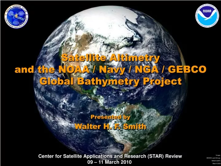
Satellite Altimetry and the NOAA / Navy / NGA / GEBCO Global Bathymetry Project. Presented by Walter H. F. Smith. Requirement, Science, and Benefit. Requirement/Objective Primary NOAA Goal - Commerce & Transportation :

E N D
Satellite Altimetry and the NOAA / Navy / NGA / GEBCO Global Bathymetry Project Presented by Walter H. F. Smith
Requirement, Science, and Benefit Requirement/Objective • Primary NOAA Goal - Commerce & Transportation: • Support the Nation's commerce with information for safe, efficient and environmentally sound transportation. Science • How can accuracy be improved and uncertainty reduced in satellite-derived bathymetry estimates? Benefit • Navy Submarine Navigation Improvement Program [SNIP] • International [IHO & IOC] ocean mapping [GEBCO] • NOAA Weather & Water Info Goal [marine spatial planning; Outreach & Education; etc.] • NOAA Understanding Climate Goal [bottom shape and roughness steer currents & cause mixing] • NOAA Ecosystems Goal[bathymetric features (seamounts) create habitat] • Google Earth
Challenges and Path Forward • Science challenges • Small seamounts remain hard to resolve. There should be perhaps 4000 more red dots that we don't know about. • The true correlation between depth and gravity can be non-linear, not easily handled by spectral methods used so far. • In situ data management is a big challenge. • Next steps • Test new algorithms against classified Navy/NGA surveys. • Develop new work plan to better leverage resources and expertise in partner agencies. • Transition Path • Continue with NGDC, GEBCO, Google on dissemination to the public and end users. • NGA to build ENC/DNC chart overlays for Navy fleet
Two ways to map the oceans • In situ: echo sounding from ships or vehicles in the water • Strength: accuracy, resolution • Weakness: covers only ~15% of global ocean, heterogeneous quality, access to data denied in some areas, multiple formats. • Remote sensing: radar altimetry of sea surface height • Strength: global coverage, homogeneous data quality. • Weakness: low resolution, correlation between depth and altimetric signal varies with geology and is band-limited.
How altimetry senses depth The altimeter cannot "see" the bottom; it measures the sea surface height profile along the satellite's ground track. Topography on the sea floor deflects the pull of gravity, tilting the sea surface. Sea surface tilts can be used to derive gravity anomalies. Combining closely spaced altimeter profiles, we build a gravity map. The gravity map can yield proxy bathymetry at moderate resolution.
Altimetry fills survey gaps Use altimetery to make a gravity anomaly map. Find correlation between depth variation & gravity variation along ship tracks. Exploit correlation to interpolate between tracks, estimating depth in unsurveyed areas. The first global solution was published in 1997. Research to improve the product has been on-going. Resolution & accuracy are limited because the gravity - depth correlation is limited. To improve, we: 1. Increase altimeter signal:noise to increase correlation and resolution. [STAR Altimetry Research] 2. Get more in situ data. [External Partnerships]
Altimetric depth is band-limited In situ measurements of depth (top left) show topographic variations at all scales. A band-pass filter (middle) isolates features that may be resolvable by an altimeter. Altimetry yields gravity anomalies (lower right) that may be partially correlated with band-pass filtered depths.
Seamount under-count Seamounts less than 2 km tall were poorly resolved in early versions of the product. Wessel [JGR, 2001] suggested at least 50,000 seamounts more than 1 km tall exist but were not seen in early versions of the altimetry maps. How can we improve this?
NOAA/NGA/Navy MOA Before 8 January 2005 After 8 January 2005 The USS San Francisco struck an "uncharted" seamount that was indicated in the altimetric bathymetry product. The National Geospatial-intelligence Agency (NGA) and Navy have joined with NOAA to improve the product. NOAA STAR leads altimetry and algorithm improvement. NGA and Navy provide non-public data for algorithm testing. Publicly releasable products are built by combining altimetry with unclassified in situ soundings and shorelines.
Ground truth: Red Dots Survey 692 seamounts predicted by altimetry are prioritized for Navy surveys. Of ~100 surveys to date, all found seamounts (zero "false positives"), ~50 would obstruct a submarine. Over 250 "Notices to Mariners" (public information for surface vessels) have resulted. (Are we too conservative?)
Improving altimeter resolution Recent science accomplishment: At STAR we have improved the spatial resolution of the altimetry maps by "retracking" the radar returns from the sea surface. [Sandwell & Smith, GJI, 2005; JGR, 2009] Future plans: We will test what new resolution may be obtained by the next-generation altimeters, CryoSat-2 and AltiKa, both due to launch in 2010. We also work with Navy to plan requirements for GFO-3.
GEBCO: a global partner GEBCO adds soundings we can't get through other channels, mainly in shallow and coastal areas. These are critical because altimetry - depth correlation decreases near the coast. Data received through GEBCO can be made public, unlike some NGA coastal data. GEBCO ("General Bathymetric Charts of the Oceans") is steered jointly by the Intergovernmental Oceanographic Commission and the International Hydrographic Organization. We have been active in GEBCO since 1993, tech. lead since 2004.
Challenges and Path Forward • Science challenges • Small seamounts remain hard to resolve. There should be perhaps 4000 more red dots that we don't know about. • The true correlation between depth and gravity can be non-linear, not easily handled by spectral methods used so far. • In situ data management is a big challenge. • Next steps • Test new algorithms against classified Navy/NGA surveys. • Develop new work plan to better leverage resources and expertise in partner agencies. • Transition Path • Continue with NGDC, GEBCO, Google on dissemination to the public and end users. • NGA to build ENC/DNC chart overlays for Navy fleet