Download
1 / 11
120 likes | 236 Views
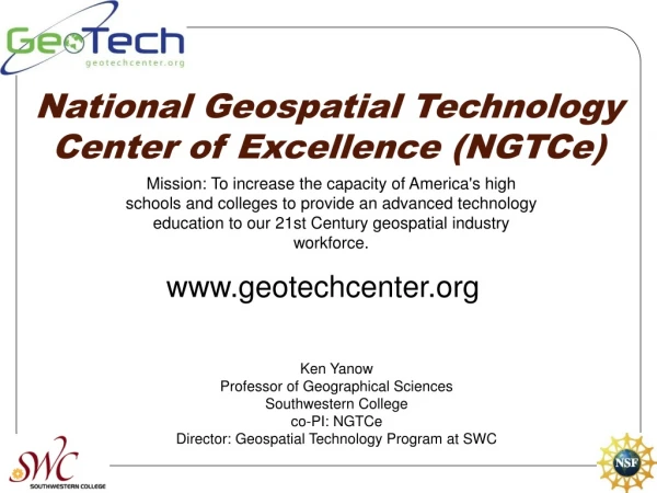
National Geospatial Technology Center of Excellence. www.geotechcenter.org. Quick Facts. Four Year Project (2008-2012) $5M total 7 Community Colleges and 4 Universities National in scope Only Center devoted to geospatial two year education Should impact ~ 10,000 learners by 2012.

E N D
National Geospatial Technology Center of Excellence www.geotechcenter.org
Quick Facts • Four Year Project (2008-2012) • $5M total • 7 Community Colleges and 4 Universities • National in scope • Only Center devoted to geospatial two year education • Should impact ~ 10,000 learners by 2012
Community College Partners • Southwestern College—San Diego CA (Kenneth Yanow) • Lake Land College—Matoon IL (Mike Rudibaugh) • Gainesville State College—GA (Chris Semerijan) • Century College—St. Paul MN (Carol Mathews) • Kentucky State Technical & Community College (Vince DiNoto) • Central Piedmont College—NC (Rodney Jackson) • Niagara Community College—Niagara NY (Robert Lord)
University Partners • San Diego State University (Dr. Ming Tsou) • Penn State University (David DiBiase)
Goals • Create a national clearinghouse of exemplary geospatial curriculum material and database web services. • Increase the capacity to train geospatial technicians. • Increase the quantity, quality, and diversity of geospatial technicians to meet workforce needs. • Increase the number of educators participating in geospatial professional development. • Sustain the Center long-term by seeking collaborations and sources of funding to maintain and improve services and products.
Benefits to Educators • National Clearinghouse • Curriculum • Skill Standards • DACUMs • Internship models • Articulation models • Internship job bank • Salary information • Geodata resources (by domain, state, region, etc.)
Benefit to Educators • WebServices • Provide Internet-based access to customized geodatabases • Technical support for our webservices • Consultation on design and implement of geodatabases
Benefit to Educators • Professional Development • Clearinghouse of relevant activities by domain, geographical area, date, etc. • Clearinghouse for commercial and nonprofit training opportunities. • Partner with URISA, ASPRS, GITA, UCGIS, USGIF, etc. for membership services. • Online education (both credit and noncredit). • Advocate for financial resources • Facilitate certification as it develops.
Benefit to Educators • Growing your program • Recruitment strategies • Articulation models • Curriculum models and material • Internship models and resources • Industry advisory resources • Grant development • Software licensing • Hardware resources • Project-based learning resources
Year One Scheduled Tasks • Claim office and lab space—Summer 08 • Hire staff—Summer 08 • Begin DACUM work—Fall 08 • Begin Website and Clearninghouse—Spring 09 • Begin GIS&T Body of Knowledge Pathway—Spring 09
Contact Information • http://www.geotechcenter.org • Phillip Davis, pdavis@delmar.edu • Ann Johnson, ajohnson@esri.com • John J. Nelson, j2pro@aol.com • Leti Clark, lclark@delmar.edu • Phone: 361.698-1402 Please complete our survey http://www.surveymonkey.com/s.aspx?sm=v2XwggCv4W4ZTYK6486QTw_3d_3d