Download
1 / 9
90 likes | 96 Views
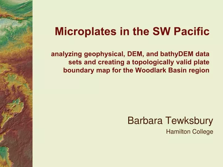
Microplates in the SW Pacific analyzing geophysical, DEM, and bathyDEM data sets and creating a topologically valid plate boundary map for the Woodlark Basin region. Barbara Tewksbury Hamilton College. Context. Semester course GIS for Geoscientists About midway through the course

E N D
Microplates in the SW Pacificanalyzing geophysical, DEM, and bathyDEM data sets and creating a topologically valid plate boundary map for the Woodlark Basin region Barbara Tewksbury Hamilton College
Context Semester course GIS for Geoscientists About midway through the course Assumes following knowledge/skill Distinguishing characteristics of plate boundaries Coordinate systems/projections Manipulating layers Hillshading Working with rasters and shapefiles Map layout/cartography
Purpose: geological • Analyze plates and plate boundaries in Woodlark Basin Region http://denali.gsfc.nasa.gov/dtam/gtam/
Purposes: GIS • Use multiple data sets • Calculate and use Z factor • Add XYZ data from spreadsheet and portray in ArcScene • Georeferencing • Create a geodatabase and make a topologically valid geologic map • Create a beeyootiful and cartographically correct map • Poster with map plus evidence
Multiple data sets • Students download from original data sources and prep for hw • NOAA etopo1 bathy/topo DEM • SRTM DEM • EQ data from USGS EQ Hazards Prog. • Volcanoes from Smithsonian Global Volcanism Project • World continents shapefile • Other data sets (from course server) • Higher res bathyDEM of Woodlark Basin • Jpegs with ocean floor ages and plate motion vectors (to be georeferenced)
Phase 1: preparation of a base map and ArcScene visualization • Combination of three DEMs to give regional coverage, detail, and land/ocean distinction
Phase 2: analysis of plate boundary types and locations • Earthquake data from search > Excel > ArcScene
Phase 2: analysis of plate boundary types and locations • Volcanism from Excel; seafloor ages, plate motion vectors georeferenced, hillshaded DEMs
Phase 3: preparation of a regional plate map • Plate/boundaries as shape files - limitations • Plate/boundaries in geodatabase with topological analysis; lines to polygons