Download
1 / 8
80 likes | 195 Views
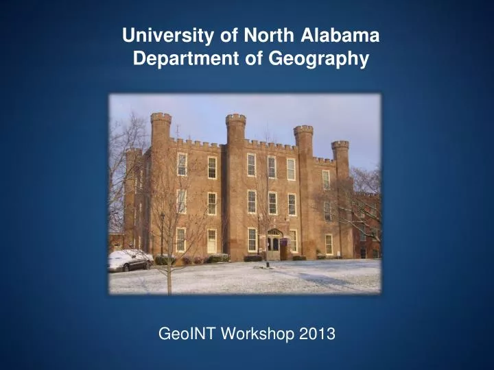
University of North Alabama Department of Geography. GeoINT Workshop 2013. Faculty. 8 Professors 5 GISP Specialists Physical Geography Biogeography Urban Planning Climatology Cartography Economic Geography GIS Remote Sensing. Curriculum. Students (our focus)

E N D
University of North AlabamaDepartment of Geography GeoINT Workshop 2013
Faculty • 8 Professors • 5 GISP • Specialists • Physical Geography • Biogeography • Urban Planning • Climatology • Cartography • Economic Geography • GIS • Remote Sensing
Curriculum • Students (our focus) • ~150 Undergraduate Majors • ~20 Graduate Students • Three Options for Geography Majors • Geographic Information Science • Business Geography • General Geography • Geography Minor • Certificate in Geographic Information Systems • M.S. in Geospatial Science
Courses • Traditional Geography Coursework • Geographic Information Systems • Image Interpretation • Remote Sensing (with Image Processing) • Applied Geospatial Analysis (Advanced GIS) • Cartography • Special Topics (e.g., Quantitative Methods, GIS Programming) • Geopolitics • Regional Geography (e.g., Middle East) • Co-op/Intern Program
Philosophy • Spatial thinking and reasoning • Asking spatial questions • Geospatial technology is a tool used to address these questions • You cannot learn GIS without DOING GIS! • Students: • Learn to Think • Learn to Adapt • Learn to Learn • Writing and Presenting Results
Frequency and amplitude of oscillations dependent on the job/tasks Where: t=time f=frustration h= the zone of near-homicidal rage This curve is variable in terms of timing and actual shape… however, observation and experience suggest it is fairly accurate overall.
What we provide: • Well trained graduates (B.S. and M.S. degrees) • Thinkers/problems solvers NOT ‘button mashers’ • Research expertise creating geospatial solutions