Download
1 / 21
220 likes | 428 Views
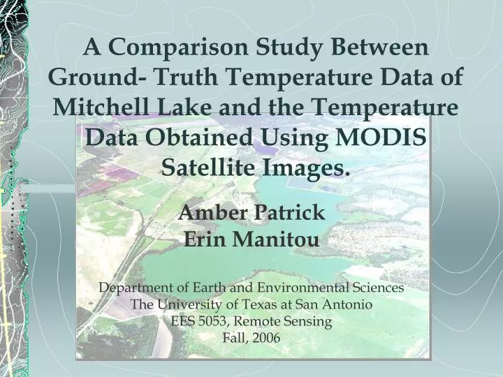
A Comparison Study Between Ground- Truth Temperature Data of Mitchell Lake and the Temperature Data Obtained Using MODIS Satellite Images. Amber Patrick Erin Manitou Department of Earth and Environmental Sciences The University of Texas at San Antonio EES 5053, Remote Sensing Fall, 2006.

E N D
A Comparison Study Between Ground- Truth Temperature Data of Mitchell Lake and the Temperature Data Obtained Using MODIS Satellite Images. Amber Patrick Erin Manitou Department of Earth and Environmental Sciences The University of Texas at San Antonio EES 5053, Remote Sensing Fall, 2006
Outline • Objectives • Background Information • Mitchell Lake • MODIS data • Ground Truth Data • Methods • Results • Conclusion
Objectives • To assess whether or not MODIS images are a quality indicator of lake temperature • To compare the remotely sensed data with ground-truth data for comparison
Bexar county map showing watershed and Mitchell Lake. Major Highway systems are also shown. Coordinate System: NAD 1983 State Plane Texas South Central FIPS 4204 Feet
Mitchell Lake Background Information Mitchell Lake Logistics • Located SW of city of San Antonio • Coordinates: 29º32’N Latitude and -98º28’W Longitude. • Average lake depth is less than 8 feet • 600 acres body of water centered on 1,300 acres of wetlands • One of the two natural lake in state of Texas
Mitchell Lake Background Information Mitchell Lake as Sludge Lagoon • Lake was damned in early 1900’s and received raw sewage from the city of San Antonio area until 1930’s • Obviously, poor water quality resulted with problems such as odorous algal blooms and sever eutrophication of the lake • From 1987 until present time, the lake is receiving only treated water from the Leon Valley Water Treatment Facility
Mitchell Lake Background Information Mitchell Lake as Wildlife Refuge • Acts as a bird sanctuary for over 300 species of migratory birds that pass through the area each year • Lake is owned by SAWS, but is overseen by National Audubon Society
MODIS Background Information • MODIS (Moderate-resolution Imaging Spectroradiometer) was launched on board the Terra satellite (sun-synchronous) in 1999 • Terra orbit is north to south so that it crosses the equator in the morning. • Terra passes over Mitchell lake at approx. 1:30 am and 1:30pm • Acquires data in 36 spectral bands ranging in wavelengths from 0.4μm to 14.4μm • Swath dimensions are 2,300km x 10km • Spatial resolution of 250m (bands 1-2), 500m (bands 3-7), 1000m (bands 8-36) • Radiometric sensitivity of 12 bits
Ground-Truth Data • Data acquisition began August 21, 2006 • Data acquired by Dr. Murray, Dr.Bodour and Magdalis Morales (undergraduate student) • Data acquired using a Troll 9000Pro XP probe • The probe is located on the south rim of Basin #5 approximately 5 feet under the surface.
Methods • Images obtained from the EOS gateway website • We used the MODIS reproject tool to convert the downloaded files to .tif files for use in ENVI • In ENVI, we used band math equation to convert pixel value to degrees K
Methods Continued…. • Density slice was applied to each image with 25 different temperate ranges from 286 K to 332 K • New color every 3 degrees K
ROI • An ROI was made of Mitchell Lake and applied to each image • Temperatures compared with ground-truth data
Conclusions • Lack of consistent data proved to be a problem in accurately comparing remotely sensed products with ground-truth data • Ground truth data not compatible with remotely sensed data due to different location of probe • MODIS doesn’t seem to be useful for gaining accurate temperature data for a water body as small as Mitchell Lake.
Factors Affecting Project Results • Cloud covering area of interest. (We were not able to use Aqua data as originally planned due to excessive cloud cover.) • Probe location too deep for accurate comparisons to be made. • MODIS images has too big of a spatial resolution for such a small subject area. Landsat 7 has a better spatial resolution(15m). • Images from other more appropriate sensors are costly, MODIS images are free from the EOS Gateway.
References • Aranoff, S. 2005. Remote Sensing for GIS Managers. ESRI Press. Redlands, California. • Branom, J., Sarkar, D. 2004. Phosphorus bioavailability in sediments of a sludge disposal lake. Environmental Geosciences. V.11, No.1.42-52. • MLWS. 2002-2005. http://www.mlws.org. Mitchell Lake Wetlands Society, San Antonio, Texas. • Oesch, D. C., Jaquet, J. M., Hauser, A., Wunderle, S. 2005. Lake Surface water temperature retrieval using advanced very high-resolution radiometer and Moderate Resolution Imaging Spectroradiometer data: Validation and feasibility study. Journal of Geophysical Research. 110: C12014. • SAWS. 2000. Mitchell Lake Master Implementation Plan. San Antonio Water Systems, San Antonio, TX. • Simpson, N., Sarkar, D., Datta, R., Sharma, S. 2006. Effects of Sewage Sludge Disposal on Metal Content in the Sediment and Water of Mitchell Lake, San Antonio, Texas. Bull. Environ. Contam. Toxicol. 77:104-111. Metal Content in the Sediment and Water of Mitchell Lake, San Antonio, Texas, USA. Environ. Contac. Toxicol. 77: 104-111. • Vertucci, F., Likens, G. 1989. Spectral reflectance and water quality of Adirondack mountain region lakes. Limnol.Oceanogr. 34 (8): 1656-1672. • Waclawczyk, J. L., 2004. Yellow River Delta Morphology Over Time: A Remote Sensing Spatial Study Utilizing Historical MODIS Images. RS 5053, Fall 2004. • Williams, M. C., Campos, J., 2005. MODIS/Terra Urban Heat Island Temporal Formation and Dissipation in San Antonio, Texas. RS 5053, Fall 2005.