Download
1 / 56
560 likes | 691 Views
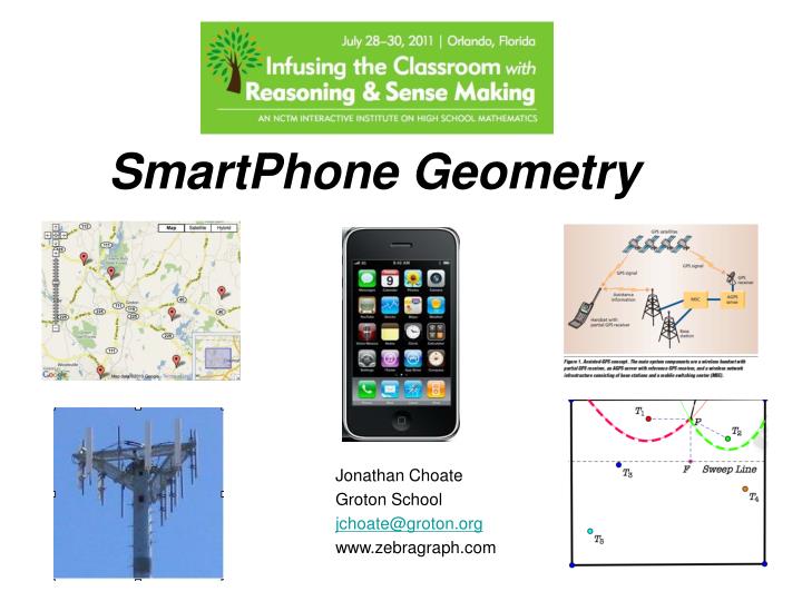
SmartPhone Geometry. Jonathan Choate Groton School jchoate@groton.org www.zebragraph.com. WHAT’S COMING?. Why are they called Smart Cell phones? How do you figure out how far you are from home using your latitude and longitude?

E N D
SmartPhone Geometry Jonathan Choate Groton School jchoate@groton.org www.zebragraph.com
WHAT’S COMING? • Why are they called Smart Cell phones? • How do you figure out how far you are from home using your latitude and longitude? • How does your phone figure out where you are if there is no GPS reception? • Given tower locations how can you predict the coverage?
http://www.google.com/patents?id=nO8tAAAAEBAJ&dq=martin+cooperhttp://www.google.com/patents?id=nO8tAAAAEBAJ&dq=martin+cooper
http://www.doc.ic.ac.uk/~nd/surprise_96/journal/vol1/pr4/article1.html#Cellshttp://www.doc.ic.ac.uk/~nd/surprise_96/journal/vol1/pr4/article1.html#Cells
In order to serve the most customers the average cellsize is roughly 10 square miles. Each cell can service approximately 70-80 users at once because - Each cell is alloted 832 frequencies or channels - 42 channels are used for control issues- 790 are available for voice and data transmission.- Cell phones are duplex devises and need 2 frequencies per user unlike walkie talkies.
- Each cell is surrounded by 6 other cells so in order to avoid interference issues there has to be seven separate sets of frequencies. - 395/7 is roughly 76 so for each cell there are 76 sets of frequencies so each cell can handle 76 users at once. - In a 7 cell cluster, 532 people can be handled.
Hexagon Geometry R Cell Area =
2H 1H Ru 120 degrees
Let H = distance between two centers of adjacent hexagons. Let Ru = Distance between two cells with same set of frequences. Using the law of cosines, you get
C Rc B D Rc Rc Rc Rc E Ru A Let Rc be the cluster radius. Rc = AB =AD=DE and AE = Ru, <ADE=120
The area of the cluster can be calculated in two ways. Let C be the number of cells in the cluster Therefore, C = 7
This shows that the possible cluster configurations contain i2 + j2 +ij cells where i and j are the displacements used to get to the nearest cell that can have the same set of frequencies.
i=3, j = 2 9 + 4 + 6 = 19
Part 2. How do you assign coordinates to locations on the surface of the Earth?
<PCQ = your longitude <PCG = your latitude R is the radius of the Earth R = 3,959 Miles <GPR=<PQC=90 Z= GP = R sin(lat) PC=R cos(lat) X= PQ = PC sin(long) =Rcos(lat)sin(long) Y = CQ=PC cos(long) = Rcos(lat)cos(long)
Activity 2. How do you calculate the distance between two points on the surface of the Earth given their latitude and longtitude? How far are you from home?
Part 3: How does your phone figure out where you are? MA2029
A possible arrangement of AT@T towers??? Tower maps can be found at http://www.towerco.com
Activity 3 How does Assisted GPS determine your position? Method 1: Trilaterization
To construct the Symmedian Point S for triangle ABC • Construct the centroid G 2. Reflect G about the angle bisector of angle BAC creating point G1. Create ray AG1 and hide the angle bisector. 3. Repeat for vertices B and C, creating rays BG2 and CG3. 4. Rays AG1, BG2 and CG3 are concurrent at the Symmedian point S
One solution to this problem is to construct for each tower the region formed by all the points nearest to that tower. These are called Vornoi Regions.
T1 T2 T3 T4 T5 Activity 4: Construct the Vornoi Regions for the five towers shown on the diagram below.
Fortune’s Method • For more than 3 points, finding Vornoi Regions is very hard. In 1986, Steven Fortune came up with an ingenious way of finding them making use of parabolas.
Given a line D, the directrix and a point F, the Focus, not on D, the set of points equidistant from F and D form a parabola.
Here’s how to implement Fortune’s Algorithm using Geometer’s Sketchpad Step 1. Open a file and select the graph option. Plot the points which represent the tower locations Step 2. Construct a vertical line with a movable point D. Through D construct a horizontal line. This will serve as a movable Directrix. Step 3. Create the function which will plot the parabola with the upper most tower point and plot it.