Download
1 / 15
150 likes | 158 Views
MARATLAS. Anne-France WOESTYN DG MARE.C1 Brussels, MODEG, 5/6/2009. Objectives. Target audience: Interested public, MS and stakeholders Objectives: raise public awareness of maritime issues clarify the spatial dimension of EU maritime legislation, including FISH policies

E N D
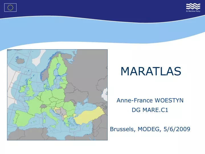
MARATLAS Anne-France WOESTYN DG MARE.C1 Brussels, MODEG, 5/6/2009
Objectives • Target audience: • Interested public, MS and stakeholders • Objectives: • raise public awareness of maritime issues • clarify the spatial dimension of EU maritime legislation, including FISH policies • promote the identity of maritime basins • Part of DG MARE communication: • On DG MARE website and complementing it • Focusing on geo-based communication • Illustrating DG MARE publications
Approach • Web-based, dynamic and public • Mainly maps, also texts and pictures • European scope, including OR • Sea basin approach, including coasts, waters • Multi-sectors – multi-themes • Multi-lingual (EN, FR, DE)
Thematic content • Science Hydrography, geology, chemistry, biology, sea-bed habitat map… • Policy and Governance Jurisdictions, law, spatial planning, cooperation agreements… • Economy Fishery, energy, transport, extraction, telecom, tourism, research… • Population Settlement, employment, demography, education… • Environment Protected areas, endangered and alien species, (radioactive) waste dumping, former ammunition deposition zones, marine pollution, accidents… • Culture Historical lighthouses, coastal & underwater archaeology, submerged wrecks, maritime museum
Project organisation • Project team: • Project owner: MARE.C1 • IT project manager: MARE.F3/IT • intra-muros consultants: ESRI Belux • MARE Steering committee: • MARE units: A1, C1, D1, E1 • MARE comm/info: F2 • FISH control: A4 (GIS) • Inter-Service Group: Working group of GISCO utc • External experts: MODEG, atlas experts, …
Source of data and information • European Commission • GISCO, MARE, ESTAT, ENV, TREN, REGIO, … • European agencies (EEA, CFCA, EMSA…) • International organisations (IHO, FAO, UN, …) • Member States • Others…
Bathymetry Underwater features Corsica Employment & entreprises Content: examples (1)
Content: Example (2) Slovenia Member States of the EU Year of EU entry: 2004 Political system: Republic Capital city: Ljubljana Total area: 20 273 km² Population: 2 million Currency: euro Official EU language: Slovenian More: General country Fact sheet Maritime Policy Facts & Figures Maritime Policy Governance Fiche Fisheries Facts sheet TACs and quotas …
Transport: Ferry roads, ports Fisheries: Number of vessels per countries Content: Examples (3)
Baltic Sea The Baltic Sea is bounded by the Scandinavian Peninsula, the mainland of Europe, and the Danish islands. It drains into the Kattegat by way of the Øresund, the Great Belt and the Little Belt. The Kattegat continues through Skagerrak into the North Sea and the Atlantic Ocean. The Baltic Sea is artificially linked to the White Sea by the White Sea Canal and to the North Sea by the Kiel Canal.
POTENTIAL FURTHER ATLAS DEVELOPMENT • Internal tool for: • policy conception, analysis, reporting… • Public tool for: • Marine and maritime education programmes • Job market for maritime professionals
Relation with other web-based initiatives • Google Ocean • UN Atlas of the seas • WISE Marine (Water Information System for Europe – Marine) • …
Links with EMODNET • Working arrangement on ‘sea-basins’ delimitations • Integration of data from EMODNET • Compatibility portals, data, … -> Coordination is needed!
Thank your for your attention! More information: http://ec.europa.eu/maritimeaffairs Contact: anne-france.woestyn@ec.europa.eu