Download
1 / 17
170 likes | 314 Views
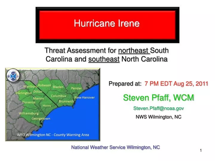
Hurricane Irene Threat Assessment for northeast South Carolina and southeast North Carolina. Prepared at: 7 PM EDT Aug 25, 2011. Steven Pfaff, WCM Steven.Pfaff@noaa.gov NWS Wilmington, NC. National Weather Service Wilmington, NC . New Information.

E N D
Hurricane Irene Threat Assessment for northeast South Carolina and southeast North Carolina Prepared at: 7 PM EDT Aug 25, 2011 Steven Pfaff, WCM Steven.Pfaff@noaa.gov NWS Wilmington, NC National Weather Service Wilmington, NC
New Information The forecast has been slightly adjusted to the west again, but the timing of the storm remains similar. Hurricane Warnings have been posted for coastal southeast NC counties and adjacent waters. Tropical Storm Warnings have been posted for coastal northeast SC counties and adjacent waters. Tropical Storm Warnings have been posted for Bladen and Columbus counties. Tornadoes – Low impact with isolated tornadoes possible, while the best threat area will remain east of the area.
Latest Information Advisory Time:#22 5 PM EDT - August 25, 2011 Position:27.0 North 77.3 West approximately 475 miles south of Myrtle Beach and 500 miles south of Wilmington. Intensity:Sustained winds are near 115 mph (Cat. 3). Some strengthening is possible through tonight. Movement:Irene is moving to the NNW at 14 mph. A turn to the north is expected by early Friday. GOES-Floater IR imagery of Irene 415 PM EDT Minimum Pressure:950 mb or 28.05 inches. Watches/Warnings: Hurricane Warning in effect from Little River Inlet to Surf City and adjacent coastal waters. Tropical Storm Warning is in effect for Georgetown and Horry counties, and adjacent coastal waters. Tropical Storm Warning in effect for Columbus and Bladen counties. Flash Flood Watch in effect for Georgetown, Horry, Brunswick, Columbus, Bladen, New Hanover, and Pender counties. Next Briefing:The next briefing will be issued around 7 AM EDT Friday unless there are major changes. The next conference call today will be at 8 PM, followed by another at 8 AM Friday.
Preliminary Threats/Impacts Matrix First Look Hazards specific to southeast NC and northeast SC, and based on current NHC track (note: small change in track can result in significant change to impacts). Moderate Wind, Surge, and Flooding Impacts primarily for the southeast NC coast. **Refer to Threats/Impacts Summary slides for more detailed information**
Official Track Information High confidence Irene will track toward eastern NC, likely as a major hurricane Saturday. Once the storm is near our area the radius of tropical storm winds on the nw and sw side from the center is projected to be 140 nautical miles. Given this track Irene’s closest approach to the Grand Strand will be 87 nm at 8 AM Saturday, and 47 nm from Cape Fear around Noon on Saturday. The right front quadrant is not expected to affect southeast NC or northeast SC given the current track. Irene NHC Advisory #22 5 PM EDT
Model Information High confidence in the forecast track toward eastern NC; however, unfortunately the cluster has shifted to the west with the latest guidance bringing this large storm dangerously close to Cape Fear. As you will note a couple of the models are close to Cape Fear, and southeast NC continues to be included in the track error cone. Given the proximity and size of the storm all persons in Southeast NC should proceed with storm preparations, and rush to complete during Friday. 8/25/2011 Ensemble Model Guidance *Note: tropical cyclones can, and do, deviate from the model consensus
Wind Threats/Impacts – Peak Sustained Wind Swath (MPH) **Based on current track/intensity the expected peak sustained wind at the height of the storm** Per the wind swath, the strongest winds will impact the coastal communities of southeast Brunswick County, New Hanover and Pender counties. Tropical storm force winds will extend inland to Bladen and Columbus County. Yellow through red represents tropical storm force winds. Winds on the image are sustained in MPH, note that gusts to hurricane force are possible along the Cape Fear Coast.
Wind Threats/Impacts – Arrival of Sustained 39 and 58 mph winds Onset and End times on the image are shown in local time (EDT).
Wind Threats/Impacts – Arrival of 74 mph winds Onset and End times on the image are shown in local time (EDT).
Wind Threats/Impacts - Summary Winds will be from the northeast then shifting to the north when they peak Saturday morning as Irene is at its closest approach. Moderate impacts are expected, especially across coastal sections of southeast NC. Power Outages – Scattered power outages generally east of an Elizabethtown to Conway and Georgetown line. Widespread power outages possible for Pender, New Hanover, and Brunswick counties, especially in areas with above ground lines. Structures – damage possible to weak structures, roof material, awnings, and siding possible especially along the coast from Southport and Bald Head Island north toward Surf City. Tree Damage – Some trees down inland, while numerous trees and large limbs down along the southeast NC coast. A few roads along the coast impassable due to debris. Bridges/Overpasses – high profile vehicles may become impacted Friday night into Saturday morning on bridges and overpasses
Coastal Flood Threats/Impacts Storm Surge Timing and Tides – Impacts most pronounced with the high tide Saturday morning, with moderate inundation possible from southeast Brunswick County coast to New Hanover and Pender beaches. Storm Surge Inundation – storm surge of 4 to 6 ft coupled with high astronomical tides because of the New Moon will lead to moderate flood impacts across southeast NC coastline, low impacts ( 2 to 4 feet) across Long Bay beaches. Storm Surge Impacts - Moderate impacts include: significant beach erosion and ocean overwash into the dunes. A few sections of near-shore roads and beach access ways may become inundated, especially in historically vulnerable low spots.
Coastal Inundation **Based on the current track, intensity, and tide at time of landfall** Moderate confidence of surge of 4 to 6 ft from Cape Fear to Surf City and 2 to 4 along Long Bay. Astronomical high tide Saturday morning will add to the potential surge creating most impacts along the New Hanover and Pender coasts.
Projected Rainfall Amounts Expect initial bands from the storm to push onshore Friday morning HPC depiction of rainfall. Significant rainfall is expected across the region especially Pender, New Hanover, and Brunswick counties. These are basin averages and locally higher amounts are possible. The area can handle a lot of rainfall, but this amount will likely cause flooding problems since much will fall during a relatively short period of time. A Flash Flood Watch is in effect for part of the area.
Inland Flood Threats/Impacts Pre-conditions – Rivers have been low and the ground is not saturated, however, heavy rainfall within a short period of time can still produce run-off and subsequent flooding. Flood Timing – The highest chances for flooding will highest Saturday morning, quickly ending during Saturday afternoon. Scope of Flooding - Several locations may experience moderate flooding with highest waters capable of causing small streams and creeks to overspill their banks in a few places, mainly in historically vulnerable locations. Other poor drainage areas like ditches, underpasses, parking lots, and low-lying spots along roadways may also become flooded. Storm drains and retention ponds overflow. Flood waters may prompt a few road closures. River Flood – Some river issues are expected if the rainfall forecast over southeastern North Carolina comes to fruition. If the forecast rainfall does occur then the Northeast Cape Fear River could exceed minor flood stage. The Waccamaw near Freeland may also get out of its banks.
Threats/Impacts – Summary Cont. Marine – High impacts are expected, with dangerous marine conditions Friday through Saturday. Seas will be highest (possibly up to 20 to 25 ft) over the outer coastal waters Friday night and Saturday morning before subsiding in the wake of the storm. Seas will likely be much higher over the offshore waters and in particular the Gulf Stream (see next slide). -Tropical storm force winds will spread across the coastal waters Friday morning and persist through Saturday all areas. Meanwhile, hurricane force winds are expected to develop over the Cape Fear waters Friday night through Saturday morning. -Inlet entrances will be dangerous due to steep waves. Surf - Breakers will continue to build in the surf through tonight, and dangerous surf is imminent Friday and Saturday. Rip Currents – The threat of strong and numerous rip currents will exist through the weekend. A high risk of rip currents remains is in effect. Aviation – IFR cigs/vsbys KILM, KCRE, KMYR possible Friday into Saturday. Will likely have issues at the larger terminals from the mid-Atlantic into the northeast states as Irene heads north.
Max Wave Height Swath – from NC RENCI and UNC Major wave event unfolding as Hurricane Irene moves toward the NC coast. This image is the maximum significant wave height across the projected path of Irene. From NHC Advisory #21