Download
1 / 37
470 likes | 886 Views
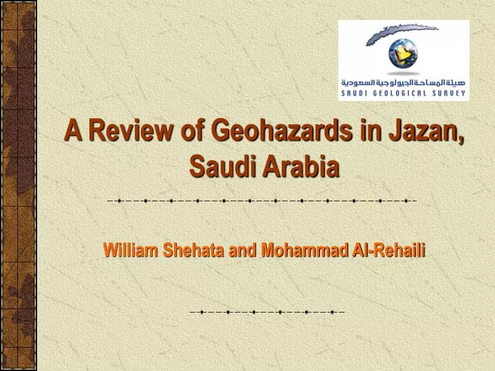
A Review of Geohazards in Jazan, Saudi Arabia. William Shehata and Mohammad Al-Rehaili. Jazan is the second major Saudi sea port on the Red Sea. Jazan In the 1950’s. Jazan In the 1990’s. Jazan dome is 4 km 2 and 50m above sabkha level. A section across the Red Sea. GEOLOGY.

E N D
AReview of Geohazards in Jazan, Saudi Arabia William Shehata and Mohammad Al-Rehaili
Jazan In the 1950’s Jazan In the 1990’s Jazan dome is 4 km2 and 50m above sabkha level
GEOLOGY • Old Jazan is covered by rock salt piercing the cap rock of gypsum, anhydrite and shale of Baid formation and the more recent coralline limestone. • The rocks are locally covered (in depressions) by 6-15m thick layers of fine sand and loess. • New Jazan is covered mainly by sabkha. Sabkha is loose or soft soil varying from non-plastic fine sand to highly plastic organic clay.
Geologic section across Jazan (modified after Londry, 1979)
GEOHAZARDS • Subsidence in old Jazan • Sabkha problems in new Jazan • Seismicity in the general region
SUBSIDENCE IN OLD JAZAN • Subsidence caused dramatic building damages in an area of approximately 40,000 square meters. • More than 100 buildings were affected. • Damaging process were usually accentuated after rain storms. • Complexity of the geologic setting adds to the severity of the problem.
Reason of Subsidence • Dissolution of salt and the formation of cavity into which the overlying soil are washed by groundwater. Loss of circulation frequently noticed during drilling at the top the salt. • Wetting of the superficial loess deposits. A collapse potential of 7% was calculated for the loess*. *This fact cannot account for all the collapses. Hodgson et al.(1985) reported 2m differential settlement during 15 years period in a 25m long building.
Cavity formation and collapse of eolian deposits in old Jazan
Plate loading test results (plate diameter = 300mm) (After Erol, 1989)
Salt diapir Differential settlement is inevitable for a building constructed on this rock-soil complex
(Modified after Erol, 1989) Geology of old Jazan & the locations of damaged buildings
Remedial Measures for Old Jazan • Due to the complexity of the geology on the dome, site specific ground investigation and foundation design are required. • Provision of effective drainage and sewage services are essential. • Where the rock salt is exposed, cut-off walls, impermeable membrane, etc. should be used to prevent salt solution. • Where rock salt is at greater depth, soil replacement and/or bored pile foundation is recommended.
SABKHA PROBLEMS IN NEW JAZAN • The salt crystallization between the soil particles may cause heave. • The transformation between gypsum and anhydrite may cause heave or collapse. • The sabkha salt crust is stable but tends to be weak when wet due to the dissolution of the binding salts. • The salts present in the soil and the shallow groundwater cause corrosion to both the concrete and the rebars. • The low water infiltration rate causes flooding.
Sabkha Properties* * Modified after Hodgson et al. (1985) & Dhowian et al. (1987) ** The thickness increases toward the south.
Corrosivity* *Sabkha soil and groundwater can generally be classified as very corrosive (Hodgson et al., 1985)
Sabkha corrosion action on structures (Examples from Jeddah)
Flooding • The city of Jazan is located in the downstream area of Wadi Jazan and Wadi Dhamad. • Jazan (Malaki) dam regulates 80 Mm3 out of the 90 Mm3 of mean annual runoff. • No flood control structures exist on Wadi Dhamad; the mean annual runoff of 37 Mm3 is uncontrolled. • The low permeability nature of the sabkha soil and the shallow groundwater condition retards infiltration and allows flooding to stand a longer time.
Remedial Measures for Sabkha • A 4m of granular fill will improve the ground condition of the sabkha soil. • The 4m thick fill will break the capillarity of the saline groundwater and protect the foundations from corrosion. • Raft foundation is suggested to reduce the potential damage due to differential settlement. • A 4m fill will also elevate the structure above the flood plain. • A flood control dam is suggested on Wadi Dhamad.
SEISMICITY OF THE REGION • Three earthquakes occurred with epicenters close to Jazan between 1941 and 1955 with magnitudes ranging between 5.5 and 6.2. • 72 shocks were recorded in the area with magnitudes ranging between 0.3 & 3.0 during one month period using 5 portable seismographs (Merghalini, 1979). • No correlation could be made between the locations of the epicenters and a fault that extends parallel to the Red Sea shoreline east of Jazan.
Seismic Activity Possible Impacts • The compressible non-plastic fine sand zone with low SPT values in the sabkha area are the most susceptible soil to liquefaction. • Rock falls and landslides in the mountains east of Jazan are triggered by seismic activities as well as rain storms. • Subsidence in old Jazan can be accentuated by the seismic activity.
Liquefaction potential evaluation charts (modified after Seed, 1971)
Jabal Al Abadel Example of slope failure at Jabal Al Abadel, east of Jazan
Remedial Measures for Seismic Hazards • A 4m of granular fill may significantly reduce the liquefaction potential. • Raft foundation is suggested to reduce the potential damage due to liquefaction induced settlement. • A building code should be established especially for high rise buildings. • Slope stability analysis of the mountain road cuts is essential.
GENERAL ASSESSMENT • The engineering geological mapping of Jazan should be done. • The different hazards and their involved risks should be assessed. • The seismic events should be recorded, the focal mechanism determined and the surface faulting checked. • The possible locations of flood control dams should be reinvestigated.