Download
1 / 19
190 likes | 284 Views
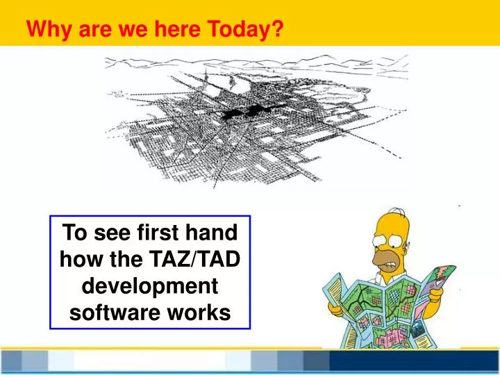
Why are we here Today?. To see first hand how the TAZ/TAD development software works. Introduction to CTPP TAZs and TADs. What is CTPP TAZs and TADs Things to think about Resources. What is the CTPP?. Census Transportation Planning Products (CTPP) Program

E N D
Why are we here Today? To see first hand how the TAZ/TAD development software works
Introduction to CTPP TAZs and TADs What is CTPP TAZs and TADs Things to think about Resources
What is the CTPP? Census Transportation Planning Products (CTPP) Program The CTPP is an umbrella program of Census related data products, custom tabulations, training, technical assistance, and research for the transportation community Designed and paid for by transportation planners for transportation planners
Why are Custom Tabulations so important? Summarize data by Place of Residence Place of Work Flows between Home and Work Unique Universes (e.g. workers in HHs) Custom Geography (Local TAZs) Traffic Analysis Zones - defined by the local transportation data user for the local transportation data user
Sometime in 2013 XXXXXXXXX Sometime in 2013 New Product is due out New Geography NO data will be suppressed
What is a TAZ/TAD? • Custom Geography for CTPP data tabulations • Defined by MPOs and State DOTS • Developed in Spring/ Summer 2011 • Funded under CTPP Program • GIS equivalency process built from Census Blocks
What is an equivalency process? Take the map at the right and using the states boundaries make 9 contiguous regions It’s the same for TAZs Blocks cluster into TAZs
TAZs/TADs Building Blocks • 2010 Census Blocks will make up TAZs • TAZs will make up TADs • TADs can cross Counties and States • TADs can be built from TAZs, Block Groups or Tracts http://www.fhwa.dot.gov/ctpp/acsdataprod.htm
The Schedule Nov/Dec 2010 - Agencies verified contact names Feb 2011 - Web-based training (2-25 and 2-28) March through April 2011 - Onlinedelivery of software and Census 2010 data and geographic files (Rolling basis) 3- Months to delineate TAZ/TADs June through July 2011 - Files returned to CB Geography TAZs/TADs Inserted into TIGER data base 2010 TIGER files http://www.census.gov/geo/www/tiger/tgrshp2010/tgrshp2010.html
TAZ Size • CB recommends • ~600 persons • corresponds to the minimum • threshold for 2010 Census • Block Groups • Threshold is guideline not a requirement • TAZs may be defined with fewer than 600 residents or workers • Data reliability and availability improves as population size increases Bigger is Better
Why the hang-up on TAZ size • ACS is a small sample • Smaller areas have lager MOES • Statistical Collapsing • Confidentialityand Disclosure rules Big Zones make happy data
Important concept to follow When is a TAZ Not a TAZ? When it is a C-TAZ
Hmmm TAZs ¹ TAZs Important Concept TAZs and TADS for Census ACS data do not have to be the same as the TAZs used in your travel forecasting models Think of these as Census TAZs or (CTAZs) Census TADs or (CTADs) Travel Forecasting Zones as Planning Zones or Planning Units Large Zones are Better for ACS Data
NE Illinois (2009 3-year ACS) Why are TADs so important? • Higher quality data • Less chance for disclosure proofing • More real data • Potential 3-year data coverage w/No Swiss Cheese
5-year Geography and Flows • Asymmetrical Flows • Small Areas defined by MPOs in MPO areas and States Elsewhere • Tracts are Defaults for Small Areas • Default TADs under discussion TADs as CBDs, Special Districts, etc
The Software Using the Census Bureau MAF/TIGER Partnership Software Census Bureau Contract (CTPP Paying for it) Caliper is the contractor Calling it the MTPS TAZ Element formally TAZ-UP Download materials, software and files from Census Bureau site. 16
Some TAZs resource materials Florida Standard Urban Transportation Model Structure White Paper on Recommended Approach to Delineating TAZ http://www.fsutmsonline.net/images/uploads/reports/FDOT_TAZ_White_Paper.pdf http://www.fsutmsonline.net/images/uploads/mtf-files/PPT_12_TAZ%20White%20Paper_NOV07_FINAL_CS_Keli_Wu.ppt
Important sizes / More on PSAP How many Block Groups can be contained in a single Tract? http://www.census.gov/geo/www/psap2010/bg_criteria.txt http://www.census.gov/geo/www/psap2010/psap2010_main.html
Thank You Ed Christopher FHWA Resource Center 4749 Lincoln Mall Drive, Room 600 Matteson, IL 60443 708-283-3534 edc@EdTheFed.com