Download
1 / 17
180 likes | 330 Views
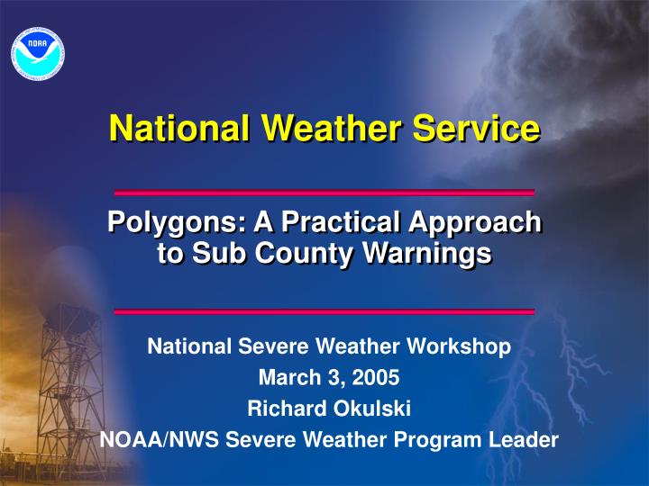
National Weather Service. Polygons: A Practical Approach to Sub County Warnings. National Severe Weather Workshop March 3, 2005 Richard Okulski NOAA/NWS Severe Weather Program Leader. Overview. History of Sub County Warnings Polygons Valid Time Event Code (VTEC)

E N D
National Weather Service Polygons: A Practical Approach to Sub County Warnings National Severe Weather Workshop March 3, 2005 Richard Okulski NOAA/NWS Severe Weather Program Leader
Overview • History of Sub County Warnings • Polygons • Valid Time Event Code (VTEC) • Preliminary Local Storm Reports (LSRs) • Practical Application of Polygons, VTEC and LSRs • Where Are We Now? • Where Are We Heading? • Questions
History of Sub County Warnings • Sub County LAT/LON Information in Short Duration Warnings Since the Late 1990s • LAT/LON Added to Follow Up Statements (e.g. Severe Weather Statement) in 2002 • Whole County Warnings Problematic for the Western U.S. • Coconino County, AZ is larger than several small Eastern states • Areas are Warned Which Are Not Threatened by Severe Weather and/or Flash Flooding
Polygons • What are Polygons in NOAA Products and Services? • A Series of at Least Four Latitude/Longitude Point Pairs Found at the Bottom of all Text Severe Thunderstorm, Tornado, Special Marine and Flash Flood Warnings and Associated Follow Up Statements • Currently Defines the Area of Maximum Impact in a Warned County or Marine Zone • Provides Warning Information at the Sub County/Marine Zone Level • LAT/LON Point Pairs Are Easily Plotted in a Graphical Format
Valid Time Event Code (VTEC) • New Event Specific Dissemination Code • Mandatory for all Severe Thunderstorm, Tornado, and Special Marine Warnings and Associated Follow Up Statements • Information Encoded in VTEC: • Event Type and Significance • Start and End Times • Whether Event is a Test, Operational or Experimental • Event Tracking Number (ETN) • Each Event has its Own Unique ETN For a Combination of Type/Significance (e.g. Severe Thunderstorm Warning, Special Marine Warning)
Severe Thunderstorm Warning WUUS54 KEWX 240228 SVREWX TXC285-240315- /O.NEW.KEWX.SV.W.0039.041124T0228Z-041124T0315Z/ (VALID TIME EVENT CODE) BULLETIN - EAS ACTIVATION REQUESTED SEVERE THUNDERSTORM WARNING NATIONAL WEATHER SERVICE AUSTIN/SAN ANTONIO TX 828 PM CST TUE NOV 23 2004 THE NATIONAL WEATHER SERVICE IN AUSTIN SAN ANTONIO HAS ISSUED A * SEVERE THUNDERSTORM WARNING FOR THE FOLLOWING COUNTIES... LAVACA * UNTIL 915 PM CST * AT 830 PM CST...NATIONAL WEATHER SERVICE DOPPLER RADAR INDICATED A SEVERE THUNDERSTORM CAPABLE OF PRODUCING NICKEL SIZE HAIL...AND DAMAGING WINDS IN EXCESS OF 60 MPH. THIS STORM WAS LOCATED 8 MILES SOUTHWEST OF HALLETTSVILLE...AND MOVING EAST AT 35 MPH. * OTHER LOCATIONS IN THE WARNING INCLUDE EZZELL AND SUBLIME. LAT...LON 2942 9719 2912 9692 2934 9661 2961 9687 (POLYGON LATITUDE AND LONGITUDE VERTICES) 2961 9715 $$
Severe Weather Statement SEVERE WEATHER STATEMENT NATIONAL WEATHER SERVICE JACKSON MS 646 AM CST THU DEC 9 2004 MSC065-091256- JEFFERSON DAVIS MS- /O.CAN.KJAN.SV.W.0045.000000T12091300Z/ 646 AM CST THU DEC 9 2004 ...THE TORNADO WARNING FOR JEFFERSON DAVIS COUNTY IS CANCELLED... LAT...LON 3160 8962 3145 8956 3146 8941 3165 8940 $$ MSC031-091300- COVINGTON MS- /O.CON.KJAN.SV.W.0045.000000T12091300Z/ 646 AM CST THU DEC 9 2004 ...A TORNADO WARNING CONTINUES UNTIL 700 AM CST FOR COVINGTON COUNTY... AT 641 AM CST...NATIONAL WEATHER SERVICE DOPPLER RADAR CONTINUED TO INDICATE A TORNADO. THIS TORNADO WAS LOCATED NEAR SEMINARY...OR ABOUT 10 MILES SOUTH OF COLLINS...MOVING EAST AT 40 MPH. THE TORNADO WILL BE NEAR... SANFORD AND SEMINARY BY 645 AM CST LAT...LON 3160 8962 3145 8956 3146 8941 3165 8940 $$
Preliminary Local Storm Reports (LSR) • Preliminary Documentation of Warning Criteria Events • Received from Spotters, Law Enforcement, Media • Disseminated to the Public Shortly After Reports are Received • Event Type • Time of Event • Who Reported the Event (e.g. Spotter) • LAT/LON Point of Where the Event Occurred • Graphical Display of LSR Reports Will Show Whether an Event Occurred Within the Polygon!
PRELIMINARY LOCAL STORM REPORT NATIONAL WEATHER SERVICE HOUSTON/GALVESTON TX 351 PM CST TUE NOV 23 2004 ..TIME... ...EVENT... ...CITY LOCATION... ...LAT.LON... ..DATE... ....MAG.... ..COUNTY LOCATION...ST.. ...SOURCE.... ..REMARKS.. 0115 PM HAIL MIDWAY 31.03N 95.75W 11/23/2004 1.75 INCH MADISON TX AMATEUR RADIO FM1119 1.5 MILES NORTH OF OSR 0220 PM TORNADO BRENHAM 30.16N 96.40W 11/23/2004 WASHINGTON TX LAW ENFORCEMENT MARBLE SIZED HAIL ALSO REPORTED. 0220 PM TSTM WND DMG BRENHAM 30.16N 96.40W 11/23/2004 WASHINGTON TX LAW ENFORCEMENT TREES DOWN. 0240 PM HAIL BRENHAM 30.16N 96.40W 11/23/2004 1.75 INCH WASHINGTON TX LAW ENFORCEMENT SOUTH SIDE OF TOWN. 0325 PM TORNADO TODD MISSION 30.26N 95.83W 11/23/2004 GRIMES TX LAW ENFORCEMENT POSSIBLE TORNADO IN TOWN. && $$
Practical Approach to Sub County Warnings • Parse Warnings and Follow Up Statements for the Following Information • LAT/LON Point Pairs (Sub County Warning Location) • Event Start and End Time • Valid Time Event Code (Event Type and Tracking Number) • Parse Local Preliminary Local Storm Reports • Event Type • Time of Event • LAT/LON Point of Where the Event Occurred • Overlay of Events and Warning Polygons Results in Near Real Time Verification (Right Time and Place)
Sub County Warning Case #1 • January 13, 2005 • Western Missouri (WFOs Springfield and Pleasant Hill) • Severe Thunderstorm Warnings and Severe Weather Statements Issued • LSRs issued to Report Tornadoes, Large Hail and Damaging Wind • What Did this Event Look Like Using a Polygon Approach?
Sub County Warning Case #2 • February 13, 2005 • East Texas and Western Louisiana (WFOs Houston and Shreveport) • Severe Thunderstorm Warnings and Severe Weather Statements Issued • LSRs issued to Report Large Hail • What Did this Event Look Like Using a Polygon Approach?
Where Are We Now? • Polygon Demonstration at 22 WFOs from March 1 to September 30 • Goal: Finer Resolution Warnings (Below the County Level) • Operational VTEC in Severe Thunderstorm, Tornado and Special Marine Warnings • Polygon Definition: Area of Maximum Impact Within a Warned County • NOAA Still Uses A County Based Warning System
Where Are We Heading? • The Polygon is the Warning! (Target: Fall 2006) • VTEC in Most NOAA Watches, Warnings and Advisories • Other Candidate Products for the Polygon Approach • Convective Watches • Flood Watches • Reasons for Change • Reduce False Alarm Area in Warnings • Finer Resolution Warnings
Questions? • For More Information on Polygons: www.nws.noaa.gov/os/polygon