Download
1 / 96
960 likes | 962 Views
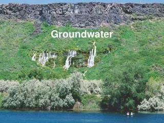
This article explores the truths and misconceptions related to groundwater on the Pender Islands. It discusses various groundwater issues, the conceptual model for groundwater management, the relationship between climate and water resource management, factors influencing groundwater recharge and availability, geophysical measurements, and population growth. The article aims to provide valuable insights for planning future groundwater management on the Pender Islands.

E N D
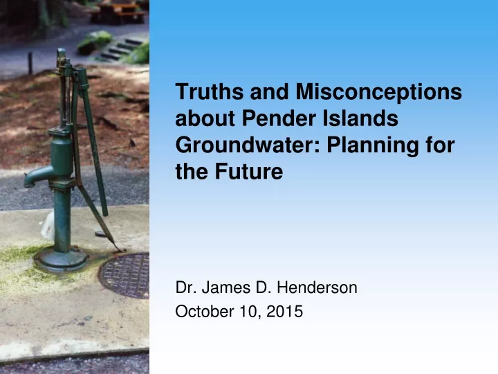
Truths and Misconceptions about Pender Islands Groundwater: Planning for the Future Dr. James D. Henderson October 10, 2015
TRUTHS • Water runs downhill • Freshwater floats on saltwater • Province of B.C. owns all groundwater • Only fresh water source is rainfall
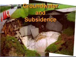
GROUNDWATER ISSUES Drought Saline intrusion/Other contamination Water well interference Seismicity Lack of alternative natural water sources Time frame Changing legislation
Water Balance Equation Inputs = Outputs + Changes in Storage
Revised Water Balance Equation P = R +/- O +/- G +/- S +/- I +/- C +/- M + E
FACTORS INFLUENCING GROUNDWATER RECHARGE • texture and gradation of surface and near surface deposits and their vertical permeability • nature and consumptive use of the vegetative cover • frequency, intensity and volume of rainfall • soil moisture content • topography • temperature.
WATER AVAILABILITY, REQUIREMENT AND USE • Protection of aquatic and wetland habitat • High well development • Management of extreme events (drought, flood, etc.) • Excessive extraction from surface and ground waters • Climate change • Safe drinking water supply • Land use
Objectives of Geophysics • Freshwater/saltwater contact • Bedrock depth and degree of fracturing • Fault Location • Variability of soil type and thickness
Ghyben-Hertzberg Equation hs = (Pf / (Ps-Pf))(hf)
POPULATION GROWTH Pender Census 2001 1,776 Pender Census 2006 2,181 Pender Census 2013 2,236 VIHA Projection 2033 2,840