Download
1 / 23
250 likes | 363 Views
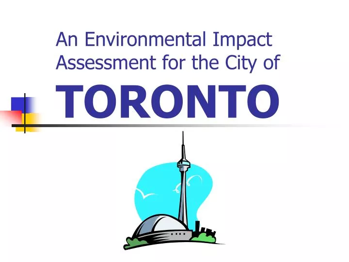
An Environmental Impact Assessment for the City of TORONTO. An EIA for the City of TORONTO. Location & History Status Quo Projected Growth Perceived Impacts Recommendations. Location & History. Toronto is located in the Great Lakes Region of Southern Ontario, Canada

E N D
An EIA for the City of TORONTO • Location & History • Status Quo • Projected Growth • Perceived Impacts • Recommendations
Location & History • Toronto is located in the Great Lakes Region of Southern Ontario, Canada • Founded as the Town of York in 1793 • Surpassed Montreal as Canada’s largest city in the 1980s • Regional Municipality amalgamated in 1997 to become 5th largest in N America
Location & History • For past 50 years, regional land use planning and transportation have been coordinated by the Province • Metropolitan Toronto Planning Area – 1953 • MTARTS – Choices for a Growing Region – 1967 • Design for Development – 1968 • Toronto-Centred Region Plan – 1970 • Central Ontario Lakeshore Urban Corridor – 1975 • Central Ontario Smart Growth – 2002 • Places to Grow – 2004
Location & History 1960s Plan for Development
Location & History Today’s Urban Areas v. 1960s Plan for the Future
Status Quo • Population • 2.5 million • 5.3 million in the GTA • Waste Production • 111 trucks of waste per day to Michigan • down from 142 trucks a day in 2003 • enough to fill the SkyDome annually
Status Quo • Environmental Practices • Recycling • Composting • Yard Waste
Status Quo • Official Plans • Each Regional Government’s Plan for Development within their Municipality • Oak Ridges Moraine Plan • Niagara Escarpment Plan • Greenbelt Plan • “Places to Grow”
Projected Growth • GTA growth rate is 2nd only to Dallas • 107 000 immigrants / year in the GTA (55% of Canada’s immigration) • 4.0% growth from 1996 to 2001 • Ontario has “exhausted” its infrastructure capacity put in place during the 1960s-1980s
Projected Growth • The problems facing Ontario today are similar to the late 1960s • Strong economic growth and high immigration levels • Planning/investment for infrastructure • Environmental protection (Niagara Escarpment/Oak Ridges/Greenbelt) • Solution was comprehensive super-regional planning.
Projected Growth • Population Growth Shares
Projected Growth • Employment Growth Shares
Perceived Impacts • To accommodate the population growth of 2 400 000 (2001-2031), 1 200 000 new residential units will be required. • 840 000 units will be in new urban areas. (15% high density, 25% medium density, and 60% low density) • Assuming 15 units to the gross hectare, this will require 56 600 hectares of new residential lands
Perceived Impacts • Over the next 30 years, growth forecasts indicate that 600 000 new jobs will be created in areas that we have traditionally called business parks or industrial areas • At 50 jobs per hectare, with a vacancy rate of 20%, 14 500 hectares of new employment lands will be required
Perceived Impacts Vacant Land in the GTA
Perceived Impacts • Given projected growth rates, 71 100 hectares of new land is required • 17 420 hectares is available within 40 kilometres of Pearson Airport • 9970 hectares is available beyond 40 kilometres of Pearson Airport • Which leaves a shortfall of 31 770 hectares
Recommendations • Waste Diversion • In 2004, 36% of Toronto’s residential waste was diverted • Achieve a diversion rate of 60% by 2008 and 100% by 2012
Recommendations • Urban Intensification • mix of housing and employment within developments • establishing nodal employment centres
Recommendations • ET CETERA… • This is where YOUR insight and recommendations come into play (opposed to direct research) • Be DETAILED and THOROUGH with your recommendations at this stage