Download
1 / 26
260 likes | 323 Views
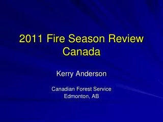
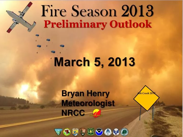
March 5, 2013. Fire Season 2013. Bryan Henry Meteorologist NRCC. Ash Creek 2012. Preliminary Outlook. 10-Year Averages. Last Year’s Forecast Under High Uncertainty…. Questions? What about the developing long-term drought conditions across SC and SE MT?

E N D
March 5, 2013 Fire Season 2013 Bryan Henry Meteorologist NRCC Ash Creek 2012 Preliminary Outlook
Last Year’s Forecast Under High Uncertainty… • Questions? • What about the developing long-term drought conditions across SC and SE MT? • How’s all that standing, dead grass treating you on the East side? • Will there be impacts from the dry fall in the mountains? • How will a normal snowpack impact the fire season? • Analog years suggest a normal season. Are they wrong? • What will the monsoon be like this year? 2012?
Thoughts from February 2012 on Fire Season 2012 • ENSO neutral conditions likely for summer though they could flirt with a weak El Nino by late summer. • Fuels should dry more quickly than in the past 3-4 years…more reminiscent of “early” curing observed during the 2000-2007 period. • We may get periodic wetting systems through August which may keep the season from becoming a “barn burner”. • In March the focus should begin to shift from observing snowpack accumulation to the observing the rate of snowpack loss. • La Nina springs are usually cool and wet. However, this past winter was not your typical La Nina. Why then should spring be typical? -As a result of recent trends, we’re bucking the system and going for a normal spring that has a good warm up in mid-late May with high elevation snowpack gone by mid June. • A typical, average-above average fire season is expected with the season starting a few weeks sooner than in recent years (mid July).
2012-By the Numbers • 3,433 Fires for 1,497,972 acres…making it the “torchbearer” of the modern era-from an acreage standpoint. • This was the largest fire season since 1919 when 1,514,554 acres burned. • 1910 is the largest on record at 2,725,796 acres. • A little over 1.8 million acres burned in 1988, but recent research indicates that several very large fires my have been double counted that year.
2012 Acres Burned-The Rankings 2012 1,497,972 20061,201,117 2007 1,185,199 2000 1,087,920 2003 942,022
* Missoula * DahlFire * Mustang Complex Fire Season 2012 * Billings * Ash Creek Fire June 27, 2012 August 30, 2012
Factors that Influence Fire Season Severity ENSO Neutral Springs Typically Lead to avg Conditions July Temperatures and Precipitation Summer Convection Spring Factor Snowpack is generally 80%-95% of normal Ocean/Atmospheric Circulations (ENSO/PDO/etc.) Winter Snowpack Melt Live/Dead Fuel Moisture Fall was “near average” across the NR region Fall Moisture and Preexisting Drought Conditions
Image 2 A: Fire sizes in relation to snow melt off date (basically, the earlier the melt off date, the larger the fires tend to be). • Image 2B: Number of large fires at mid elevations in relation to snow melt off dates. (Basically, the earlier the melt off date, the more large fires that develop). *Note that the data only goes through 2002!
Effects of Climate Change on Numbers of Large Fires Figure 4a scatter plot of annual number of large (> 200 ha) forest wildfires versus avgspring and summer temperature for the Western USA USFS, Park Service, and BIA management units reporting 1972 - 2004. Fires reported as igniting in forested areas only. Big Jump in # of large fires in years that are .3 degrees warmer than normal.
Soil Moisture Anomalies show the effects the long term drought conditions across SC-SE MT and the Dakotas. Notice the dry spot that has developed over SW MT.
Some of this area is already under Severe drought and will need to be monitored for the potential for “Above Normal” fire potential should drought relief not come. Some relief June MAR-JUN Percent of Normal Precipitation (Last 60 days)
Snowpack is below-near normal -Areas of most concern are Colorado and SE Wyoming though these areas have shown improvement over the past 2 weeks.
Best Analog Years (from an ENSO Perspective): 1487 Montana …Actually, there are none this time around.
Thoughts on ENSO & PDO trends • ENSO data from 2012 paralleled 2006, another big season, but it also paralleled several other seasons that were not severe like 1996 and 2001. • Prolonged +ENSO Neutral conditions coupled with –PDO led to a longer than normal season last year with a near record number of acres burned. • Latest sea surface temperature trends suggest that we will be ENSO Neutral through the first half of the summer. This will likely promote above normal temperatures and below normal precipitation. • .3 degrees C means everything to us! • http://cses.washington.edu/cig/maps/index.shtml
Comparing Late Winter/Spring 2012 to this Year • Central MT – ND at least got some snow this winter…not a lot, but still “some”. • Drought signal showing improvement (E MT and ND) this year compared to last year when it was developing. • Anticipated springtime pattern more progressive and wet than last year. • Mountain snowpack is about 10-20% less this year than last year. • This winter has been less windy and warm than 2012.
Thoughts on Fire Season 2013 • Pregreenup grassfire activity possible again across SC and SE MT in drought stricken areas. It probably won’t be as significant as last year’s activity. • Following greenup, same areas across SC and SE MT may experience normal-above normal fire activity again this year in July before the season shifts west. • Normal “core” fire season start is expected in all areas. • Convective activity remains a wildcard.
Northern Rockies Fire Season Outlook for 2013 (July through September)-Preliminary NOT OFFICIAL See Text Normal Normal Text: *Long range climate models point suggest drier than normal conditions across N ID and NW MT and above normal temperatures (region-wide). If another significant monsoon ensues, then the mountains could experience another above normal season.
http://gacc.nifc.gov/nrcc/ 2013 Products and Services